Tunnel Inspection
via Drone
See Deep Without Entering — Drone Tunnel Scans.
Autonomous underground drone inspections powered by SLAM navigation, LiDAR mapping, thermal imaging, and real-time tunnel intelligence.
MODERN TUNNEL INSPECTION
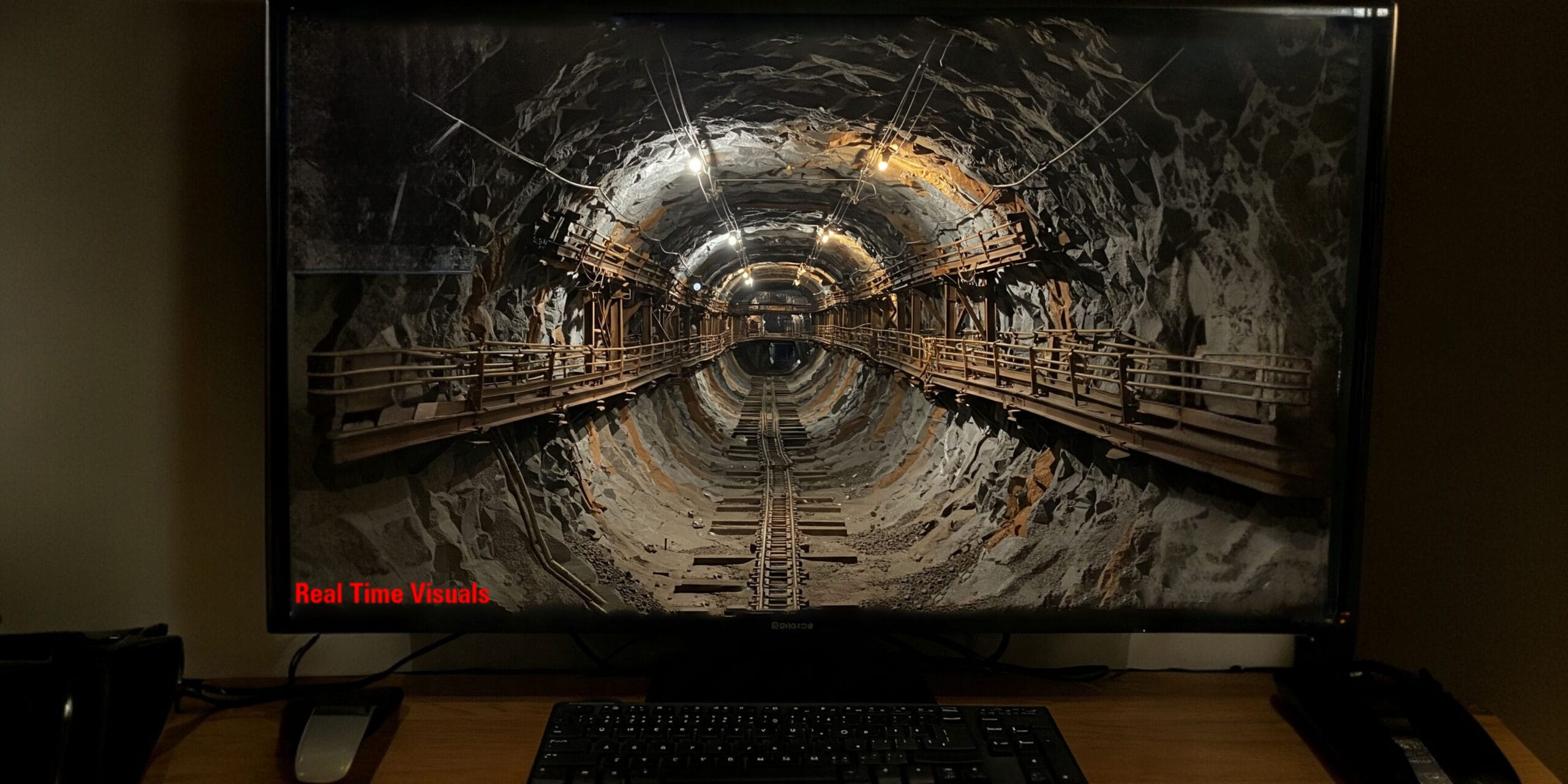
Tunnel inspections in underground mines no longer require human entry into dangerous or collapsed zones.
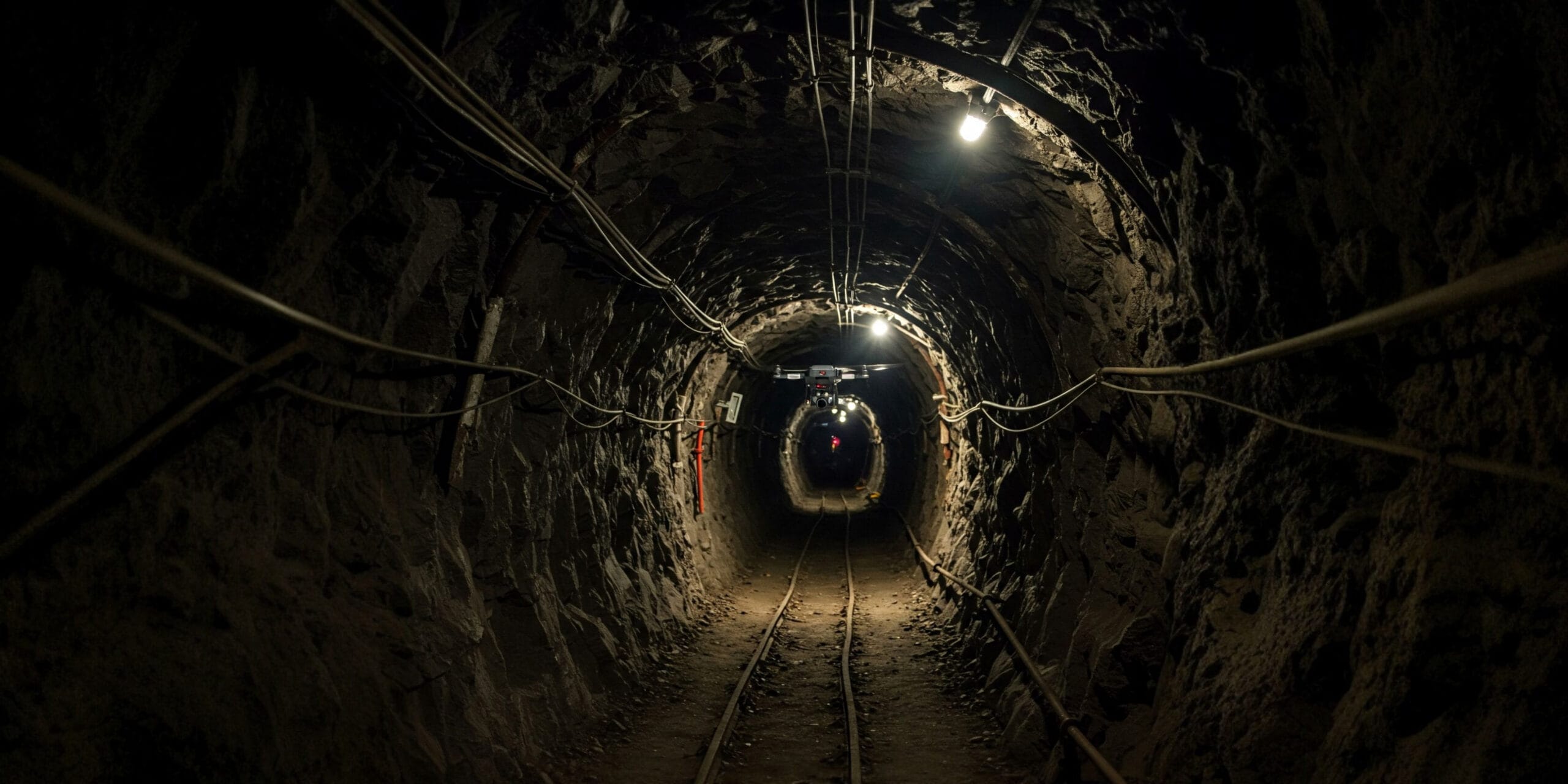
Using SLAM-enabled drones equipped with LiDAR, thermal imaging, and photogrammetry, we map and monitor underground networks including ventilation shafts, stopes, haulage tunnels, and ore passes — even in total darkness and GPS-denied environments.
- No scaffolding or entry risk
- Real-time visual feedback
- Faster inspections with detailed data
- Ideal for pre & post-blast analysis
AUTONOMOUS ADVANTAGE
Why
Choose Us?
Combining advanced robotic navigation with deep-earth mining expertise to deliver unmatched spatial data safely.
Zero Man Entry Risk
Send the drone into hazardous, unsupported, or collapsed environments instead of personnel, completely eliminating fatal entry risks.
Rapid Scanning
Fly through and capture a complete 3D digital twin of a massive tunnel or stope in a matter of minutes, minimizing operational downtime.
Centimeter-Level Accuracy
Utilizing cutting-edge LiDAR payloads to ensure volumetric and spatial measurements are exact, even in complex underground geometries.
Repeatable Trend Monitoring
Fly the exact same autonomous path periodically to detect micro-movements, surface instability, and stress-induced cracking over time.
Mine Planning Integration
Data easily exports into standard mining software (Deswik, Surpac) for immediate volume calculations and structural assessments.
TARGETED DEPLOYMENT
Use Cases
Pre & Post Blast Inspection
Identify structural changes, fresh voids, over-break, under-break, and debris distribution immediately post-blasting safely.
Crack & Deformation Monitoring
Detect minute surface instability, stress-induced cracks, and pillar deterioration before they compromise safety.
Tunnel Volume Estimation
Calculate blasted volumes accurately and monitor cavity fill operations to ensure regulatory records are exact.
SYSTEM CAPABILITIES
Technology Stack
Fully equipped for autonomous mapping, even underground.
SLAM-Enabled Drones
Simultaneous Localization and Mapping allows the UAV to self-navigate and avoid obstacles in completely GPS-denied environments.
Thermal Imaging
Detect overheating electrical equipment, hidden moisture seepage, and ventilation leaks instantly using FLIR thermal sensors.
LiDAR & Photogrammetry
Generate precise, dense 3D point cloud models of the tunnel geometry for volumetric and structural analysis.
OUTPUT DATA
Deliverables
Image & Video Logs
High-resolution visual and thermal recordings of the entire autonomous flight path.
3D Tunnel Maps
Complete 3D digital twins, point clouds, and DTMs of the underground network.
Crack & Damage Reports
Annotated technical reports highlighting structural risks and structural deformities.
Frequently Asked Questions About Tunnel Inspection via Drone
Clear answers about service use cases, accuracy, deliverables, and mining project workflows.
It is an underground inspection method using drones to scan tunnels without sending people into dangerous zones.
Drones reduce human entry risk and provide fast, detailed data in GPS-denied environments.
Ventilation shafts, haulage tunnels, stopes, ore passes, and damaged sections can be inspected.
SLAM navigation, LiDAR, low-light cameras, and photogrammetry are often used.
Deliverables include image logs, video logs, 3D tunnel maps, and crack reports.
Ready to Inspect Your Tunnels
— Without Entering Them?
Get in touch today and book your professional underground drone inspection with Droid Mining Solutions. Explore the unseen, safely.
GET IN TOUCH