
Engineering Smarter Mining Intelligence
Advanced Drone Survey, DGPS Mapping, LiDAR Intelligence and Mining Technology Solutions tailored for precision.
Drone Survey
High-resolution aerial topography.
DGPS Mapping
Centimeter-level control data.
LiDAR Intelligence
Dense terrain and surface models.
OPITBlast
Drill and blast optimization.
About Us
Droid Mining Solutions is revolutionizing the mining industry with cutting-edge technology. Our expert team excels in addressing the unique challenges of mining through innovative, data-driven solutions.
We offer specialized drone surveys, DGPS mapping, LiDAR intelligence and 3D visualization services, providing highly accurate spatial data for critical mine planning and operational decision-making.
Committed to safety and efficiency, we enhance mining operations while reducing costs and environmental impact.
Our Evolution
Building intelligent mining workflows through advanced geospatial engineering.
Innovation
Technology-first approach to mining operations.
Drone Expansion
Fast aerial mapping for complex mine sites.
DGPS Integration
Accurate survey control and boundary mapping.
LiDAR Mapping
High-density 3D terrain intelligence.
Mining Intelligence
Actionable reporting for faster decisions.
Surveys Completed
Mining Sites
Mapping Accuracy
Fast Deliverables
Why Choose Us
Practical, accurate and scalable mining technology support.
Innovative Technology
Advanced drone surveying and mining automation powered by modern tools.
Expert Team
Experienced professionals delivering accurate mining intelligence.
Comprehensive Services
End-to-end support from surveying to visualization and analysis.
OPITBlast Optimization
Planning workflows optimized for productivity and operational safety.
Transforming Mining With Smart Technology
Since 2016, we have been providing innovative technology solutions to the mining industry, revolutionizing operations for mining companies worldwide.
- Enterprise Drone Survey Systems
- Deep-Penetrating LiDAR Scanners
- High-Precision DGPS Rovers

Behind The Scenes
Inside the field execution, hardware and analysis work that power every project.
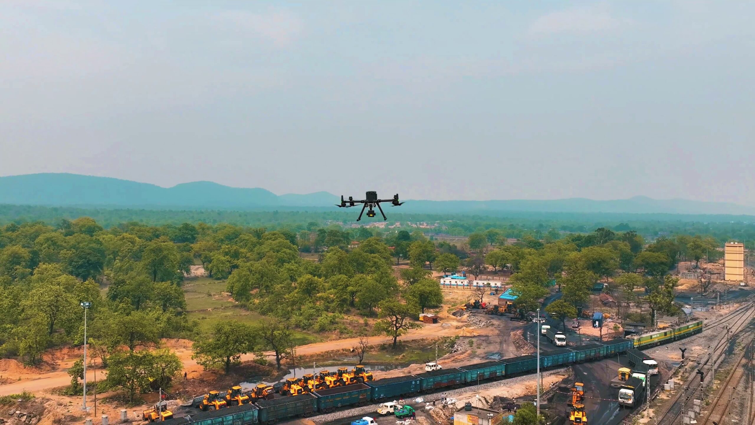
M350 RTK Operations

Drill & Blast
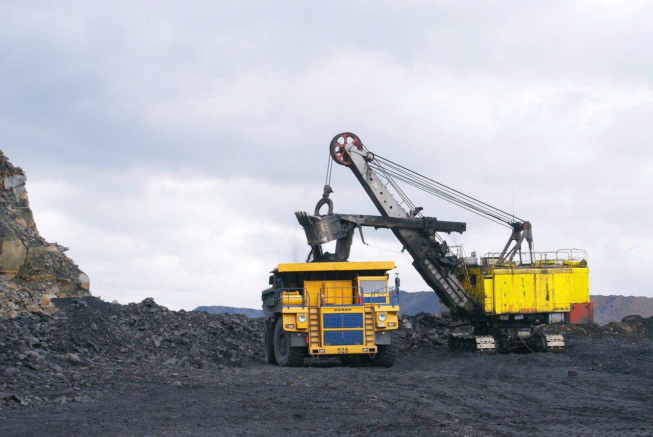
Heavy Operations
Our Workflow
A streamlined process from deployment to delivery.
Site Inspection
Requirement study and flight planning.
Data Capture
Drone, DGPS, LiDAR or sensor acquisition.
Processing
Point clouds, orthos, DEMs and 3D outputs.
Analysis
Measurements, interpretation and reporting.
Deliverables
Clear reports and geospatial files for action.
Empowering the Future of Mining Intelligence
Unlock the potential of automated drone surveying and geospatial analytics with Droid Mining Solutions.