Geospatial &
Remote Sensing
Empowering Accurate Insights with Cutting-Edge Mapping & Analysis
Transforming Terrain into Intelligence
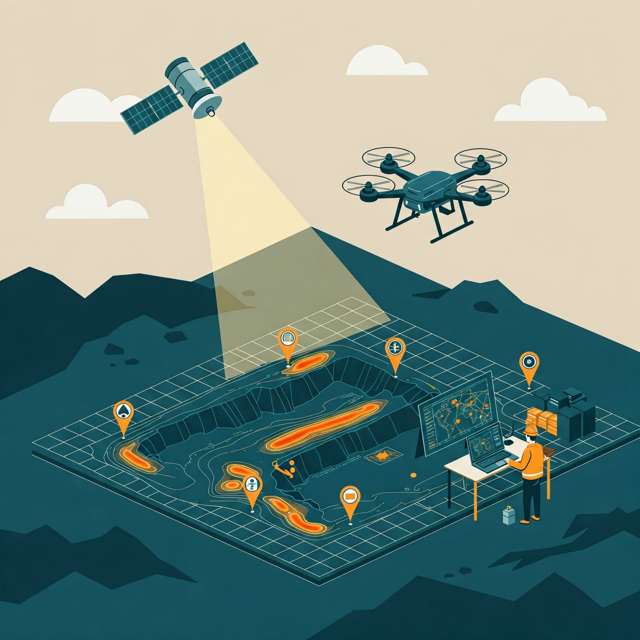
Our Geospatial & Remote Sensing services provide actionable earth-observed data collection, analysis, and visualization tools to unlock valuable insights.
From exploration and mapping to monitoring and modeling, our solutions are designed to enhance accuracy, efficiency, and decision-making across mining, infrastructure, environmental, and energy sectors.
Sub-cm
Accuracy
3D
Modeling
Real-time
Processing
What We Offer
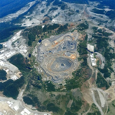
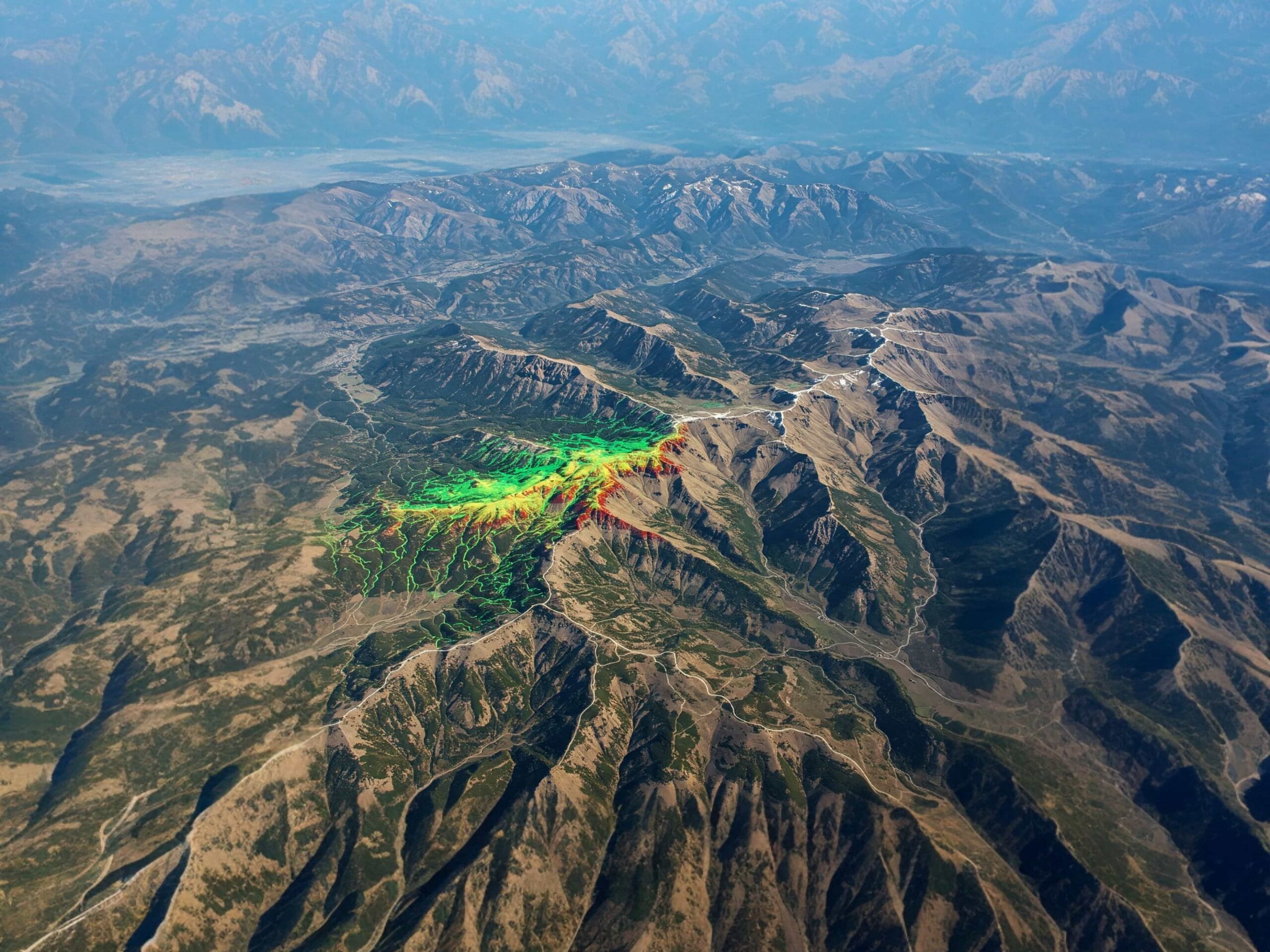
Satellite Imagery Analytics
Analyze high-resolution satellite imagery for land monitoring, mining expansion tracking, and environmental analysis.
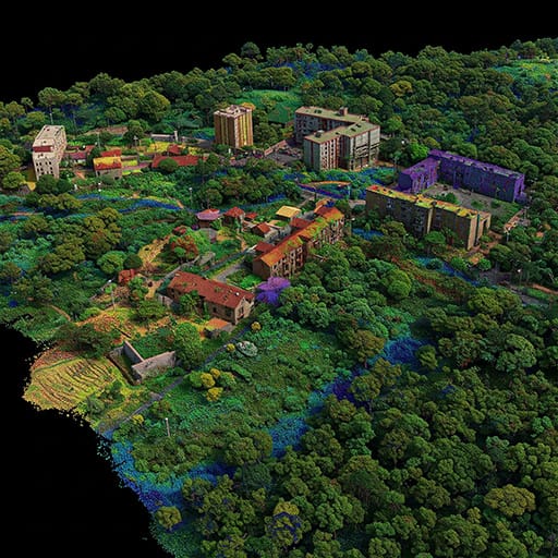
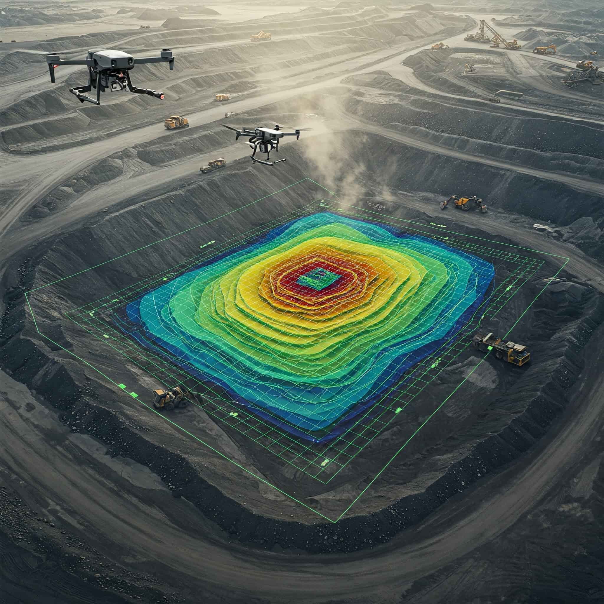
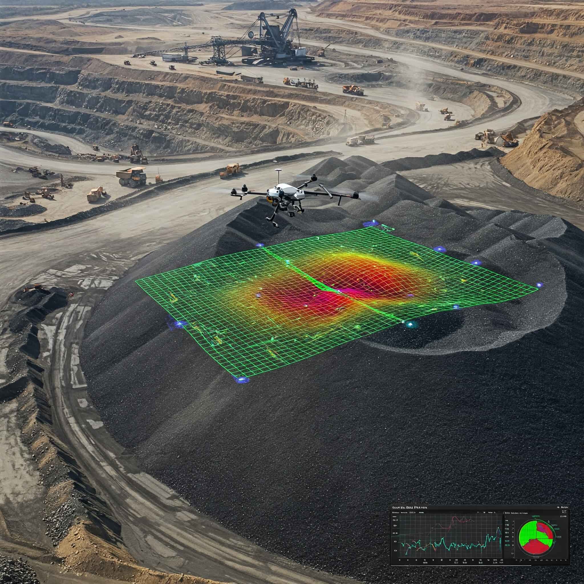
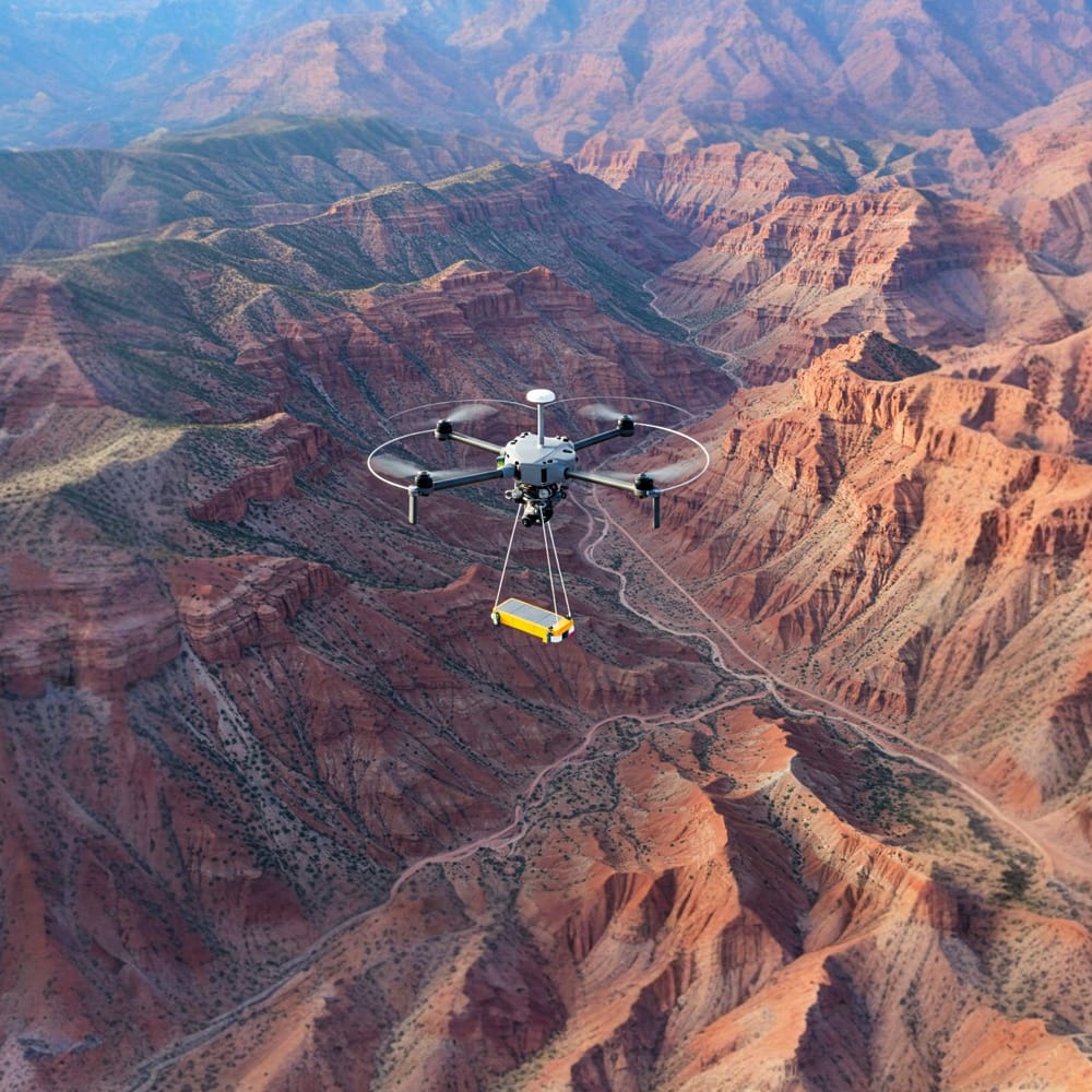
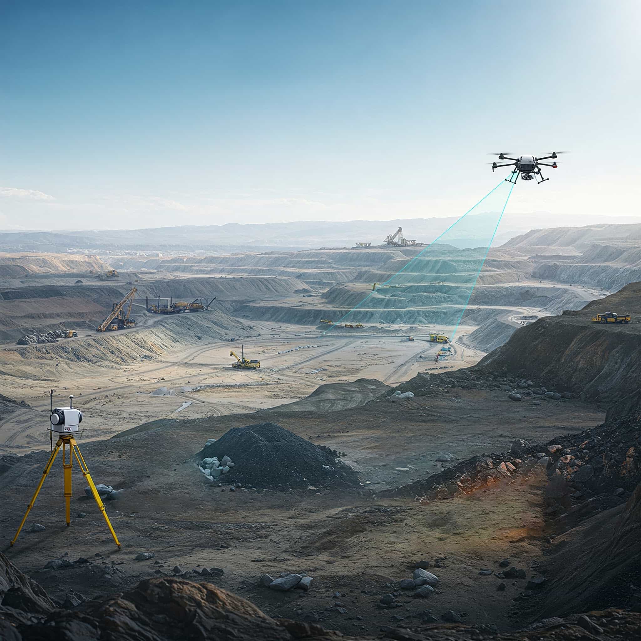
LiDAR Mapping (UAV + Terrestrial)
Generate highly accurate elevation models and terrain mapping using UAV and terrestrial LiDAR systems.
Ground Penetrating Radar (GPR)
Detect underground structures, subsurface utilities, and geological anomalies.
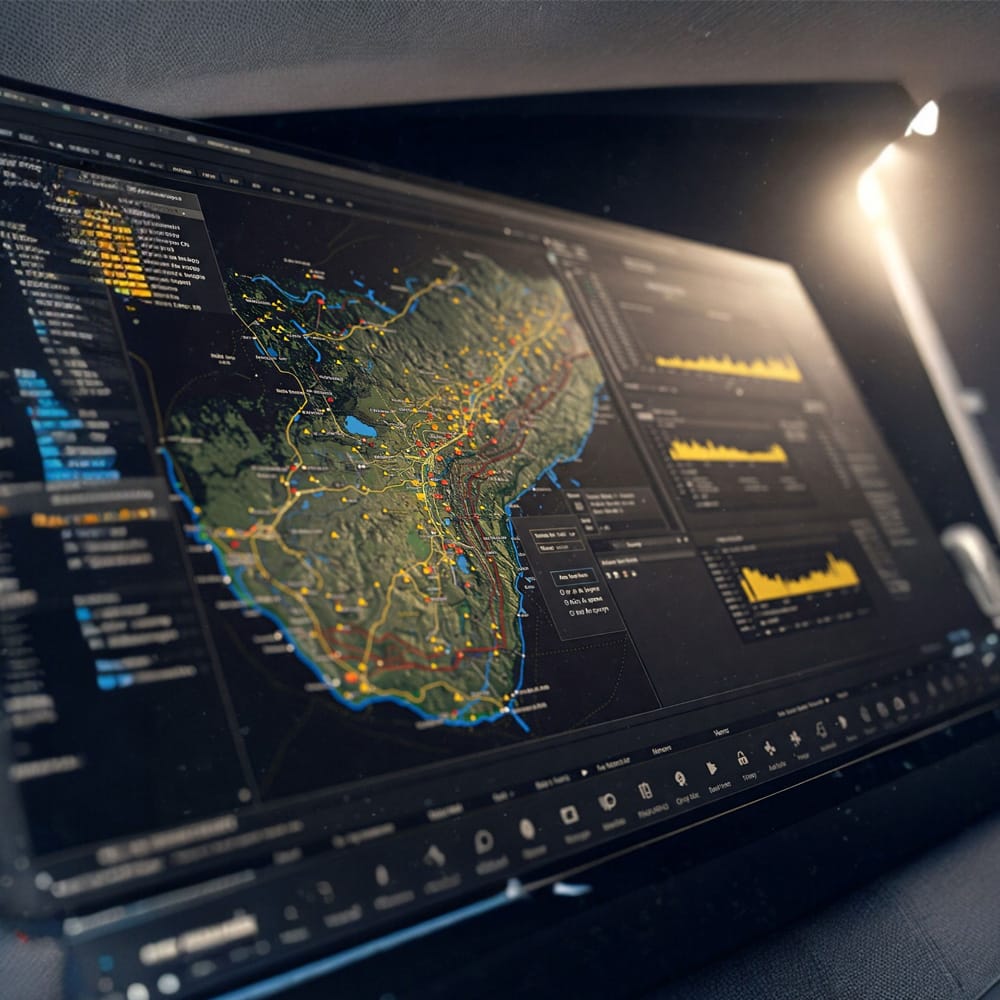
GIS Mapping
Create intelligent databases, infrastructure maps, and spatial analysis platforms.
Geophysical Prospecting Tools
Use magnetometer and geophysical tools to identify mineral-rich zones.
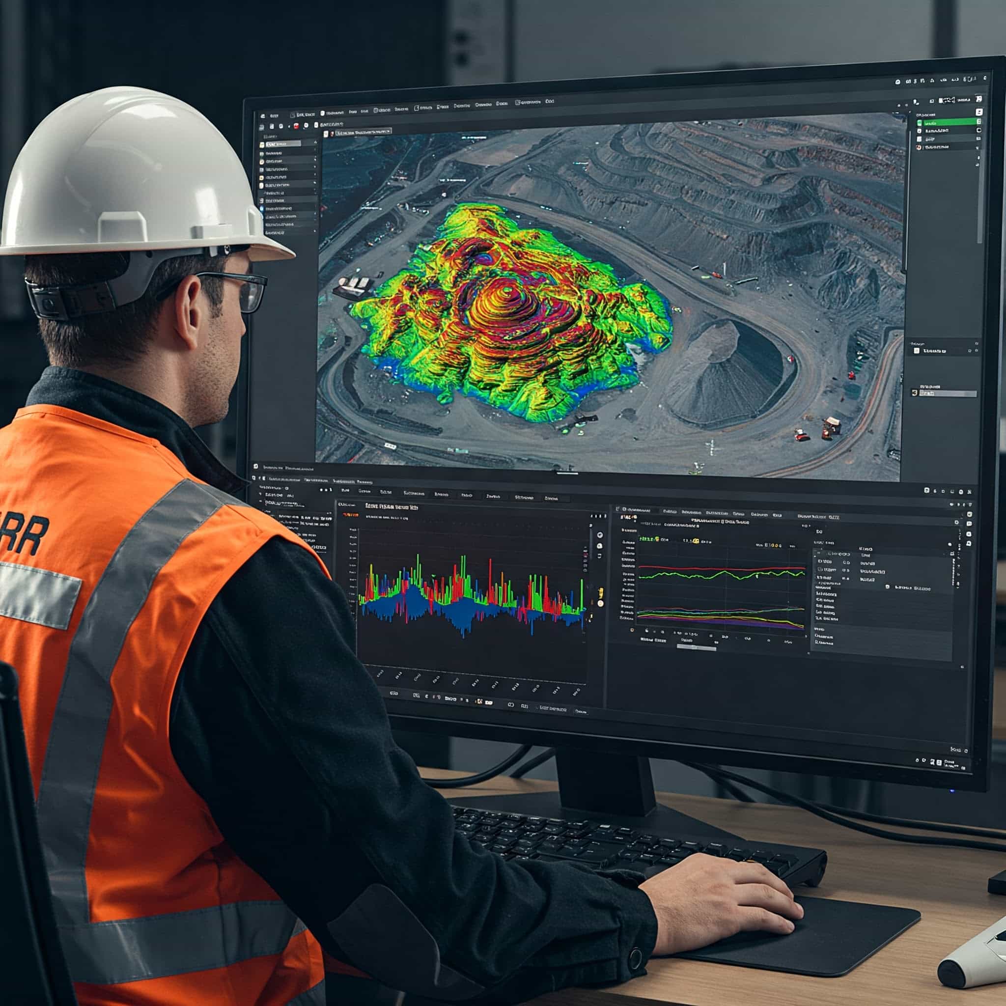
Our Geospatial & Remote Sensing Process
Phase 01
Data Collection
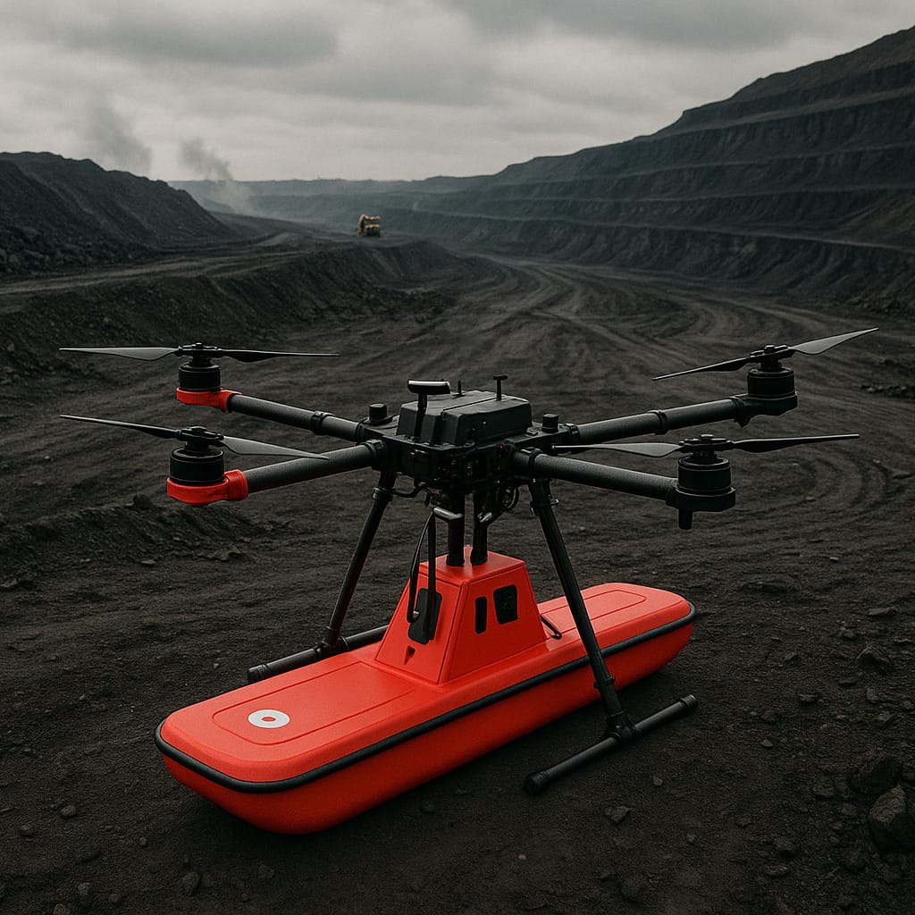
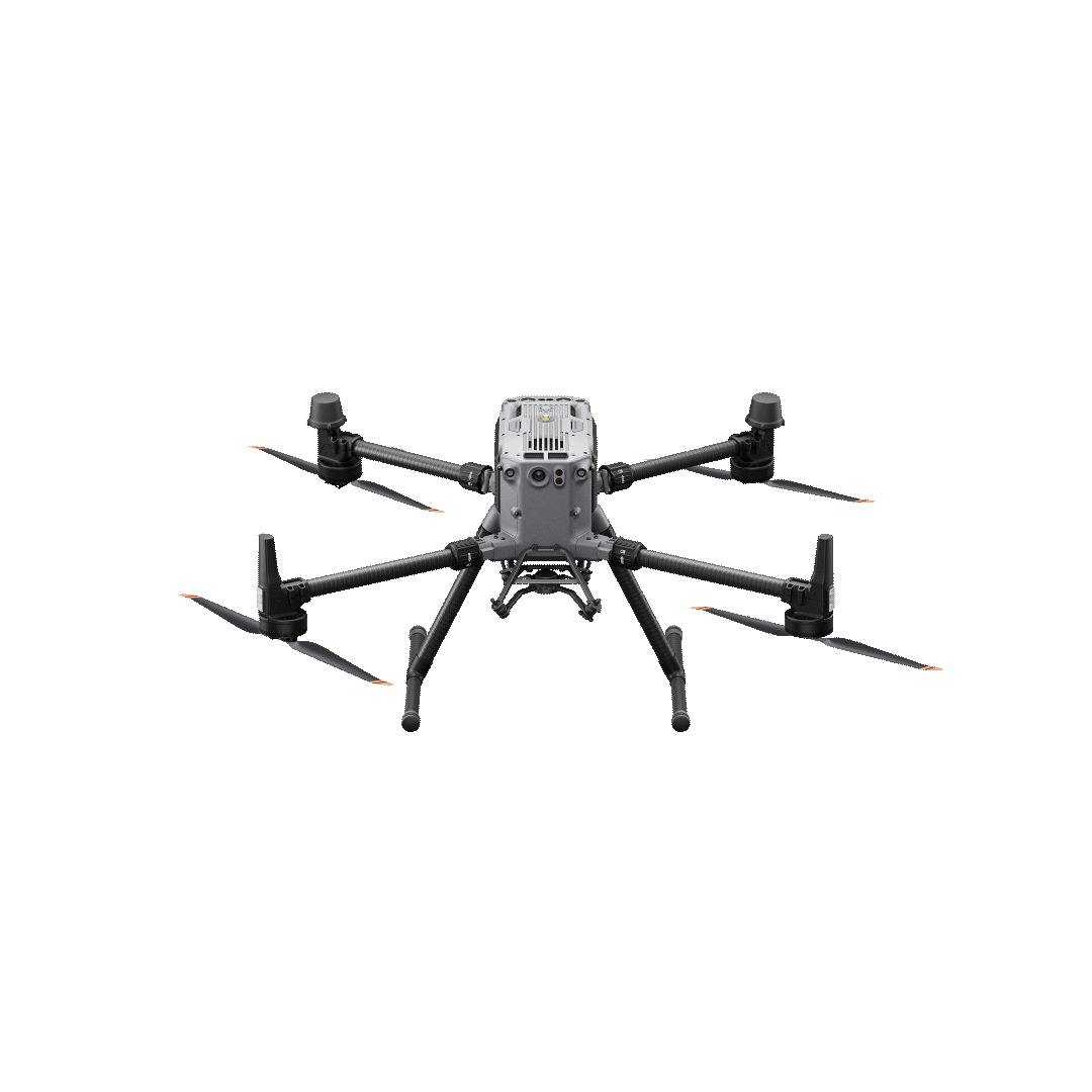
- UAV-based drone surveys for high-res aerial images and LiDAR data.
- Satellite imagery for large-area mapping.
- Ground-based methods such as GPR.
- Drone-based magnetometers for geophysical prospecting.
Phase 02
Data Processing & Integration
- Data pre-processing to remove noise and calibration errors.
- Integration of satellite imagery with GIS platforms.
- 3D model generation using LiDAR and UAV data.
- Surface interpretation with AI-driven analysis.
Phase 03
Analysis and Modeling
- Creation of accurate digital elevation models (DEMs).
- Volumetric calculations for stockpile measurement.
- Feature extraction (roadways, buildings, vegetation).
- Advanced analysis for exploration and planning.
Phase 04
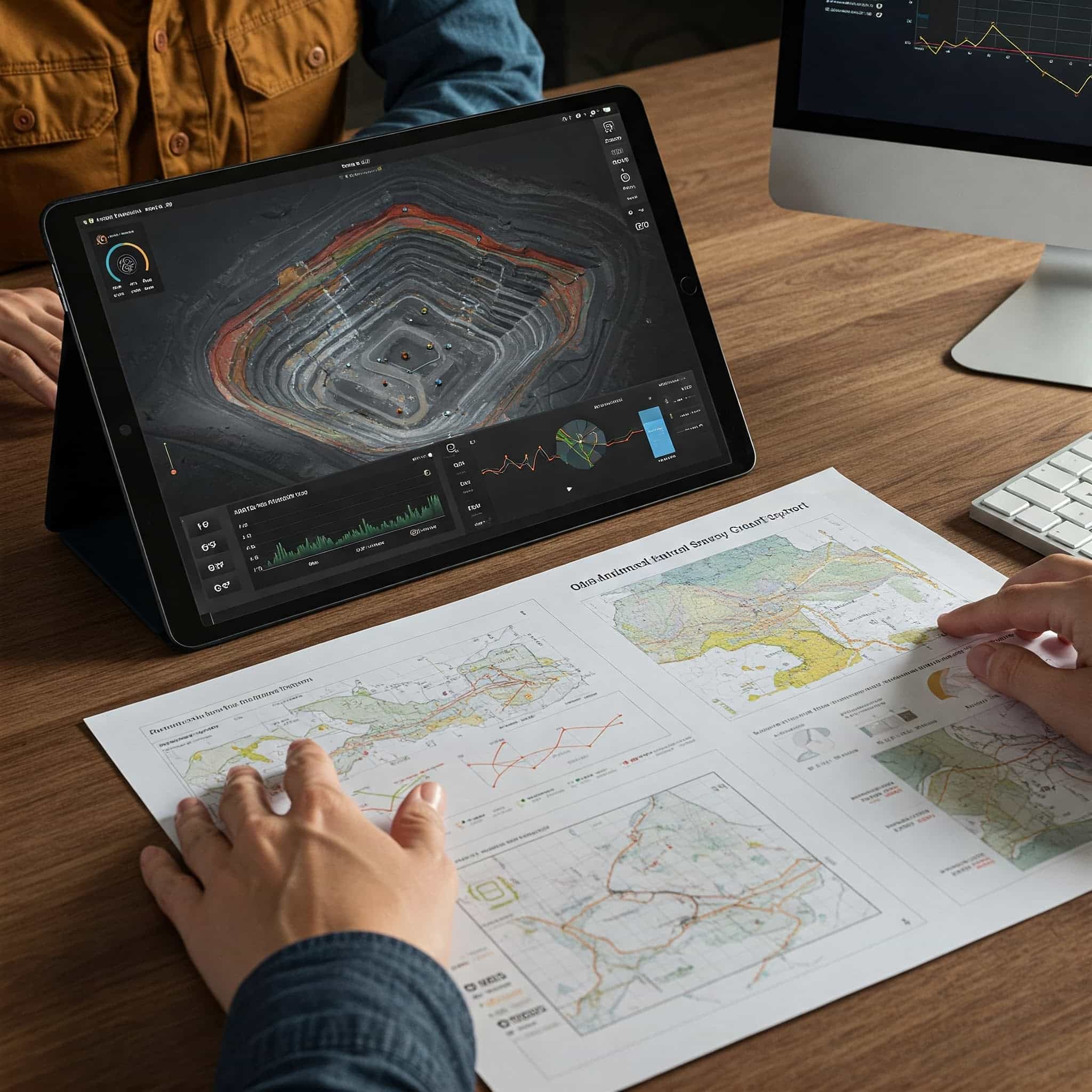
Reporting & Visualization
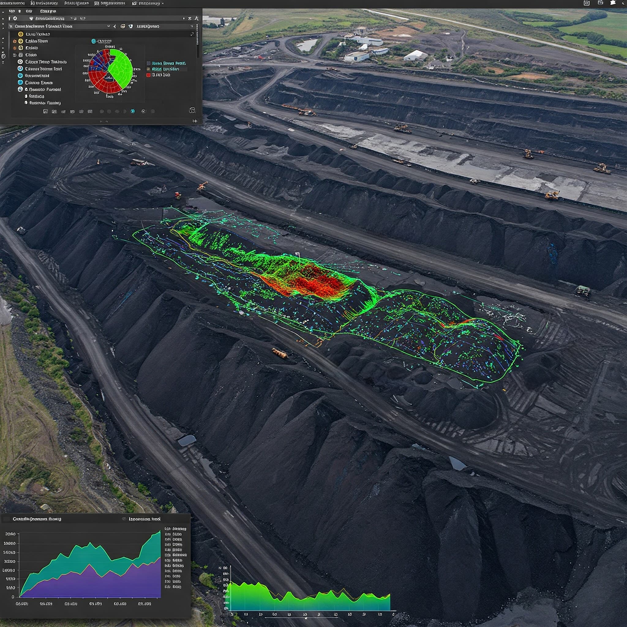
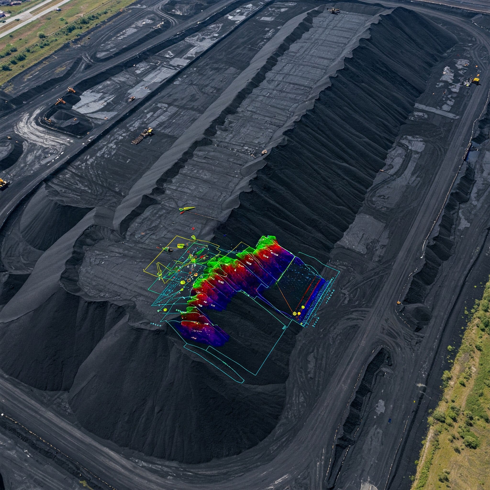
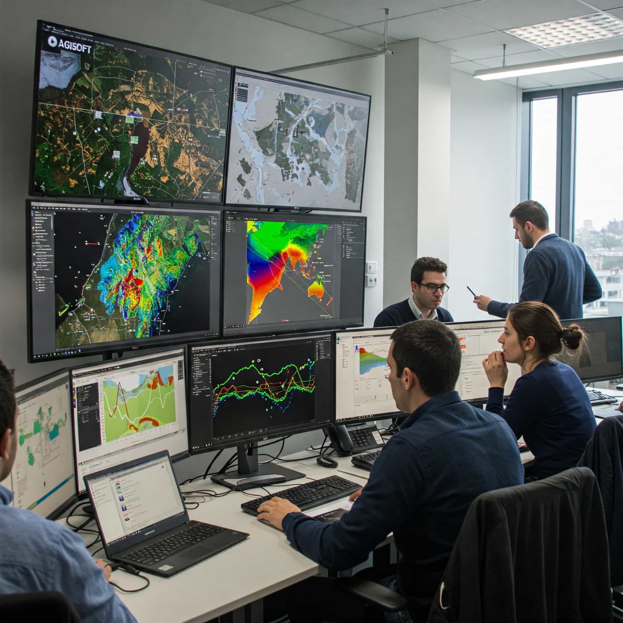
- Interactive dashboards and map visualizations.
- 3D mesh rendering and animation for better decisions.
- Custom reports tailored to client needs.
Our Advanced Technology
“We use cutting-edge tools and platforms to deliver accurate, reliable, and scalable geospatial intelligence.”
Software & Platforms
Drone Systems
Sensors & Equipment
Why Choose Our Geospatial & Remote Sensing Services?
Precision and accuracy in mapping
Cost-effective solutions compared to traditional methods
Real-time data collection and analysis
Detailed insights for better decision-making
Frequently Asked Questions About GIS & Remote Sensing
Clear answers about service use cases, accuracy, deliverables, and mining project workflows.
It is used to analyze satellite, drone, and spatial data for exploration, planning, and monitoring.
It helps assess large areas quickly and supports environmental, operational, and exploration decisions.
GIS mapping organizes and visualizes geospatial data for better site planning and analysis.
Outputs include thematic maps, change detection maps, GeoTIFFs, KML overlays, and analysis reports.
Yes. It helps identify patterns, target zones, and environmental changes during exploration.
Want to Elevate Your
Project with Drones?
Get in touch today and book your professional survey with us now!
GET IN TOUCH