

Drone Based
Inspection
Inspect with Precision. Avoid Downtime.
Non-contact, drone-enabled inspections of critical mining infrastructure — boosting safety and operational efficiency through intelligent aerial analysis.
ELIMINATE HAZARD EXPOSURE
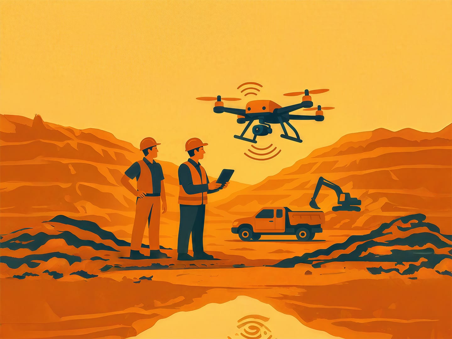
Drone-based inspections provide rapid, risk-free insights into mining infrastructure conditions. By eliminating the need for manual inspections in hazardous areas, we ensure both safety and operational continuity.
Our intelligent aerial platforms scan haul roads, pit walls, benches, and dumps, utilizing advanced imaging to detect cracks, erosion, and structural anomalies before they lead to catastrophic failure.
TARGETED SURVEILLANCE
Focus Areas
Inspect the Essentials. From the Air.
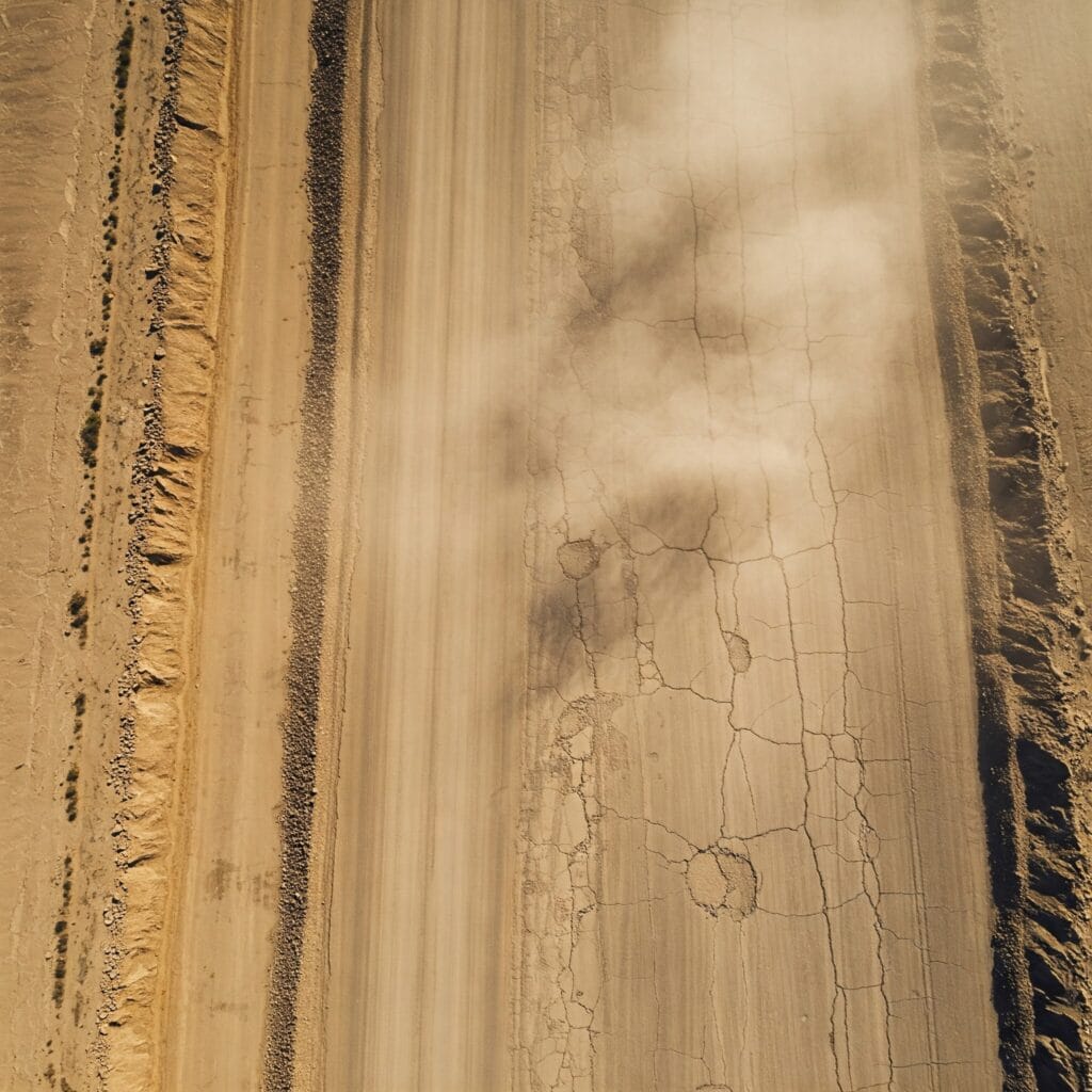
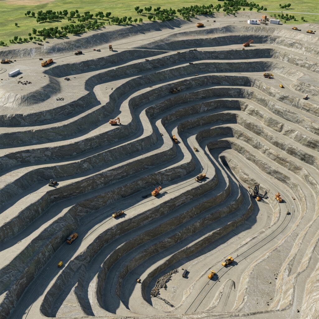
Haul Road Quality Checks
Ensure safe, efficient transportation routes across mining operations. Detect surface degradation, improper grading, and potential vehicular hazards.
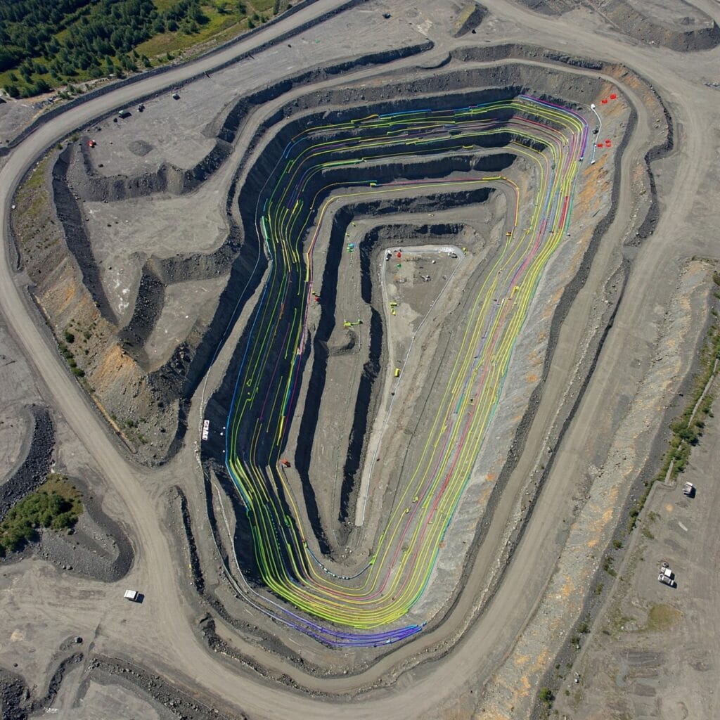
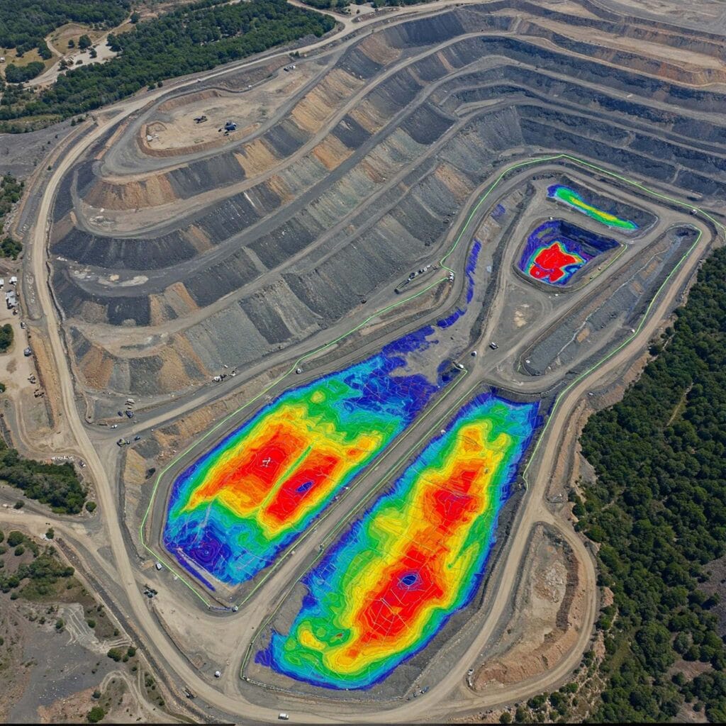
Bench Slope Monitoring
Prevent slope failure and erosion with real-time terrain assessment. Capture high-resolution models to analyze bench crests, toes, and overall slope stability.

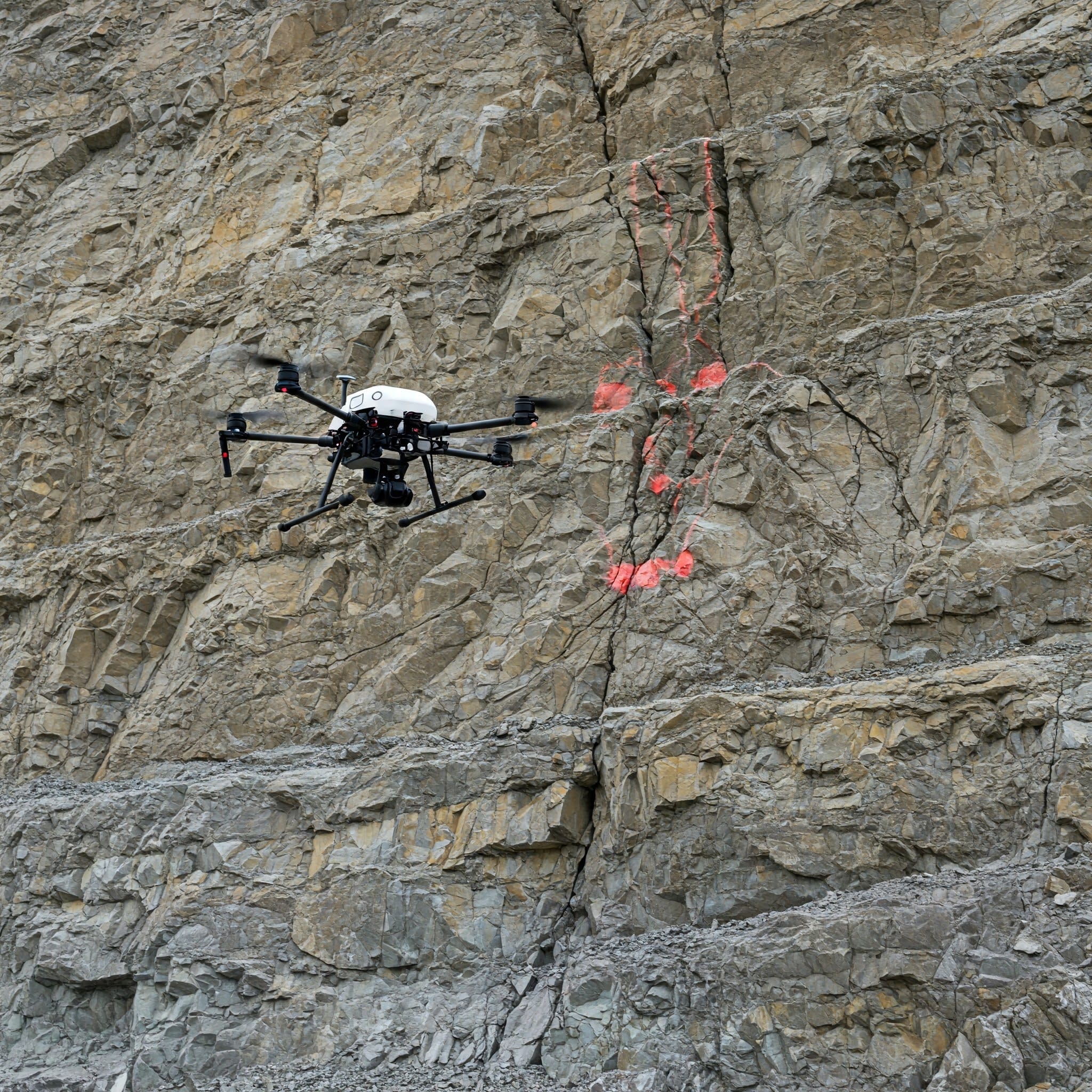
Pit Wall Inspections
Detect early signs of instability, cracks, and structural deterioration in massive pit walls without putting geologists or surveyors in harm’s way.
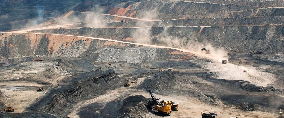
Dump Site Analysis
Assess compaction, material distribution, and structural integrity of overburden dumps to prevent slippage and manage waste areas effectively.
OUTPUT DATA
Deliverables
Inspection Data That Drives Action

High-Resolution Imagery
Crystal clear visual documentation of assets, allowing off-site engineering teams to zoom in on millimeter-level cracks and defects.

Structural Defect Reports
Comprehensive, categorized reports highlighting hazards, prioritized by severity, with exact GPS coordinates for immediate remediation.
3D Visual Reconstructions
Interactive 3D models of inspected areas, enabling structural volumetric analysis and temporal comparisons across multiple survey dates.
Frequently Asked Questions About Drone Based Inspection
Clear answers about service use cases, accuracy, deliverables, and mining project workflows.
It is a non-contact inspection method that uses drones to inspect pits, benches, haul roads, dumps, and other infrastructure.
Drones can inspect dangerous or hard-to-reach areas without exposing workers to risk.
They can help identify cracks, instability, erosion, structural damage, slope issues, and surface hazards.
Yes. It is ideal for routine inspections, high-risk areas, and post-blast condition checks.
Deliverables may include inspection photos, annotated images, video footage, and 3D reconstructions.
Book a Drone
Inspection
Get in touch today and book your professional mining infrastructure inspection with Droid Mining Solutions. Identify risks before they disrupt your operation.
GET IN TOUCH