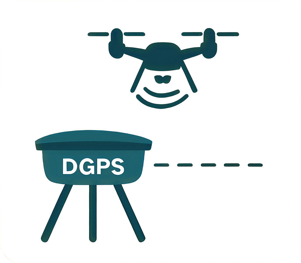
DGPS Survey
Advanced Satellite Positioning for Modern Mining
Accurate mapping, boundary control, and structural stability.
Our DGPS Services
Comprehensive Topographical & Structural Solutions
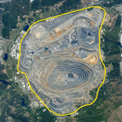
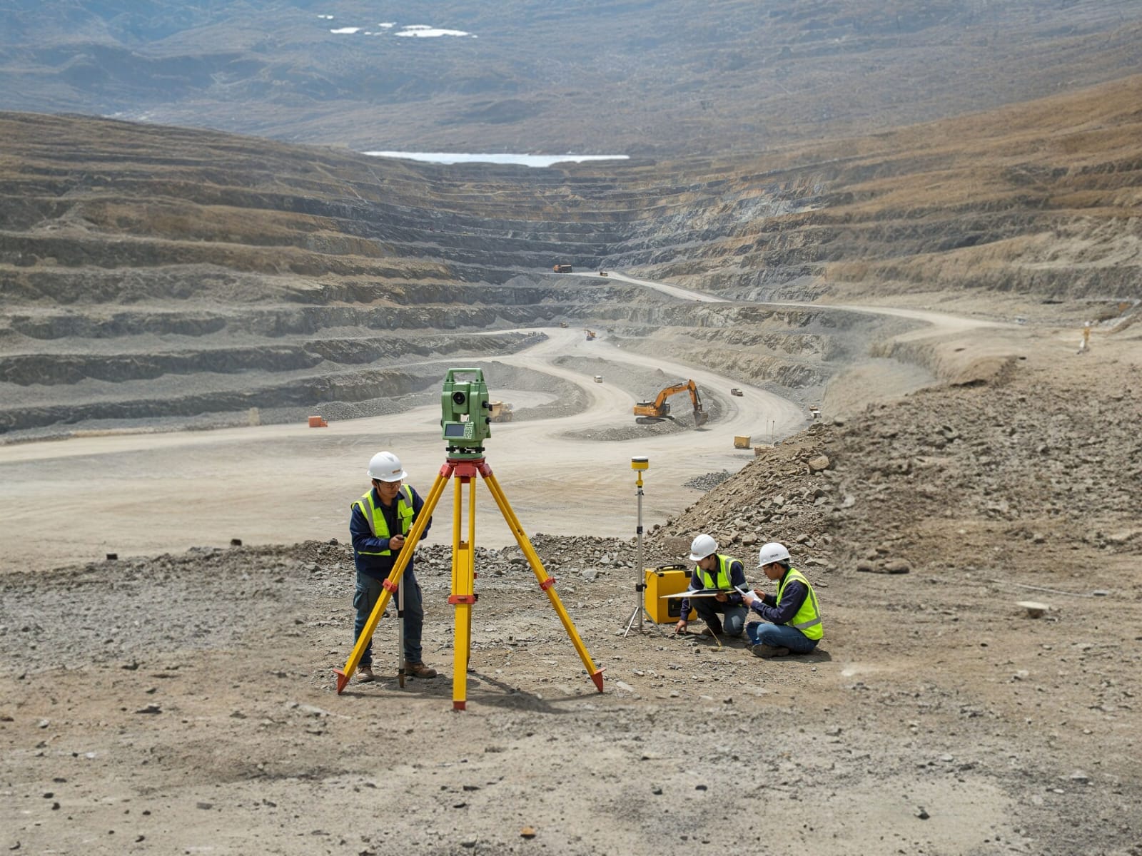
Mine Lease Boundary
Highly accurate demarcation of mining lease areas preventing encroachments and ensuring statutory compliance.
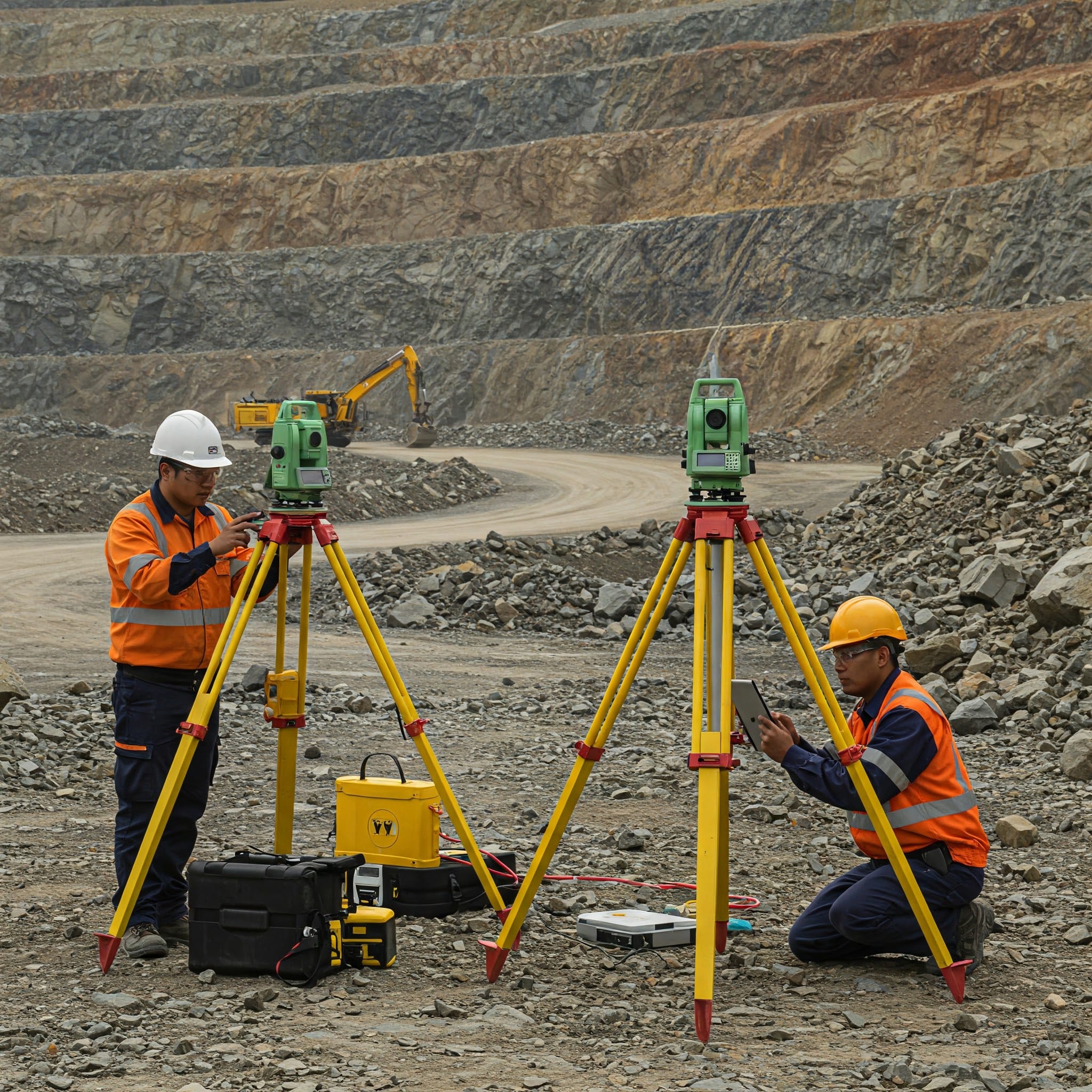
Control Points
Establishment of robust primary and secondary control networks for all subsequent topographical and drone surveys.
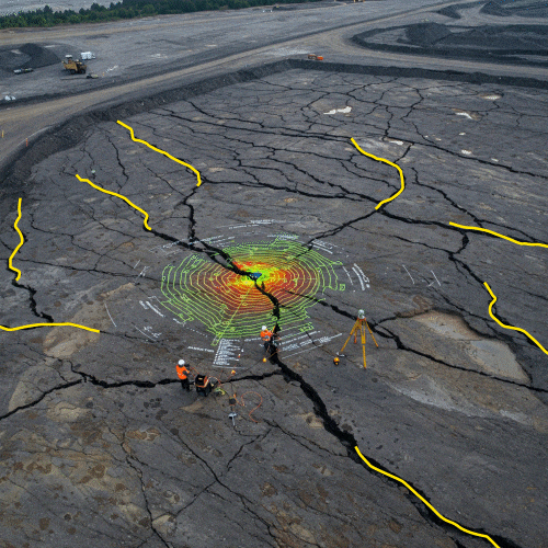
Subsidence Monitoring
Continuous tracking of ground movement and settling over underground mines to predict and prevent collapses.
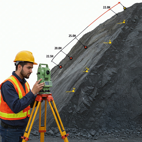
Slope Stability
Critical monitoring of highwalls and dump slopes to identify potential failures and ensure operational safety.
Ground Based Lidar
Terrestrial laser scanning integrated with DGPS networks to capture dense 3D point clouds of active mining faces, stockpiles, and complex structures with sub-centimeter accuracy.
How We Conduct
“A systematic, precision-driven approach from field planning to final output integration.”

Step 1
Site Visit & Planning
Initial reconnaissance to understand terrain complexity, identify satellite visibility, and strategically plan control networks.

Step 2
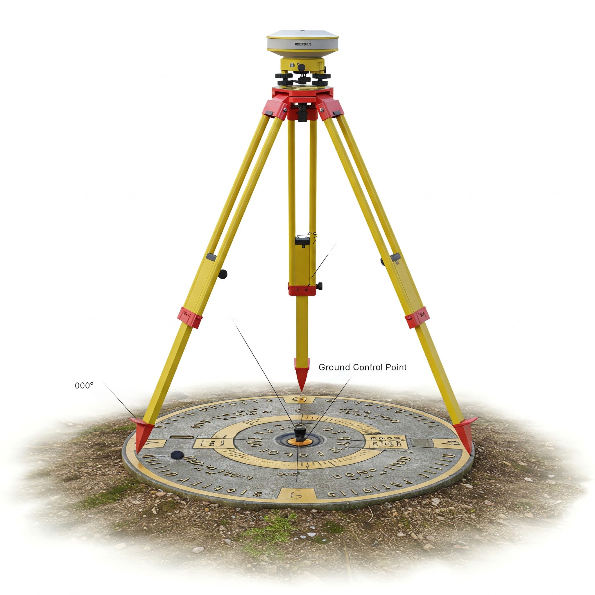
GCP Marking
Physical marking and monumentation of Ground Control Points across the site to anchor the drone imagery and survey data.
Step 3
Base Station Setup
Installation of the DGPS Base receiver on a known coordinate or prolonged static observation to establish localized high-accuracy corrections.

Step 4
Rover Walk & Survey
Systematic traversal with the DGPS Rover unit across GCPs and topographic features to capture RTK/PPK corrected coordinates.

Step 5
Raw Data Logging
Securely recording and storing satellite observations, ensuring signal health and geometry (PDOP) metrics meet engineering standards.

Step 6
Output Integration
Post-processing DGPS data and integrating it flawlessly with drone photogrammetry/LiDAR software for absolute global accuracy.
Frequently Asked Questions About DGPS Survey
Clear answers about service use cases, accuracy, deliverables, and mining project workflows.
DGPS survey uses differential positioning to improve coordinate accuracy for mining, mapping, and engineering work.
It supports accurate mapping, boundary definition, control point setup, and compliance-related documentation.
It is used for mine lease boundaries, subsidence monitoring, slope stability, and ground control surveys.
DGPS provides higher accuracy by correcting GPS errors using reference data.
Outputs can include coordinate sheets, control point details, maps, and compliance-ready reports.