Volumetric
Analysis
Volume Measurement Made Effortless.
Track and quantify stockpiles, overburden, and excavation progress accurately with drone-based photogrammetry and intelligent terrain analytics.
MINIMIZE FIELDWORK. MAXIMIZE ACCURACY.
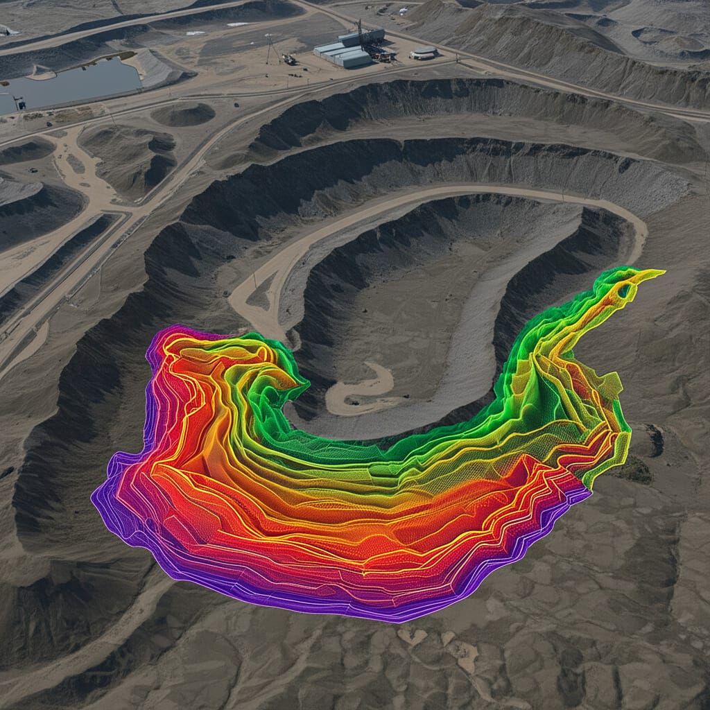
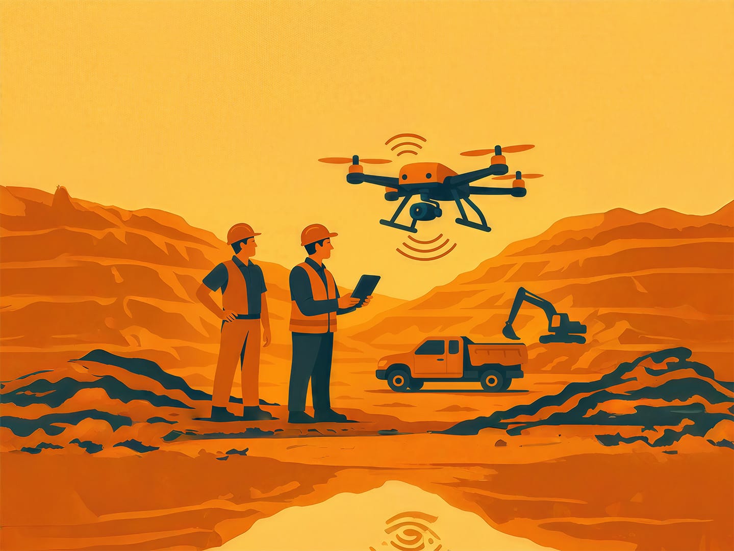
Drone-enabled volumetric analysis offers fast, safe, and highly accurate measurements of materials in mining and infrastructure sites.
Using advanced aerial photogrammetry, we create robust 3D terrain models and Digital Elevation Models (DEMs) to estimate volumes — drastically reducing operational risk and surveying time.
PRECISION INTELLIGENCE
Focus Areas
Advanced Volume Intelligence Across Mining Operations
Stockpile Inventory Tracking
Ensure seamless operations with regular, high-precision updates on material volumes. Essential for accurate logistics planning, contractor billing, and strict audit compliance.
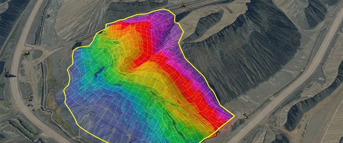
Overburden Volume Estimation
Conduct exact cut and fill analysis. Measure precisely how much waste material has been removed, or calculating the exact tonnage required for future excavation phases.
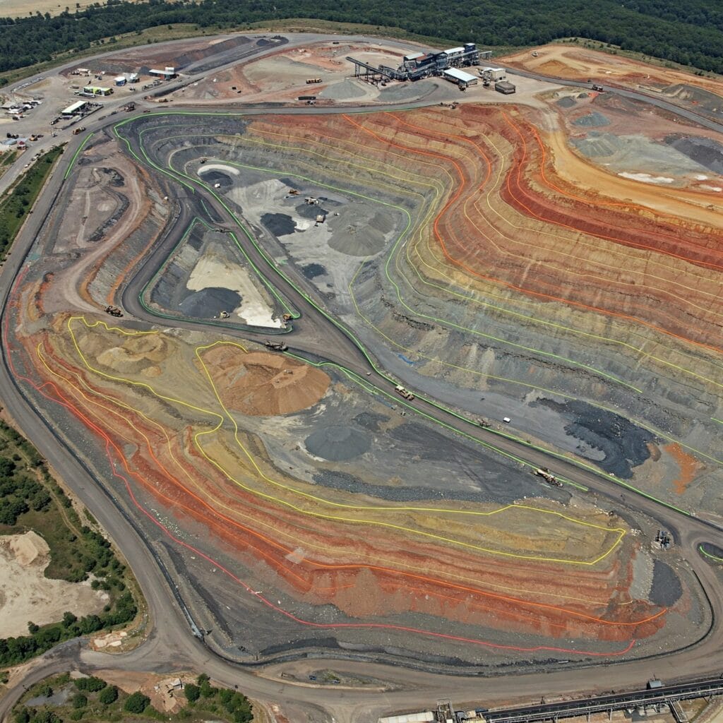
Dump Yard & Pit Progress Mapping
Monitor the fill progress of active waste dumps or calculate the continuous expansion of excavation pits in real-time, matching physical progress against mine plans.
OUTPUT DATA
Deliverables
Precision Volume Outputs for Smarter Decisions

Detailed Volume Calculation Reports
Comprehensive tabular reports detailing cut, fill, and net volumes for specific polygon regions. Formatted perfectly for invoicing and managerial review.
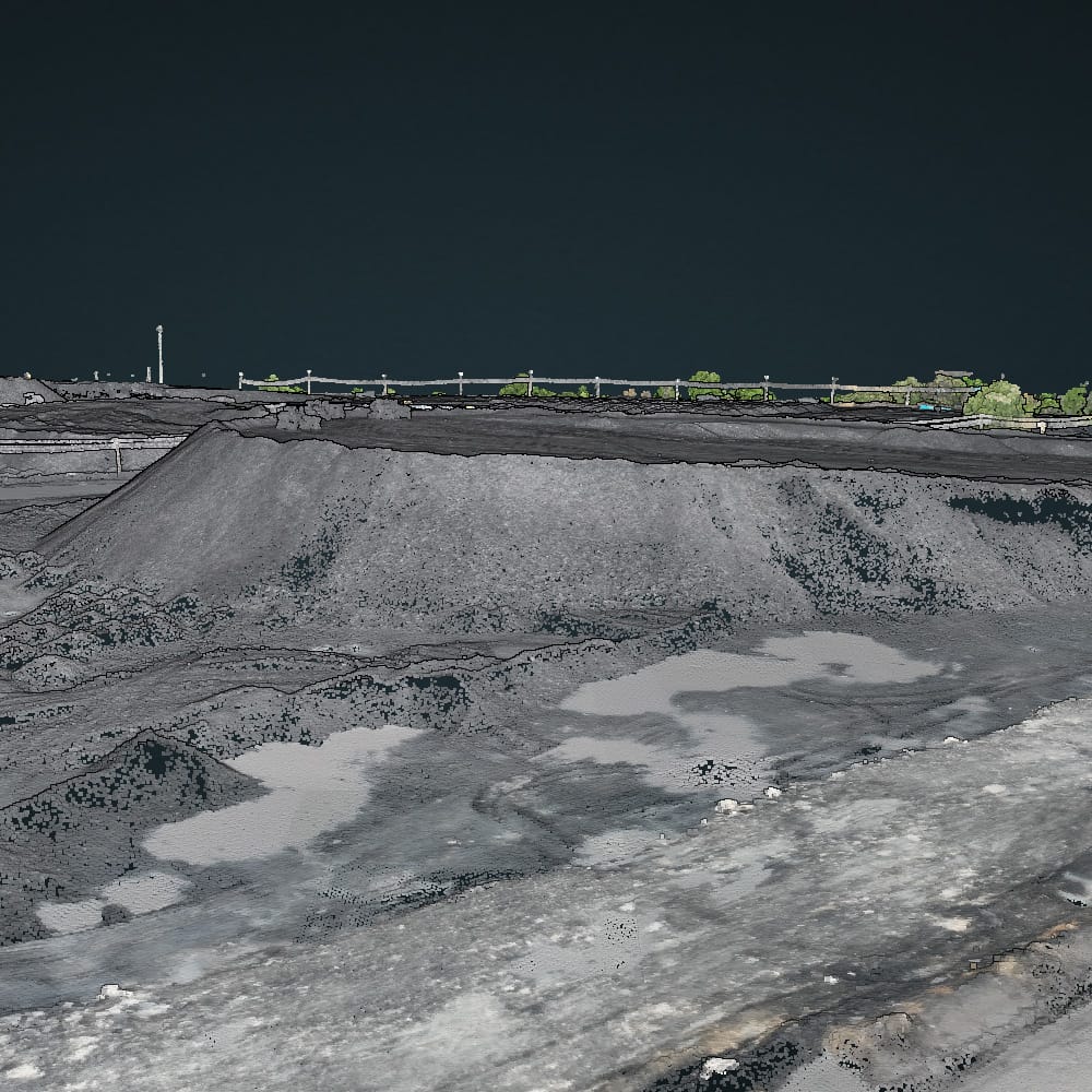
3D Stockpile & Terrain Models
Interactive Digital Elevation Models (DEM) and 3D textured meshes allowing your team to visually inspect and independently verify volumetric shapes.
Frequently Asked Questions About Volumetric Analysis
Clear answers about service use cases, accuracy, deliverables, and mining project workflows.
Volumetric analysis measures the volume of stockpiles, overburden, dumps, and excavation areas using drone data.
It helps with production planning, inventory tracking, billing, and cut-and-fill calculations.
It can provide highly accurate results when based on good survey data and proper processing methods.
Stockpiles, dump yards, pit progression, overburden movement, and excavation volumes can all be measured.
You may receive volume calculation reports, 3D models, contour maps, and measurement summaries.
Get Accurate Volume
Reports Now
Get in touch today and book your professional volumetric analysis solution with Droid Mining Solutions. Digitize your terrain, quantify your progress.
GET IN TOUCH