Drone Survey
Survey smarter with drones.
Get rapid, reliable, and georeferenced data with 2D & 3D outputs – serving mines, coal, and infrastructure.

High Precision Target
Scanning Active
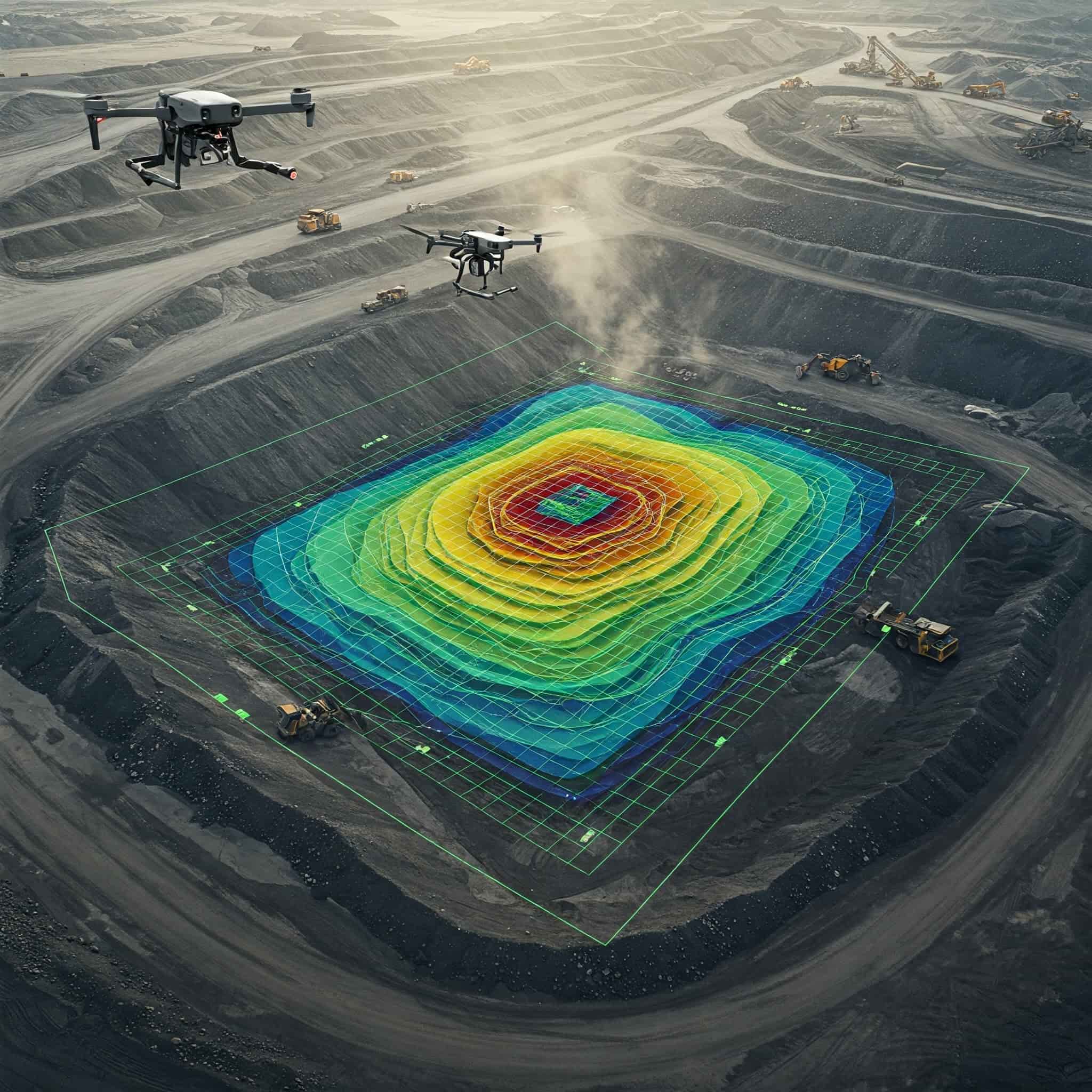
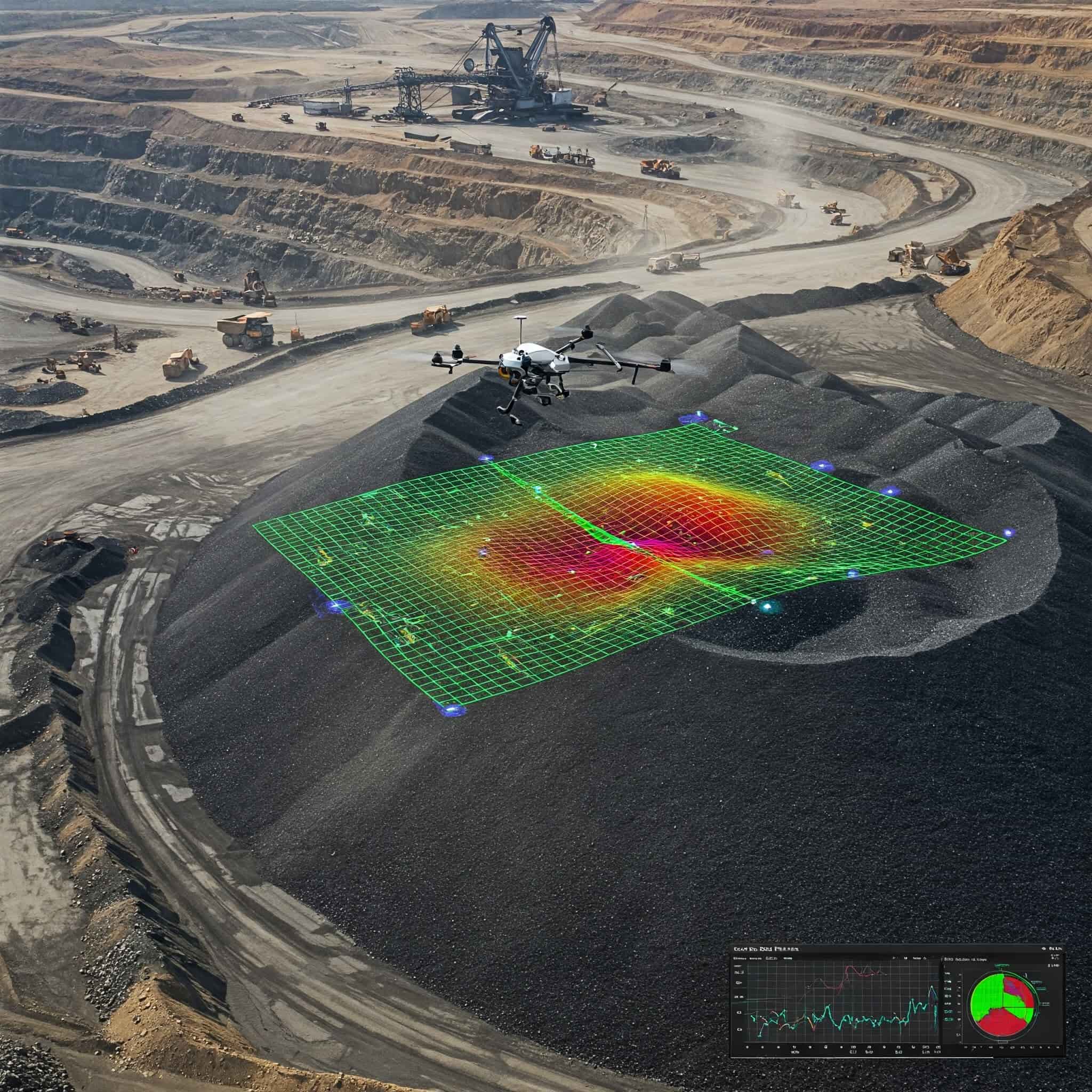
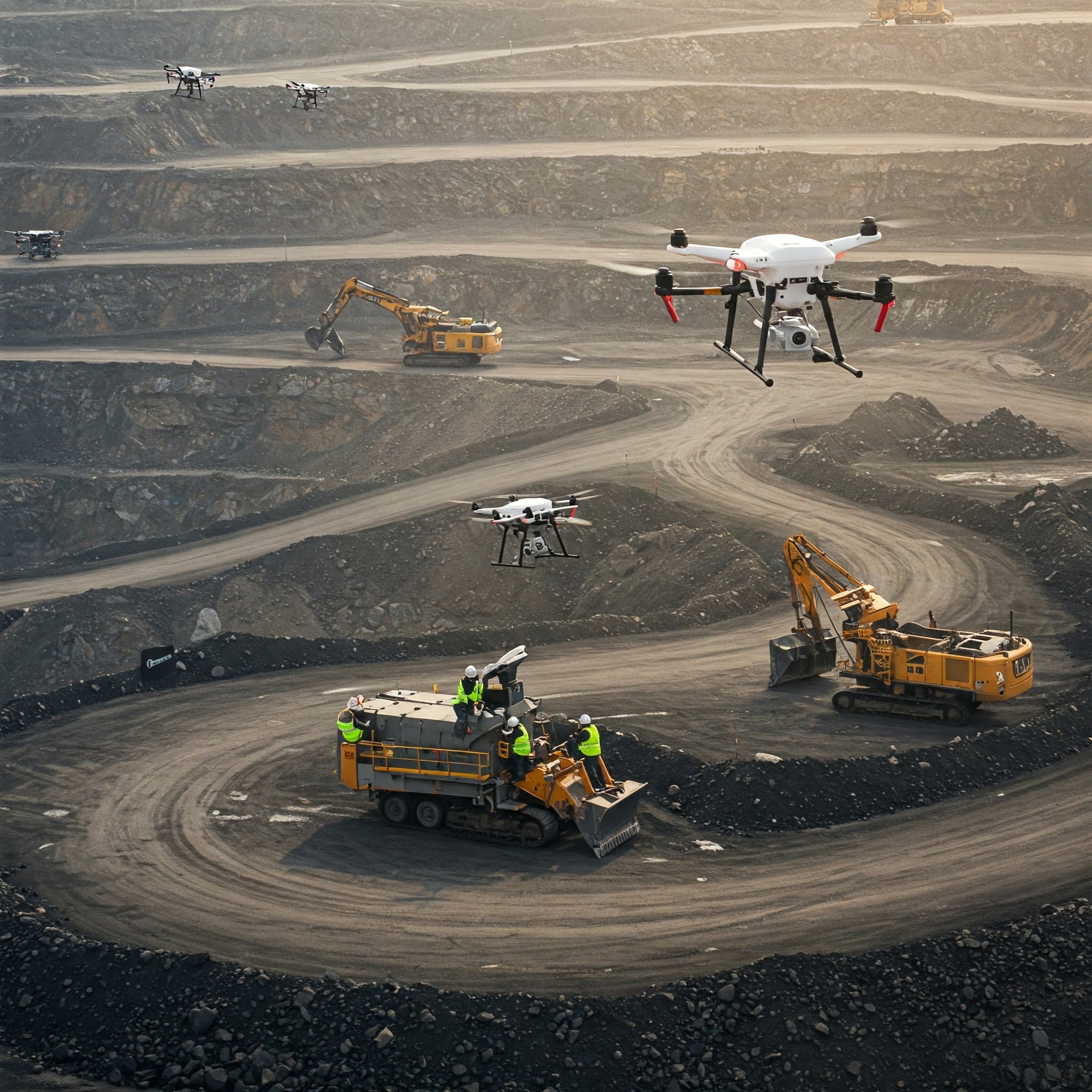
Next-Level Surveying Starts from the Sky
Revolutionizing how terrain and infrastructure are analyzed, our drone surveys offer unparalleled detail, mitigating risks while accelerating project timelines.
- High Accuracy
- Faster Turnaround Time
- Safer Operations
- Comprehensive Outputs
- Cost Effective
- Versatile Applications
- Digital & Shareable Reports
Our Drone Services
Tailored aerial solutions for every industrial need
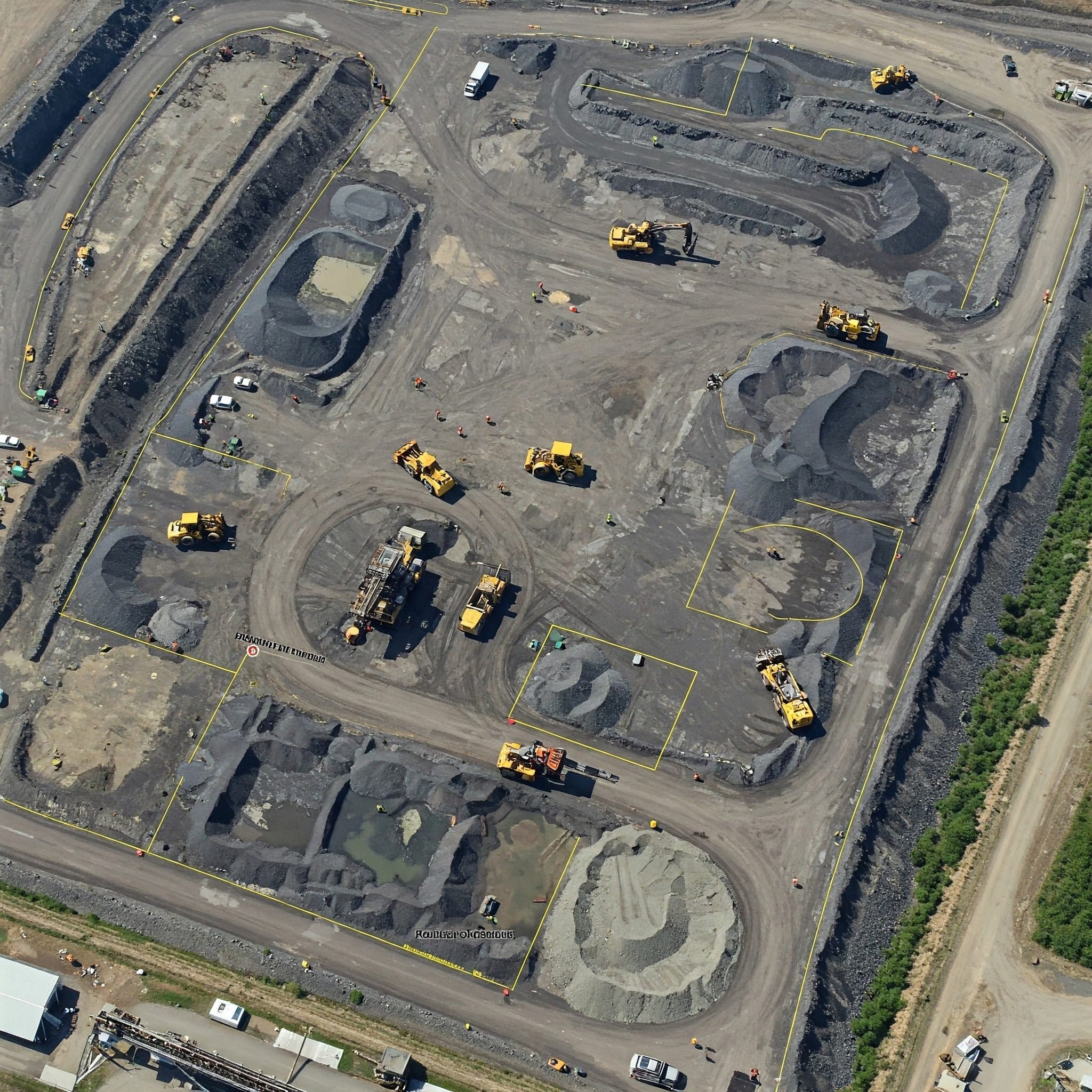
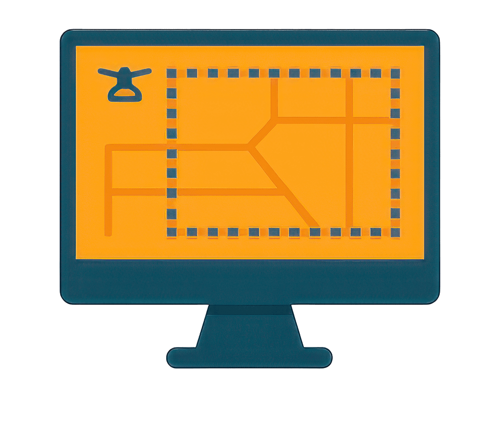
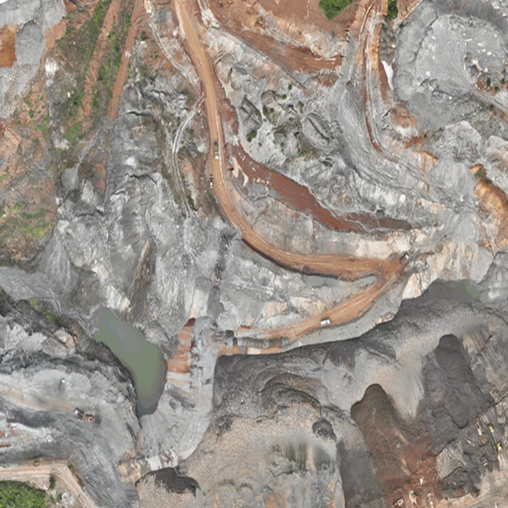
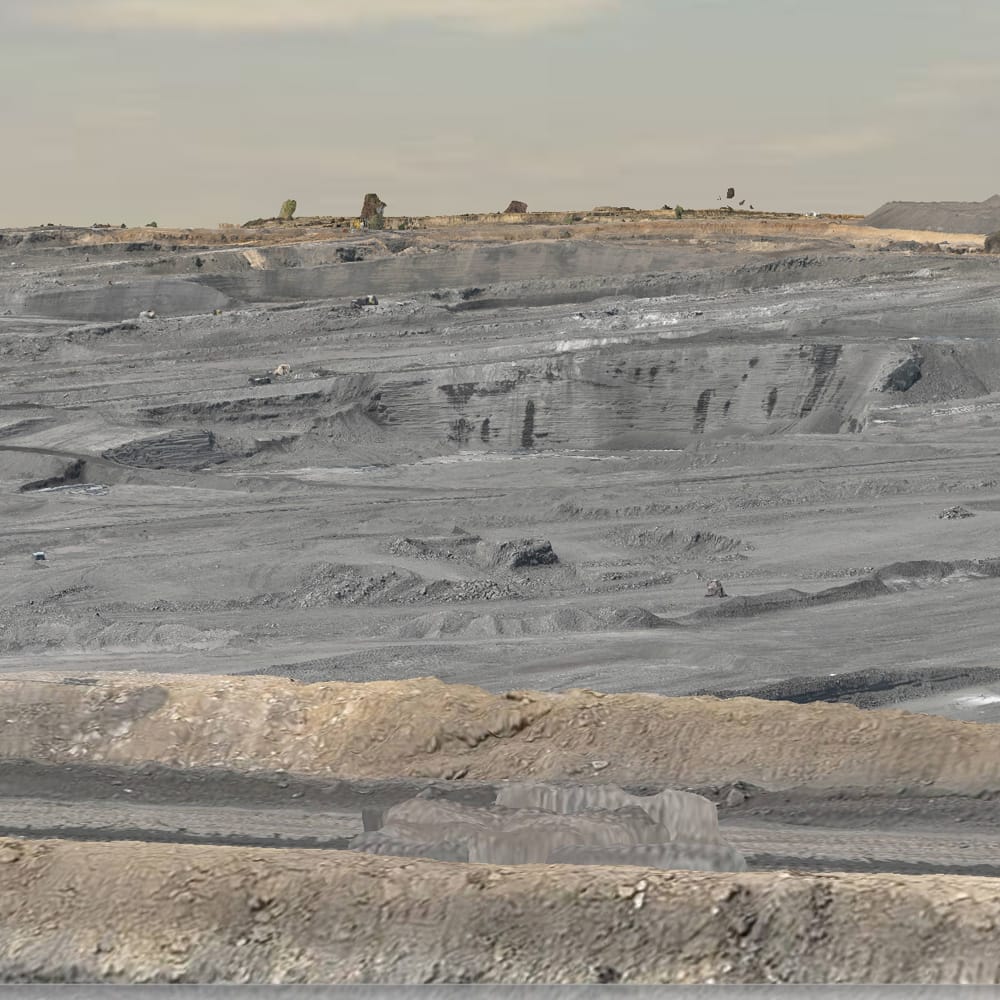
Drone-based Aerial Survey
Capture vast areas with extreme detail, producing high-resolution orthomosaics and topographical data for planning and design.
Drone Monitoring & Surveillance
Keep a continuous eye on active mining sites and secure infrastructure with real-time aerial surveillance operations.
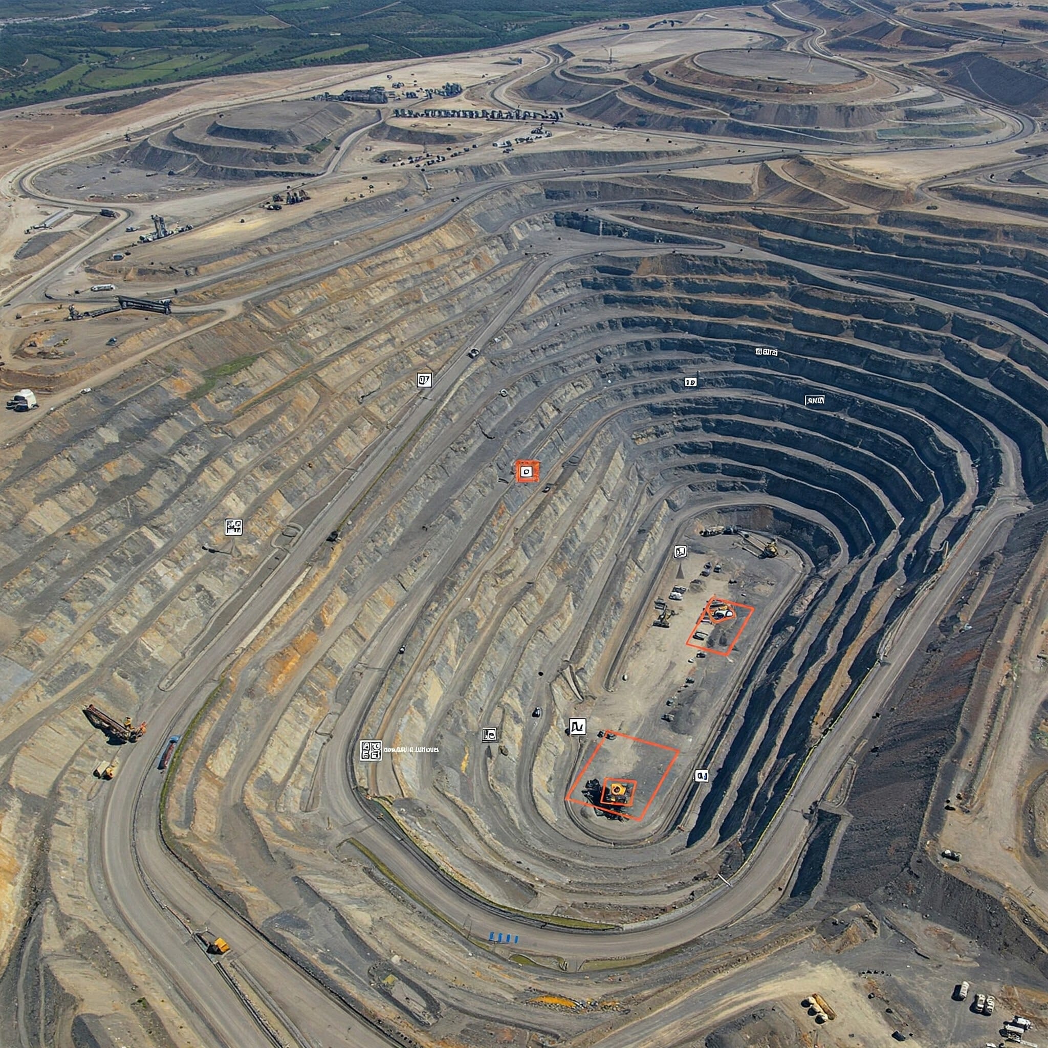
Drone-based Inspection
Safely inspect hazardous areas, vertical structures, and hard-to-reach equipment without putting human lives at risk.
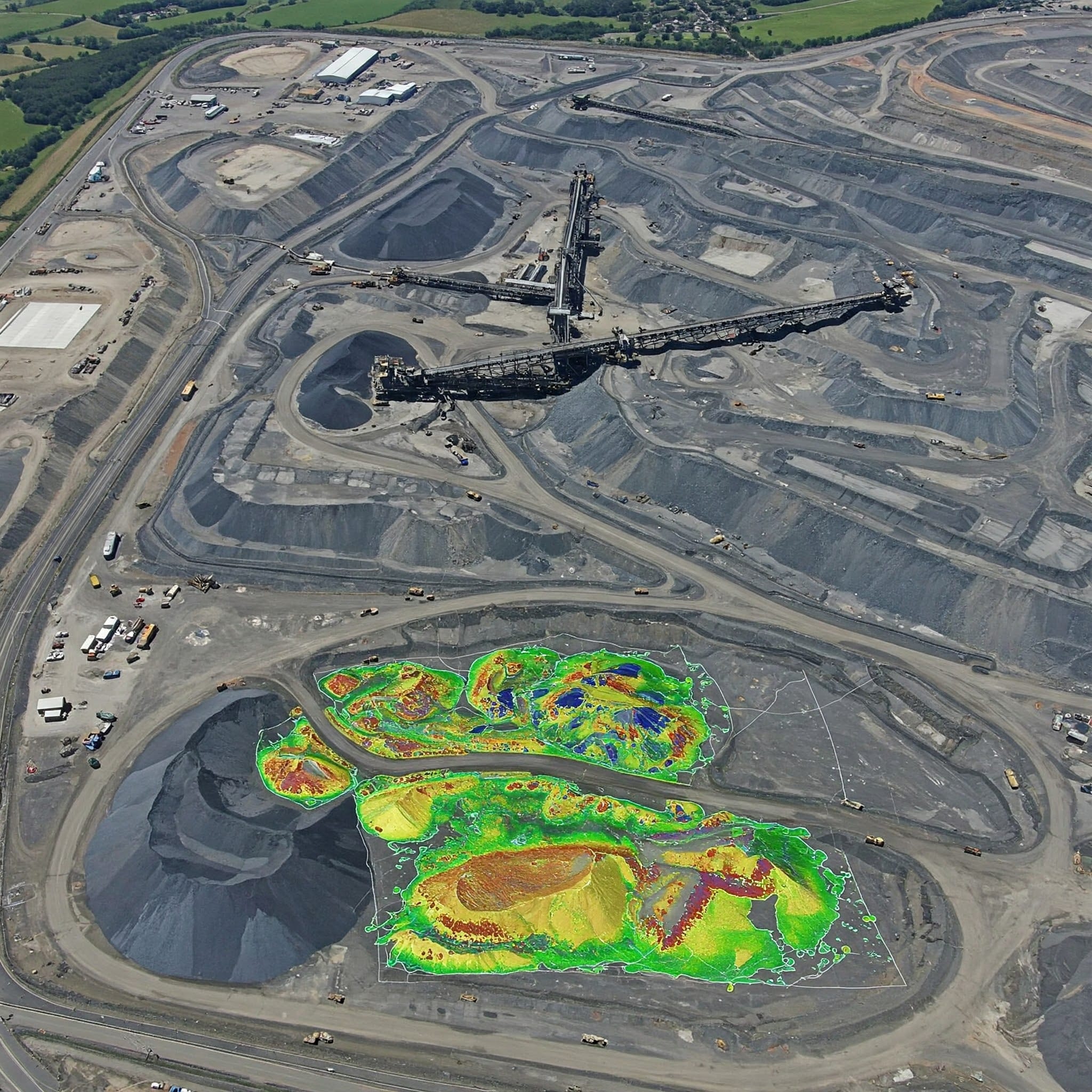
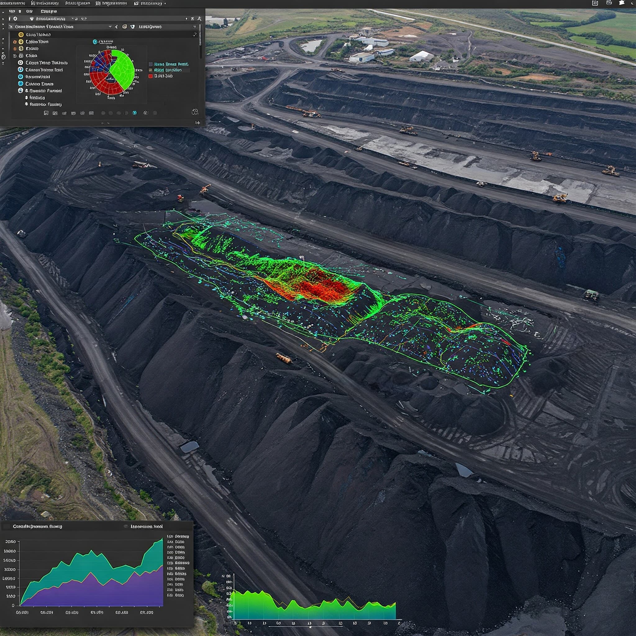
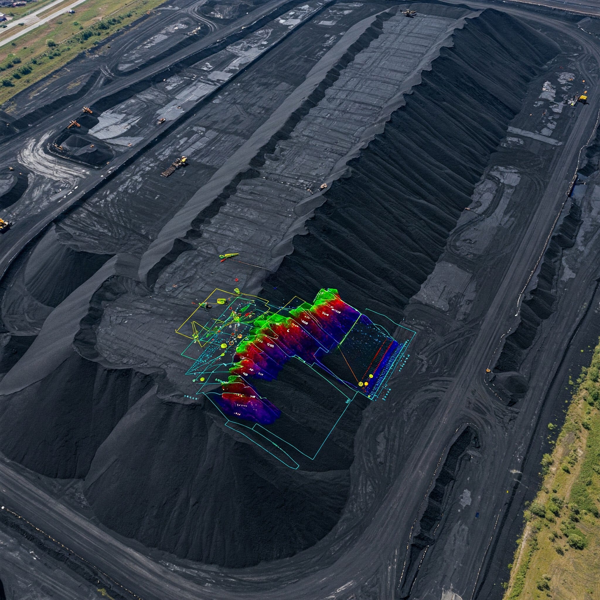
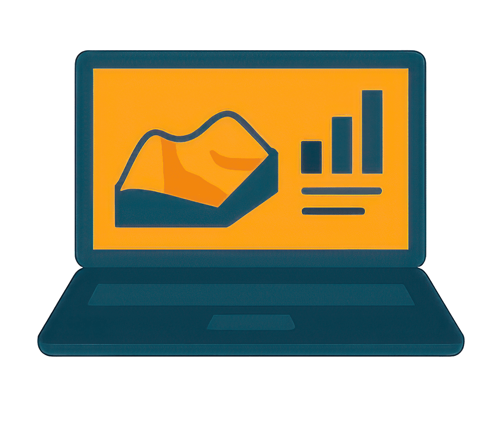
Volumetric Analysis
Calculate exact volumes of stockpiles and extraction pits quickly using high-density 3D point cloud models.
Our Workflow
“A seamless, precision-driven journey from planning to final deliverables.”

Step 1
Site Visit
Analyzing terrain, identifying hazards, and establishing ground control points before the mission begins.
Step 2
Flight Planning
Programming automated flight paths with optimal overlap, altitude, and sensor configurations for perfect data capture.
Step 3
Data Capture
Executing the autonomous flight while monitoring telemetry and ensuring high-resolution imagery and LiDAR data collection.
Step 4
Processing
Running raw data through advanced photogrammetry software to stitch images and generate accurate 3D spatial models.
Step 5
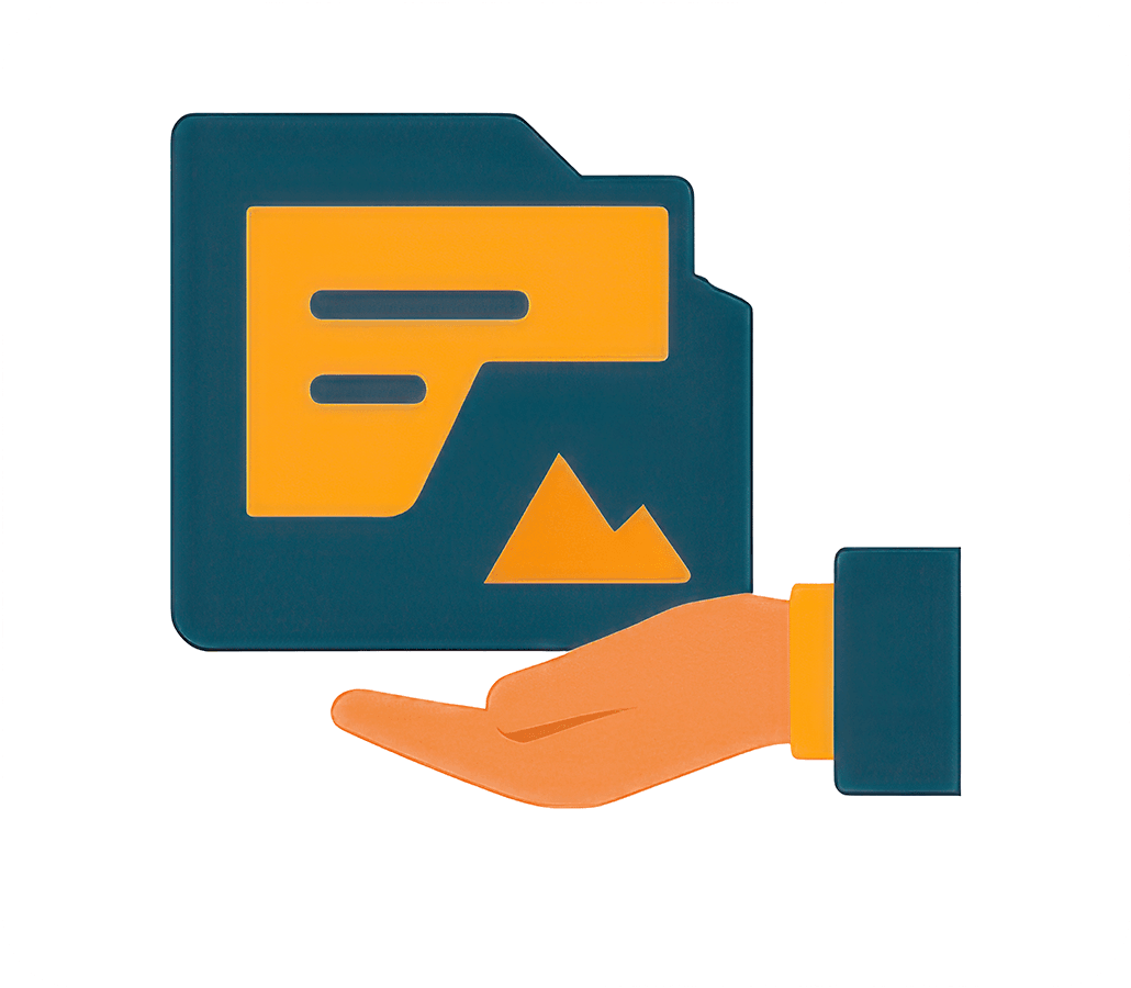
Output Delivery
Providing actionable insights through highly accurate CAD-ready files, DEMs, contours, and comprehensive reports.
Our Deliverables
Actionable data formats for every engineering need
Orthomosaic
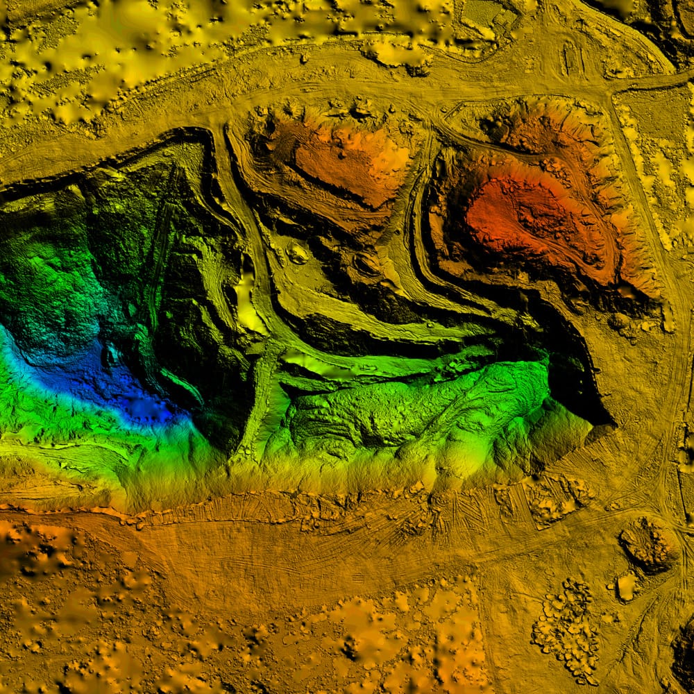
DEM
3D Mesh
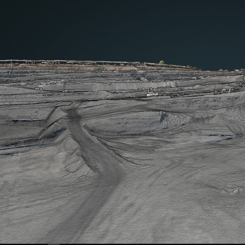
Point Cloud
Contour
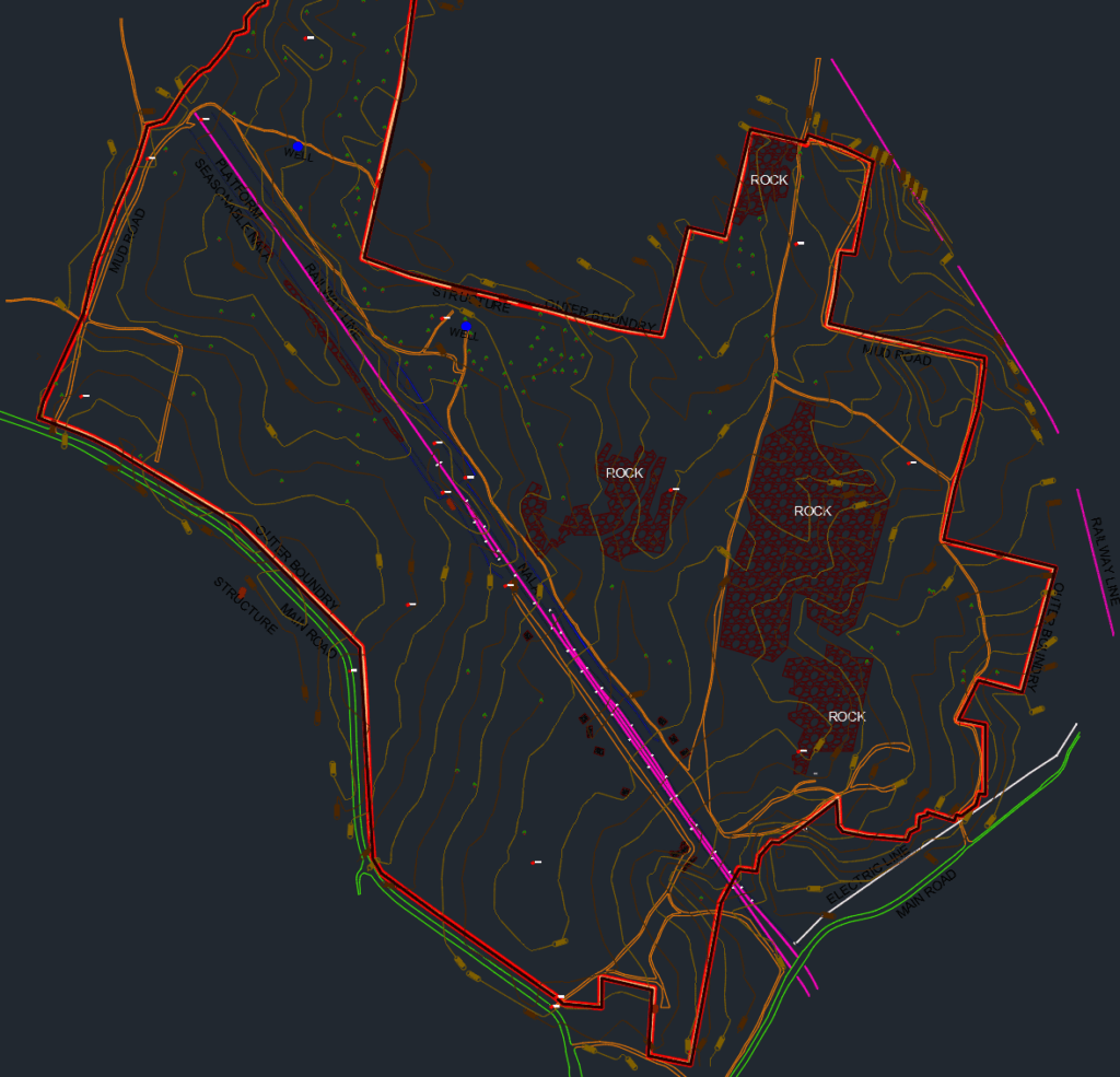
Digitize
Frequently Asked Questions About Drone Survey Services
Everything you need to know about drone surveying, aerial mapping, mining data accuracy, and deliverables.
Drone surveying uses aerial drones equipped with RTK/GNSS systems and photogrammetry technology to capture highly accurate mine site data, terrain models, orthomosaics, and volumetric measurements safely and efficiently.
Drone surveys can achieve centimeter-level accuracy when combined with RTK/PPK positioning systems and properly placed ground control points.
Deliverables may include orthomosaic maps, DEM/DTM models, contour maps, point clouds, 3D meshes, stockpile volumes, and GIS-ready outputs perfectly formatted for engineering software.
Drone surveys reduce field time, improve safety in hazardous mining zones, provide faster data collection, and generate highly detailed aerial insights over large areas that walk-based surveys simply cannot match.
Yes. Drone photogrammetry is widely used for stockpile measurement, cut-and-fill analysis, overburden calculations, and continuous excavation monitoring.
Drone survey services are commonly used in mining, infrastructure, construction, land development, environmental monitoring, and specialized industrial inspection projects.
Want to Elevate Your
Project with Drones?
Get in touch today and book your professional survey with us now!
GET IN TOUCH