Ground Penetrating
Radar (GPR)
See What Lies Beneath — Without Digging.
Advanced subsurface radar intelligence for detecting underground utilities, hidden voids, seepage zones, and geological anomalies with precision and safety.
NON-INVASIVE GEOLOGICAL INTELLIGENCE
Detect underground utilities, voids, seepage & anomalies — fast, safe, and precise.
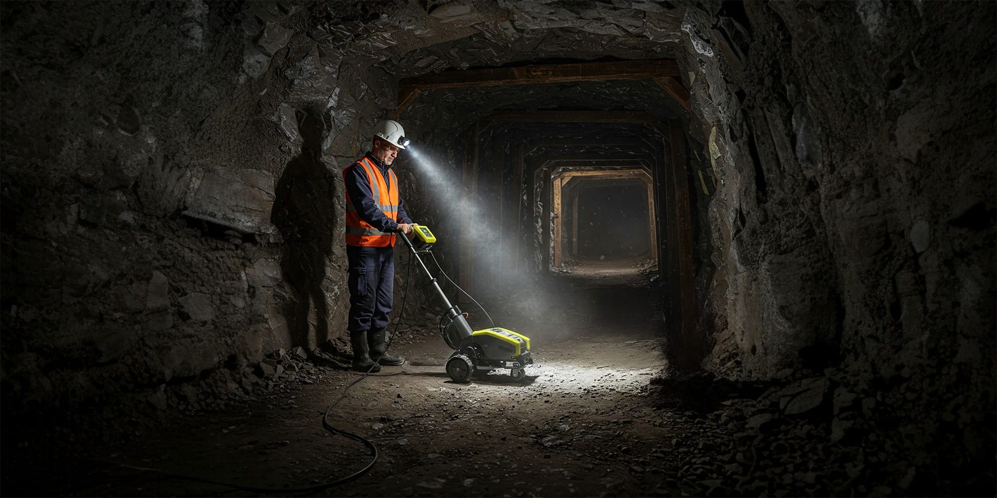
Ground Penetrating Radar (GPR) is a cutting-edge geophysical method that uses high-frequency radar pulses to map subsurface features without any physical excavation. It is the ideal technology for mining and complex infrastructure zones where hidden voids, unmapped buried utilities, or moisture intrusion pose critical safety and operational risks.
THE DROID ADVANTAGE
Why Choose
Us?
Industry-Grade GPR Expertise combined with deep Mining Know-How.
Certified GPR Technicians
Our operations are executed by highly trained specialists who know how to interpret complex radargrams accurately in the field.
Mining-Focused Applications
We tailor our scanning frequencies and methodologies specifically to the harsh terrains and unique challenges of active mine sites.
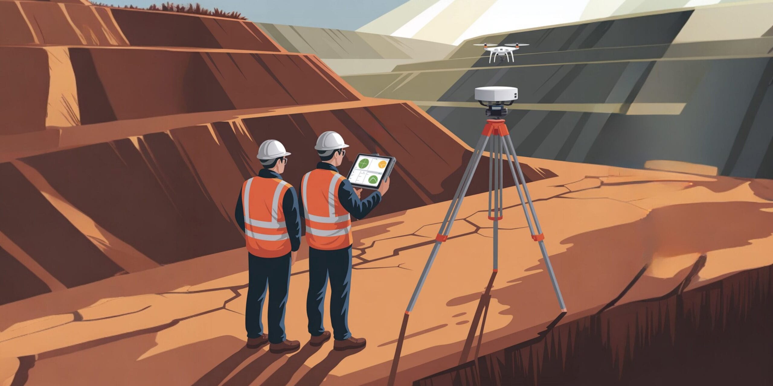
GIS & Mine Plan Integration
Detected utilities and anomalies are accurately GPS-tagged and delivered in formats ready to overlay onto your existing mine plans.
Fast Turnaround
Immediate on-site preliminary markouts followed by rapid post-processing ensures your excavation or drilling isn’t delayed.
SCIENTIFIC DASHBOARD
Use Cases
Void Detection
Identify underground cavities and sinkholes that may cause catastrophic collapse before heavy machinery passes over.
Water Seepage Mapping
Detect hidden moisture zones or seep lines within highwalls and tailings dams threatening structural stability.
Utility Location
Precisely locate buried pipelines, live electric cables, or old drainage channels to prevent dangerous line strikes.
Foundation & Backfill Inspection
Ensure proper compaction and structural soundness of new foundations or rehabilitated backfill areas.
DATA OUTPUTS
Deliverables
Not Just Scans — Clear, Decision-Making Data.
Radargrams
Detailed 2D cross-sectional profiles (B-scans) showing raw hyperbolic reflections of subsurface anomalies.
Subsurface Layer Maps
Processed 3D depth slices (C-scans) illustrating the spatial layout of distinct geological or structural horizons.
Utility Mapping
CAD-ready export files plotting the exact coordinates and depth estimations of all detected utility lines.
Moisture & Void Reports
Annotated technical reports highlighting zones of high dielectric permittivity indicative of water pooling or air gaps.
Frequently Asked Questions About Ground Penetrating Radar (GPR)
Clear answers about service use cases, accuracy, deliverables, and mining project workflows.
GPR is used to detect underground utilities, voids, seepage, and hidden structures without excavation.
It helps identify underground risks that could affect safety, planning, or structural stability.
Yes. It is commonly used to locate moisture zones and seepage paths underground.
Yes. GPR is a non-invasive scanning method that does not require digging.
Deliverables can include radargrams, subsurface maps, utility mapping, and void reports.
Know the Ground You’re Working On
— Before It Costs You.
Get in touch today and book your professional GPR survey with Droid Mining Solutions. Uncover the hidden layers beneath your site.
GET IN TOUCH