Geophysical
Prospecting Tools
Map Magnetic Signatures. Identify Hidden Mineral Zones.
Advanced drone-based magnetometry solutions for rapid, non-invasive mineral exploration, structural interpretation, and deep subsurface geological intelligence.
EXPLORATION WITHOUT EXCAVATION
Geophysical intelligence for deeper, faster, and highly accurate mineral exploration targeting.
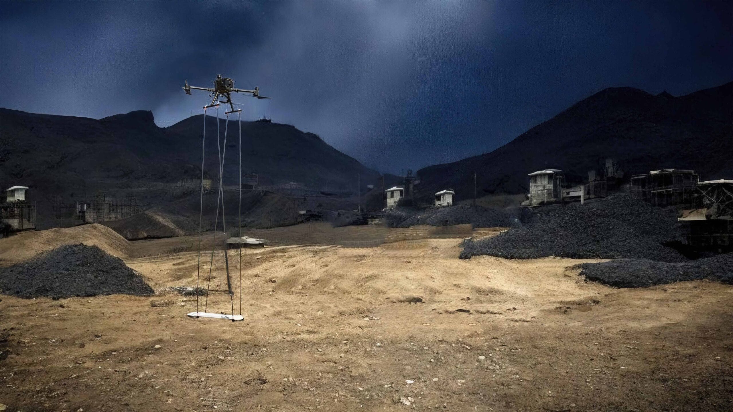
Drone-based magnetometry detects subtle variations in the Earth’s magnetic field caused by subsurface mineral formations. This non-invasive, high-resolution method is ideal for exploring rugged terrains, enabling precise identification of magnetic anomalies linked to iron, teal, and base metals — entirely without touching the ground.

AERIAL ADVANTAGE
Why Use
Magnetometry?
Transforming massive tracks of unexplored terrain into highly targeted drilling zones in record time.
5x Faster Acquisition
Dramatically outpaces traditional walk-based surveys, covering massive concessions rapidly while maintaining high-density data resolution.
Significantly Safer
Removes personnel from hazardous environments. Especially critical for exploring remote, unstable, or densely vegetated terrains.
Zero Ground Disturbance
No need for line clearing, deforestation, or environmental disruption. Complete your initial exploration phase with zero ecological impact.
Highly Cost-Effective
Optimize your exploration budget. By scaling data capture over large areas, the cost per line kilometer plummets compared to ground crews.
MINERAL TARGETING
Use Cases
Iron Ore Prospecting
Direct detection of magnetic highs intrinsically linked to massive ore bodies.
teal & Base Metals
Identify crucial hydrothermal alteration zones and structurally associated deposits.
Structural Geology Mapping
Accurately map hidden dykes, geological faults, shear zones, and tectonic folds.
Depth to Bedrock
Infer geological layering and estimate overburden depths prior to drilling.
Dense Vegetation Exploration
Access difficult, jungle, or hilly terrain seamlessly using aerial magnetometry systems.
ANALYTICAL EXPORTS
Deliverables
Data-rich visualizations for instant interpretation and decision-making.
3D Magnetic Profiles
High-resolution 3D inversion models allowing geologists to visualize anomaly depth, shape, and structure in three dimensions.
Raw & Processed Data
Cleaned, diurnally corrected, and leveled magnetic datasets (RTP, TMI, Analytical Signal) ready for advanced proprietary modelling.
GIS Compatible
Fully geo-referenced contours, heatmaps, and vectors exported in standard CAD and GIS formats for seamless integration.
Frequently Asked Questions About Geophysical Prospecting Tools
Clear answers about service use cases, accuracy, deliverables, and mining project workflows.
They are used to detect subsurface anomalies and identify zones that may contain minerals.
Magnetometry measures magnetic variations that can indicate hidden geological structures or ore bodies.
It provides deeper insight into what lies below the surface without disturbing the ground.
Targets may include iron ore, faults, dykes, base metals, and structural geological zones.
Outputs can include magnetic profiles, anomaly maps, interpretation data, and GIS-ready layers.
Quick Turnaround. Scalable Data.
Accurate Targets.
Get in touch today and book your professional geophysical prospecting survey with Droid Mining Solutions. Target the unseen.
GET IN TOUCH