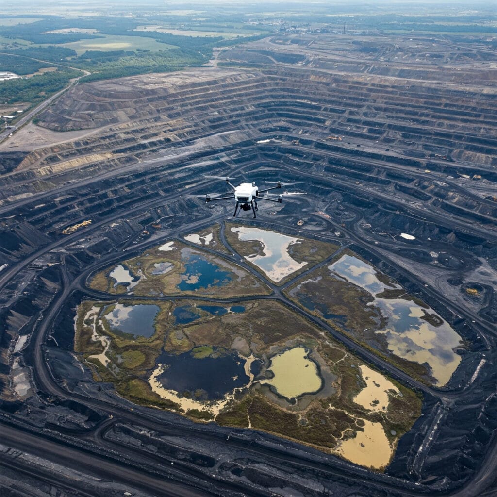
Drone Based
Aerial Survey
Survey Smarter with Cutting-Edge Drone Technology.
Capture high-resolution, geo-referenced aerial data faster and more accurately with advanced drone technology tailored for mining and infrastructure projects.
SMART AERIAL MAPPING
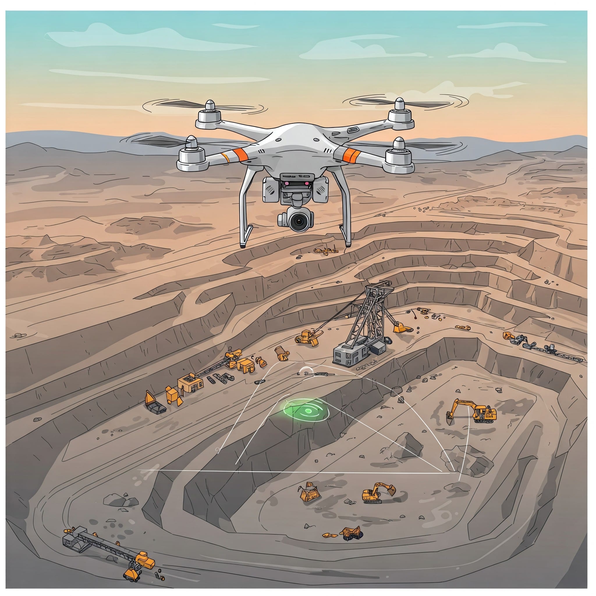
Our drone-based aerial surveys provide precise topographical data, enabling faster and safer data acquisition compared to traditional methods. By combining GPS, RTK, and advanced photogrammetry, we deliver centimeter-level accuracy for mine planning and infrastructure mapping.

Reduced Field Time
Cover thousands of hectares in a fraction of the time compared to terrestrial surveying.

Accurate Planning
Ensure regulatory alignment and optimal mine design with high-fidelity spatial data.

High-Resolution Data
Generate crisp orthomosaics and 3D models with centimeter-level GSD precision.

Enhanced Safety
Keep personnel away from active heavy machinery, highwalls, and hazardous zones.
INDUSTRY FOCUS
Applications
Our drone aerial surveys support a wide range of mining operations.
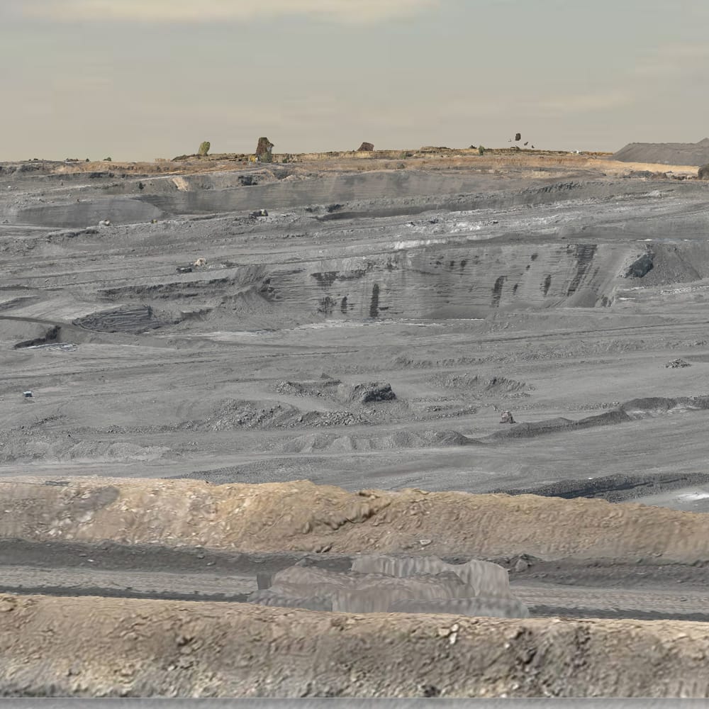
Mine Lease & Boundary Mapping
Precisely define mine lease areas with drone-enabled accuracy for legal and planning compliance. Ensure your operations stay strictly within sanctioned perimeters.
Environmental Monitoring
Track vegetation, water bodies, and ecological changes from the sky for safeguarded sustainability initiatives and regulatory environmental reporting.
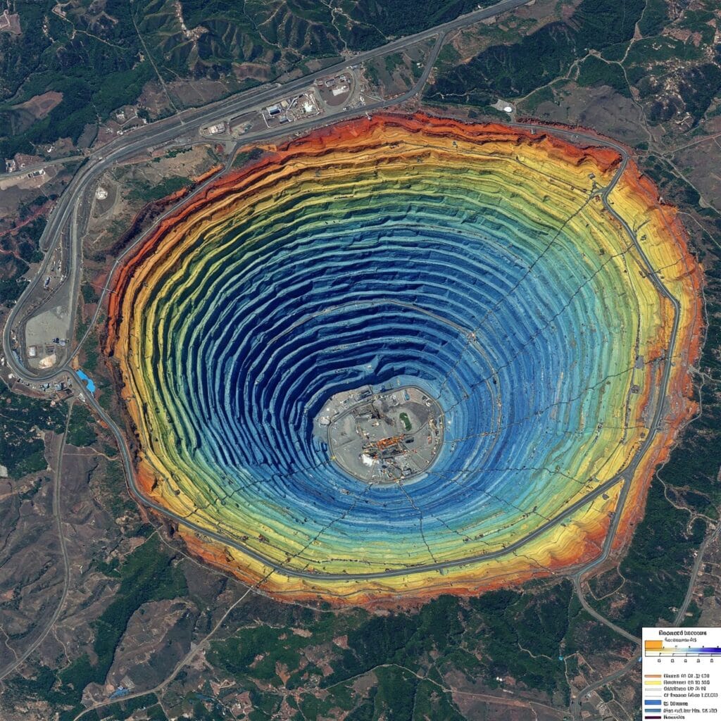
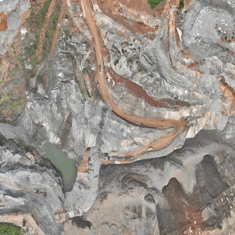
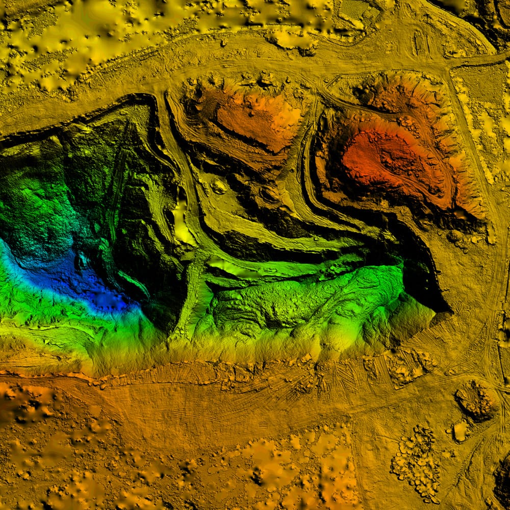
Topographic Mapping for Mine Planning
Get detailed terrain contours, DSM/DTM, and elevation data to optimize mine layout, haul road design, and general infrastructure placement.
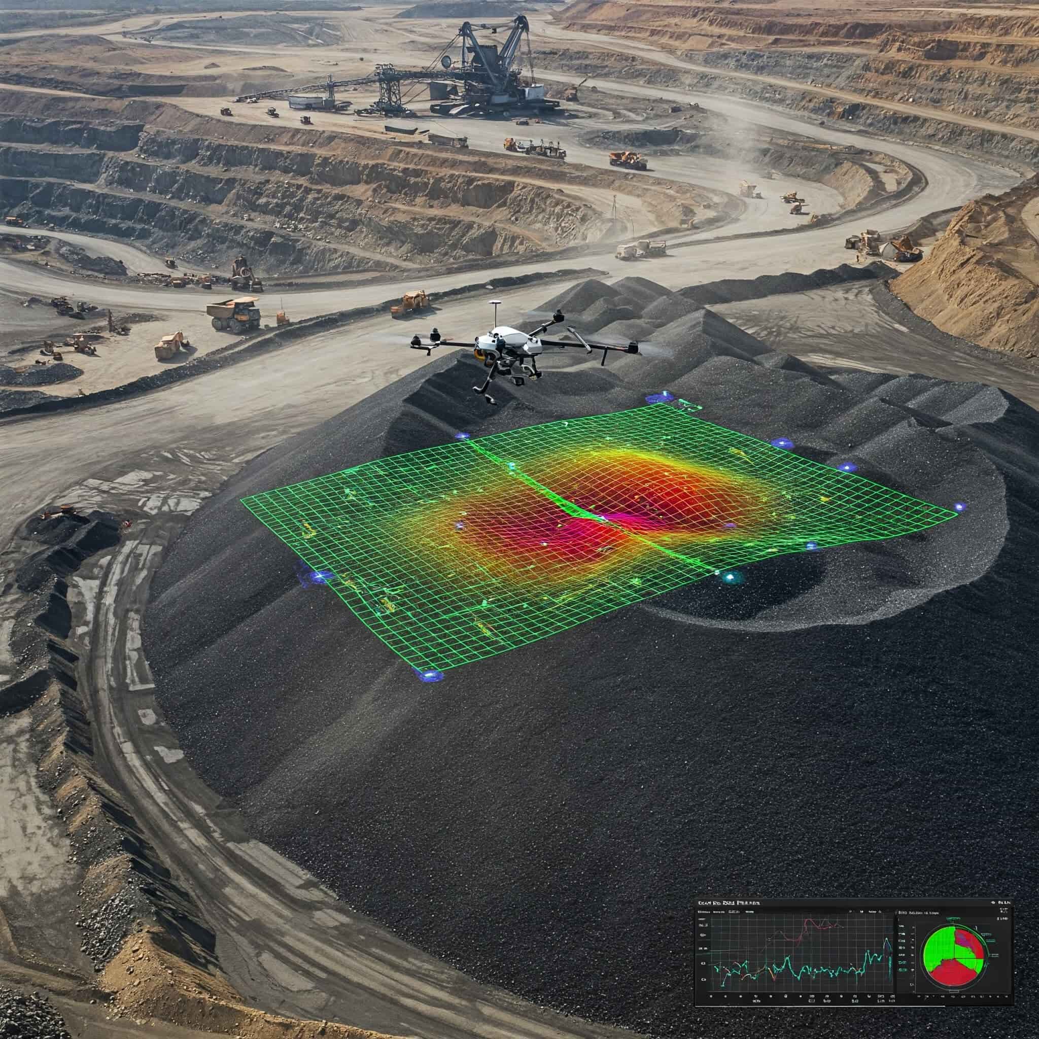
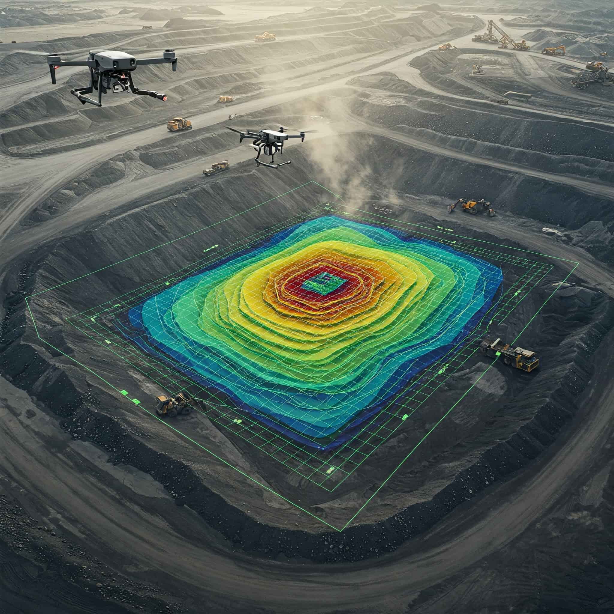
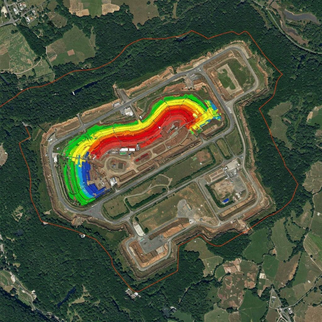
Volume Estimation & Cut-Fill Analysis
Accurately measure stockpile dumps and excavation volumes essential for project costing, inventory management, and operational planning.
OUTPUT DATA
Deliverables
From field data to post-processing, here’s how we deliver sub-centimeter accuracy.
Orthomosaic
High-res, distortion-free aerial maps.
DEM / DTM
Digital Elevation & Terrain Models.
3D Mesh
Textured 3D surface representations.
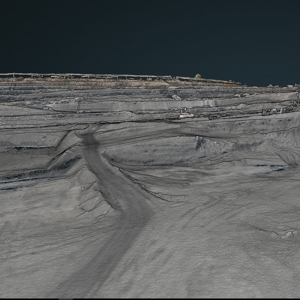
3D Point Cloud
Millions of accurate data points.
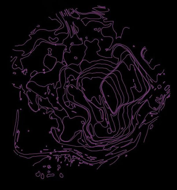
Contour Lines
Topographical elevation intervals.
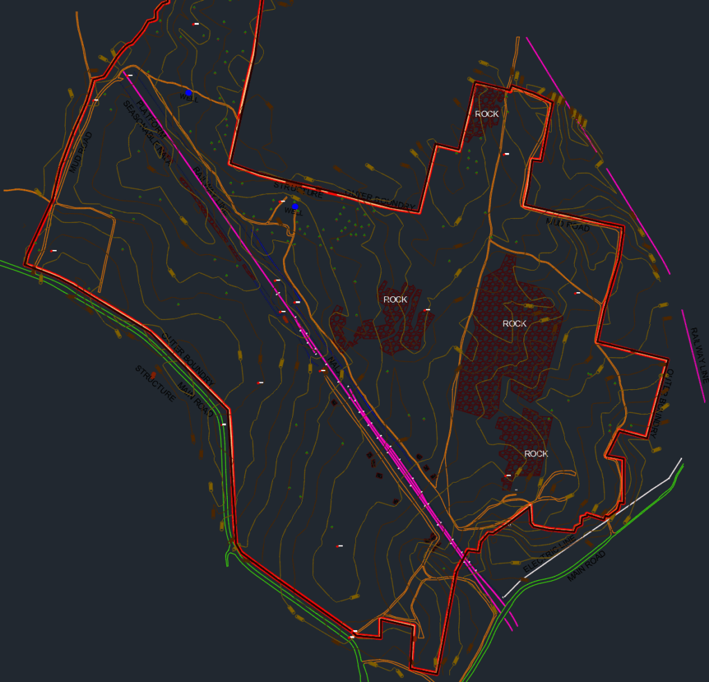
Digitize AutoCAD Drawing
Ready-to-use vector CAD files.
Frequently Asked Questions About Drone Based Aerial Survey
Clear answers about service use cases, accuracy, deliverables, and mining project workflows.
It is an aerial mapping service that uses drones to capture georeferenced images and elevation data from above the site.
With RTK/PPK and proper control points, drone based aerial survey can deliver survey-grade accuracy for many mining applications.
It is used for topographic mapping, progress tracking, stockpile measurement, boundary mapping, and site documentation.
It reduces field time, improves safety, and provides faster results over large mining and industrial areas.
You can receive orthomosaics, elevation models, contours, point clouds, and GIS-ready files.

Request a Drone
Survey Today
Get in touch today and book your professional aerial drone survey with Droid Mining Solutions. Capture the complete picture from above.
GET IN TOUCH