SUBSIDENCE
MONITORING
Detect Ground Movement. Maintain Compliance. Ensure Safety.
High-precision DGPS-based subsidence monitoring solutions for underground mining operations, infrastructure safety, and IBM-compliant deformation analysis.
UNDERSTANDING SURFACE DISPLACEMENT
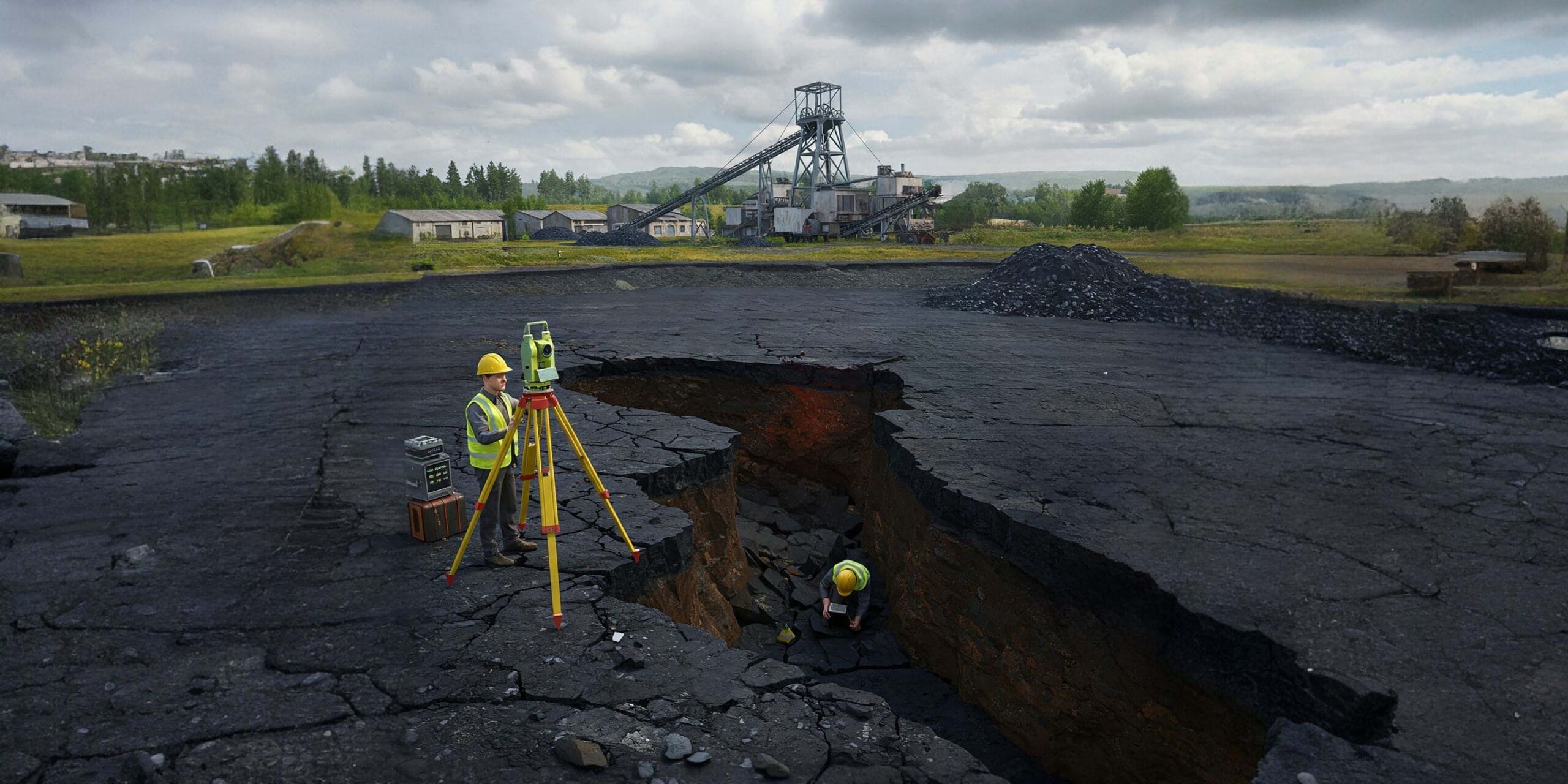
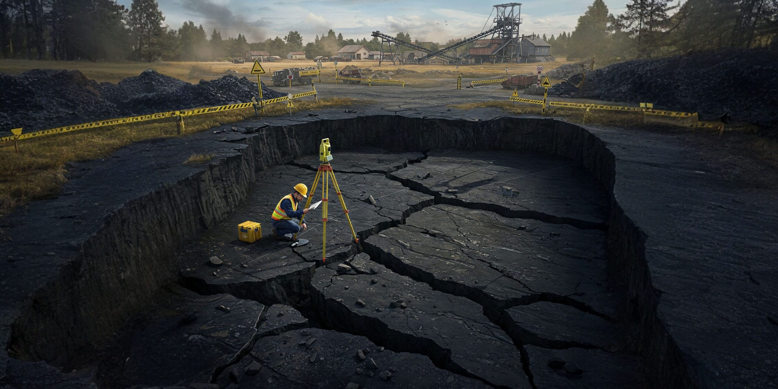
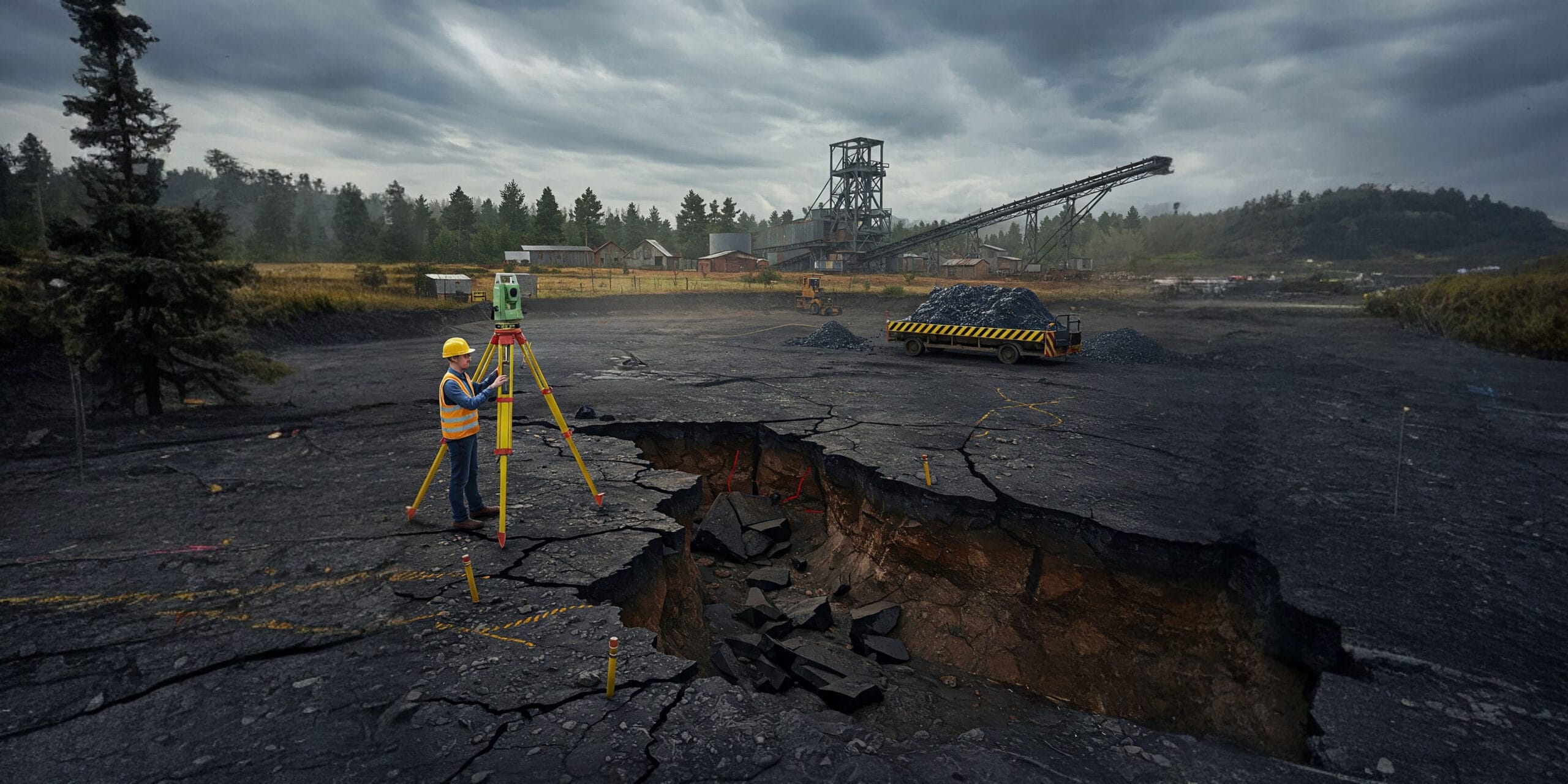
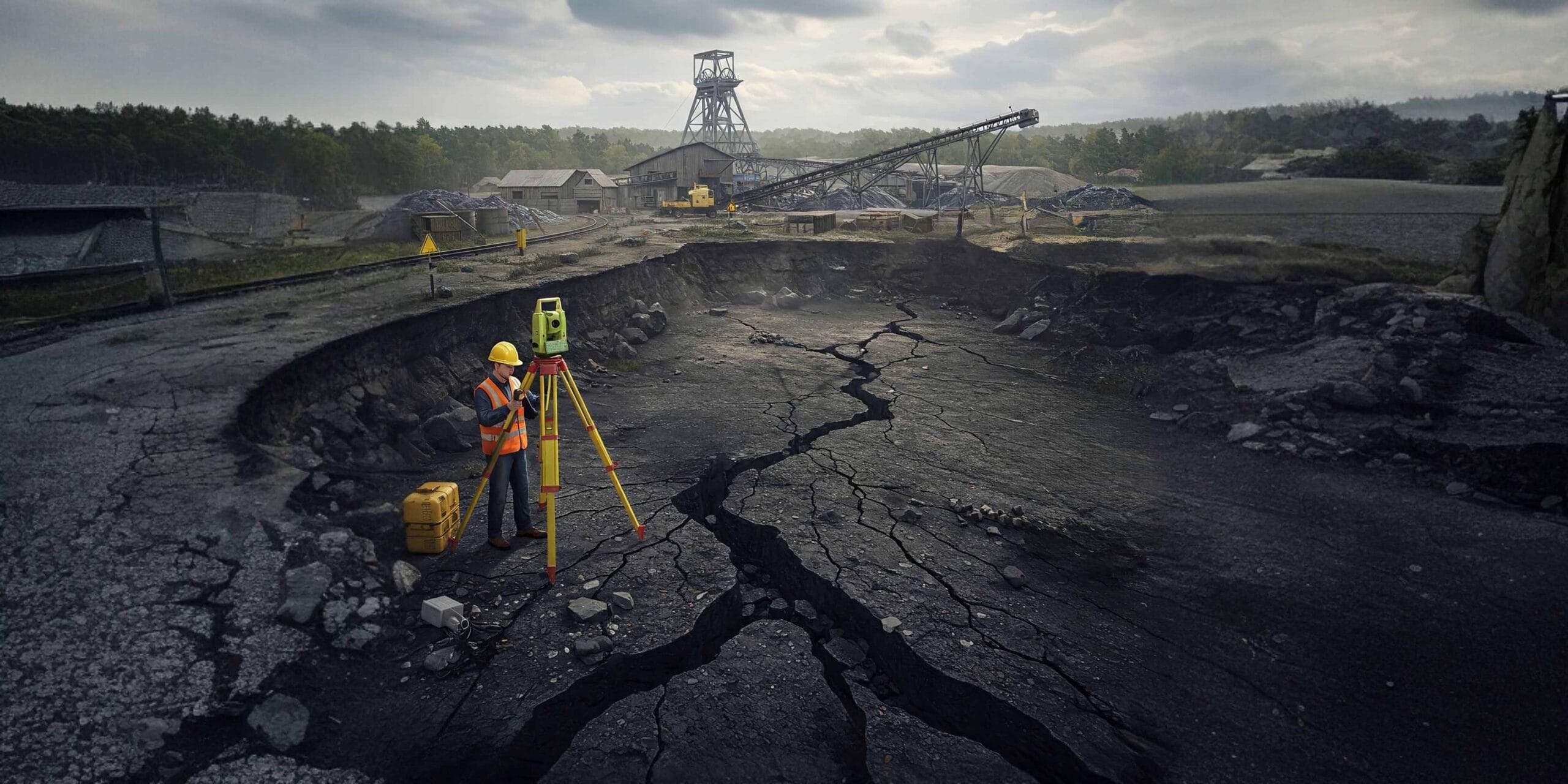
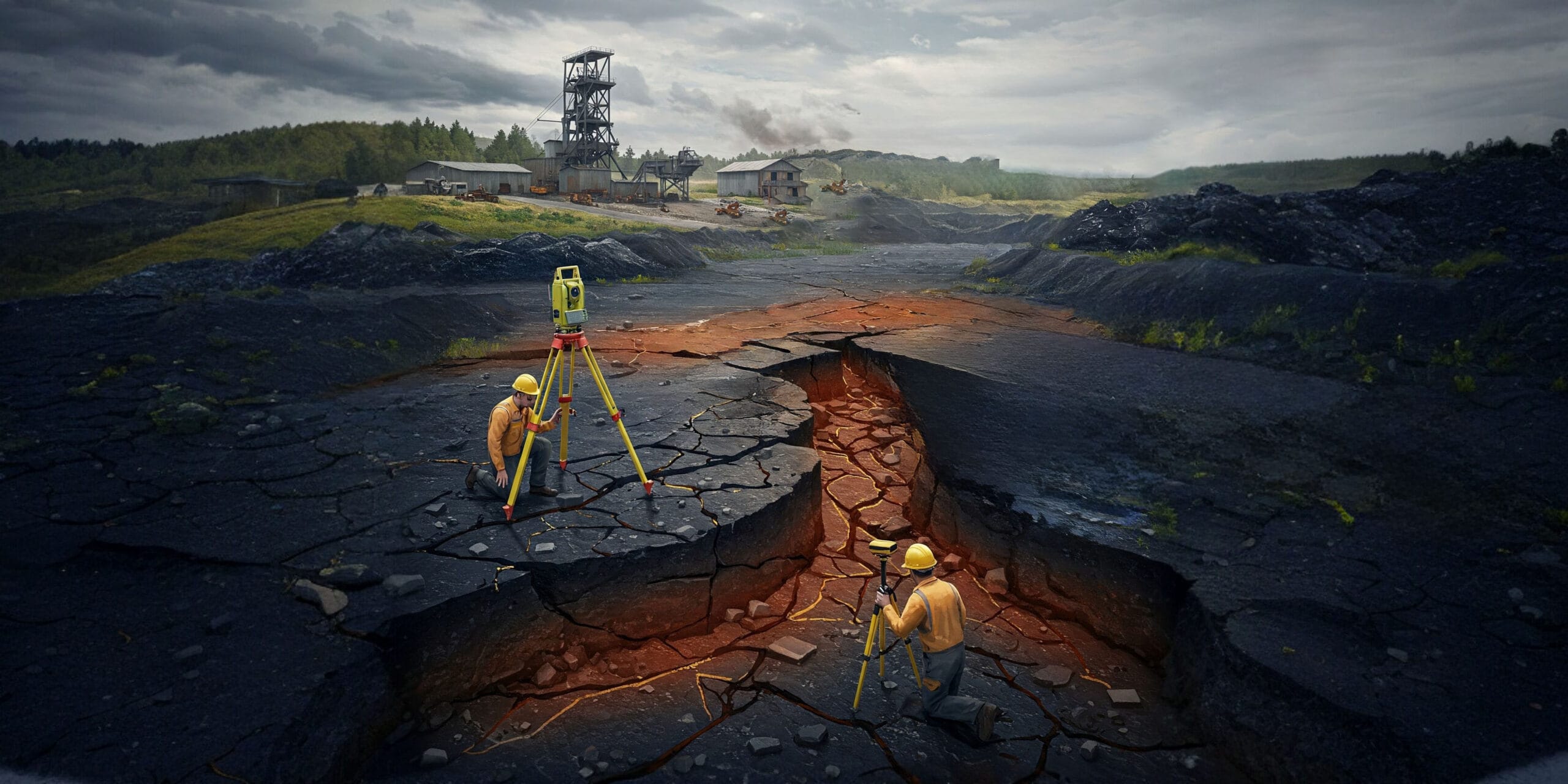
Underground mining can cause surface-level land displacement over time — known as subsidence. Unmonitored subsidence can lead to structural damage, safety hazards, and regulatory non-compliance.
Our DGPS-based Subsidence Monitoring service provides accurate, time-based measurements of vertical ground movement, ensuring you remain aligned with IBM mandates while protecting critical infrastructure above active lease areas.
CRITICAL NECESSITY
WHY IT MATTERS
Safety First
Prevent catastrophic infrastructure damage and systematically assess structural risks to nearby habitations and settlements before surface failure occurs.
IBM Mandated
Strict regulatory compliance. Periodic subsidence reports and detailed deformation metrics are legally compulsory for all underground mining leases.
Decision Support
Empowers mine planners and engineers to adjust extraction operations in real-time based on high-fidelity surface displacement feedback loops.
INTELLIGENCE WORKFLOW
METHODOLOGY
HOW IT WORKS
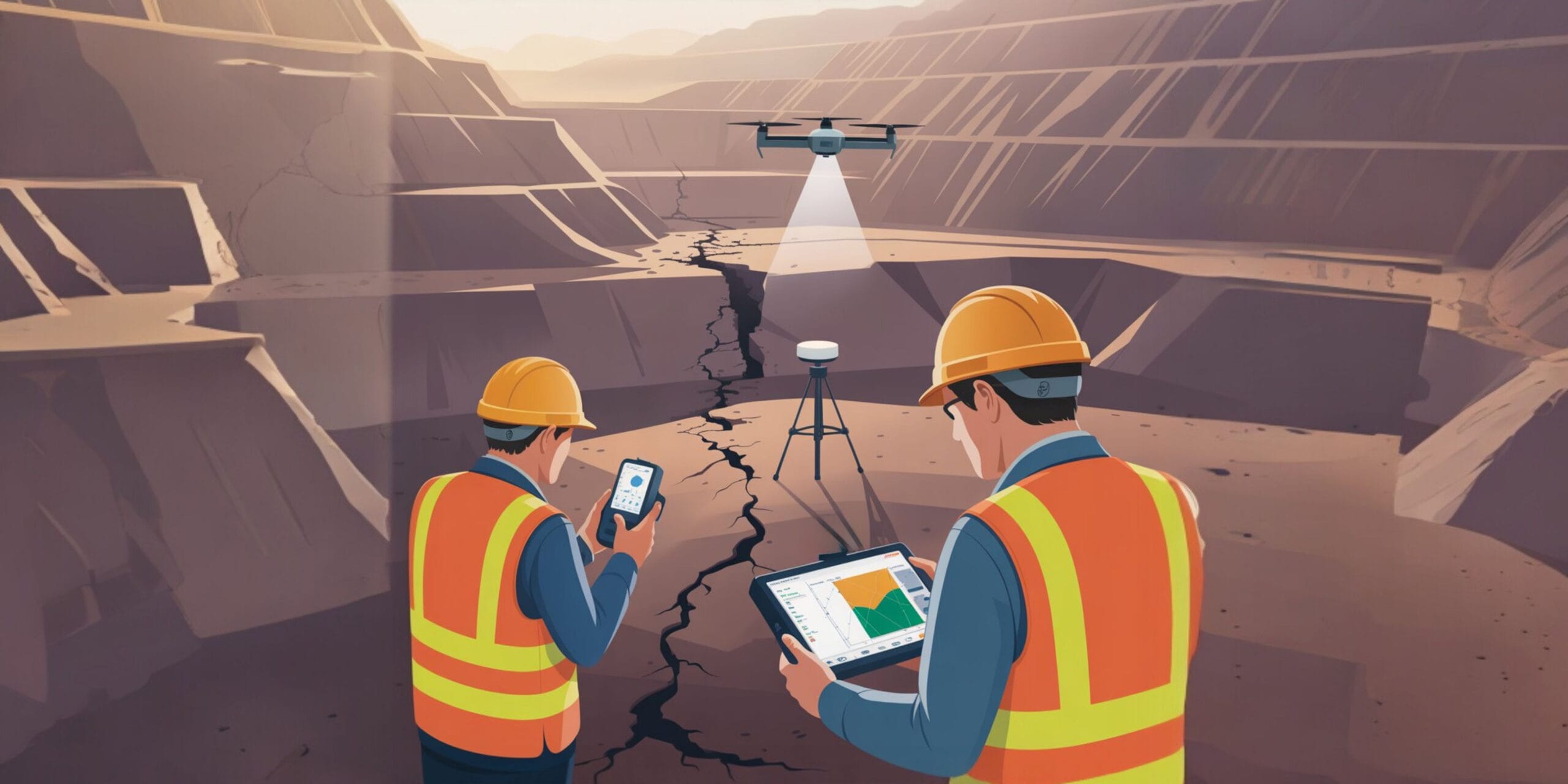
We use high-accuracy DGPS instruments and absolute reference benchmarks to continuously compare elevation data over time. Our geological intelligence team places permanent ground control points at scientifically determined sensitive zones, capturing vertical displacement readings periodically to generate a cohesive deformation timeline.
APPLICATIONS
IDEAL FOR
-
Underground Coal Mines
Longwall & Pillar extraction monitoring
-
Proximity Risk Zones
Mines near habitations or infrastructure
-
Regulatory Clearances
Projects requiring IBM mandated approvals
OUTPUT DATA
INTELLIGENCE DELIVERABLES
Comparative Elevation Maps
Visual representation of surface terrain shifts across multiple temporal datasets.
Displacement Trend Graphs
Mathematical plotting of Z-axis subsidence over time to predict future failure points.
IBM-Compliant Reports
Fully formatted and statutory compliant documentation ready for regulatory submission.
Frequently Asked Questions About Subsidence Monitoring
Clear answers about service use cases, accuracy, deliverables, and mining project workflows.
Subsidence monitoring tracks ground movement and settlement over time in mining and infrastructure areas.
It helps detect surface displacement early and prevents damage to structures, roads, and nearby settlements.
Underground mines, projects near populated areas, and sites requiring regulatory monitoring all need it.
DGPS measurements, benchmark comparisons, and repeated ground surveys are commonly used.
Typical deliverables include displacement maps, trend graphs, and monitoring reports.
NEED TO MONITOR
GROUND MOVEMENT?
Get in touch today and book your professional DGPS subsidence monitoring service with Droid Mining Solutions. Ensure your operations remain safe and compliant.
Get In Touch