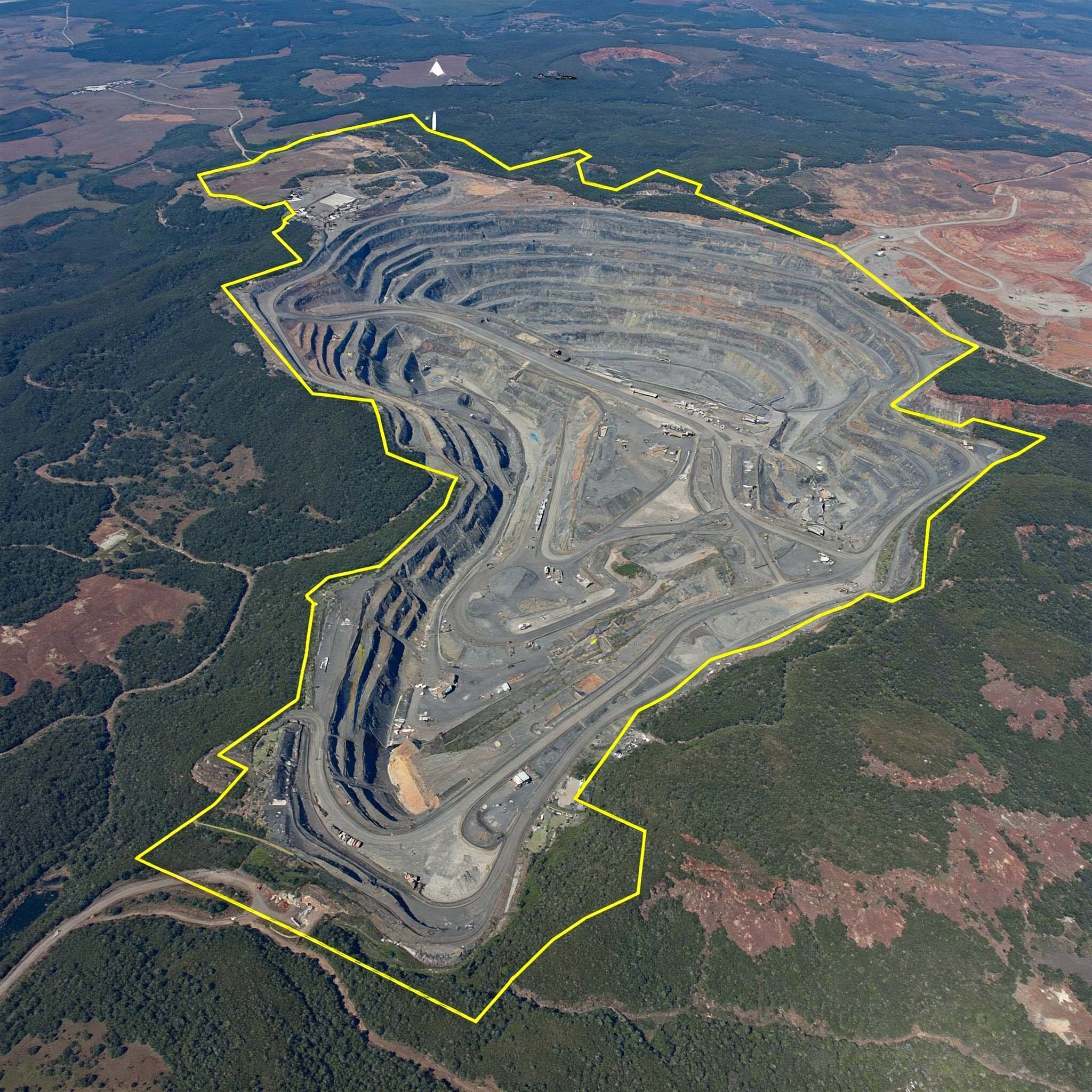
Mine Lease
Boundary Survey
Establish Legal Boundaries with Confidence
Accurate DGPS-based lease demarcation services for mining projects, ensuring regulatory compliance, precise mapping, and secure operational planning.
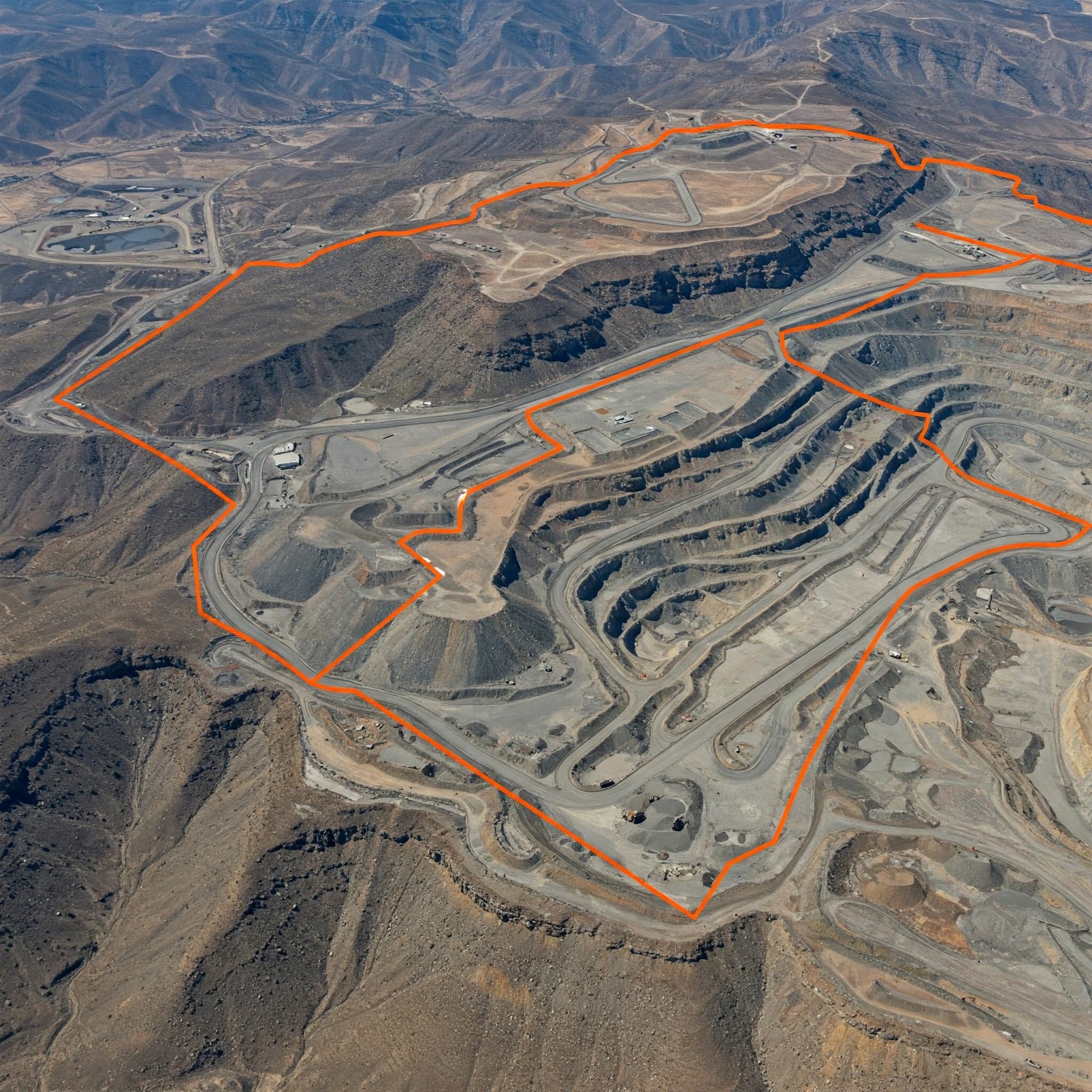
Our DGPS-based Mine Lease Boundary Surveys ensure that your mining lease area is accurately mapped and fully compliant with IBM (Indian Bureau of Mines) regulations. These surveys are critical for preparing lease documentation, resolving disputes, and maintaining the legal integrity of your mining operations.
Why It Matters
Precise boundary demarcation is a legal requirement for mining leases. It’s absolutely essential for preparing accurate mining plans, avoiding costly encroachments, and ensuring your operations are completely audit-ready under stringent government guidelines.
Secure
Our Survey Approach
High-Precision DGPS
Data Acquisition
High-precision DGPS equipment is deployed on-site to capture geo-referenced coordinates with sub-centimeter accuracy.
Boundary Pillars
Physical Monumentation
Permanent boundary pillars are physically placed and secured on-site as legally binding markers for the lease perimeter.
WGS84/UTM Mapping
Spatial Referencing
Survey data is systematically mapped, processed, and cross-referenced using standard WGS84/UTM global projections.
IBM Validation
Compliance Ready
Output data is rigorously processed, audited, and formatted precisely for Indian Bureau of Mines (IBM) submission formats.
Deliverables
Official documentation & GIS outputs
Geo-Referenced Boundary Maps
KML, SHP, PDF Formats
High-precision digital maps outlining the exact lease boundaries compatible with universal GIS software.
Coordinate Sheets
WGS84 / UTM Base
Detailed mathematical breakdowns and coordinate logs for every single boundary pillar and node.
IBM-Compliant Reports
Regulatory Submission
Fully formatted, verified, and stamped reporting packages designed exclusively for regulatory review and audit readiness.
Frequently Asked Questions
About Mine Lease Boundary Survey
Key details about DGPS-based mine lease boundary mapping, compliance documentation, and deliverables.
It is a DGPS-based service used to accurately mark and document mining lease limits.
It helps avoid encroachment, supports legal compliance, and ensures lease areas are correctly mapped.
Yes. It is commonly used for documentation and compliance requirements related to mining lease boundaries.
Survey teams collect geo-referenced coordinates, boundary pillar locations, and mapped lease outlines.
You can expect boundary maps, coordinate sheets, and compliance reports.
Request a Boundary
Survey Today
Get in touch today and book your professional DGPS mine lease boundary survey with Droid Mining Solutions.
GET IN TOUCH