Ground-Based
LiDAR Scanning
High-definition terrain capture.
Advanced terrestrial laser scanning solutions delivering ultra-precise 3D terrain models, tunnel mapping, structural documentation, and point cloud intelligence for mining environments.
BRING THE SURFACE
TO YOUR SCREEN
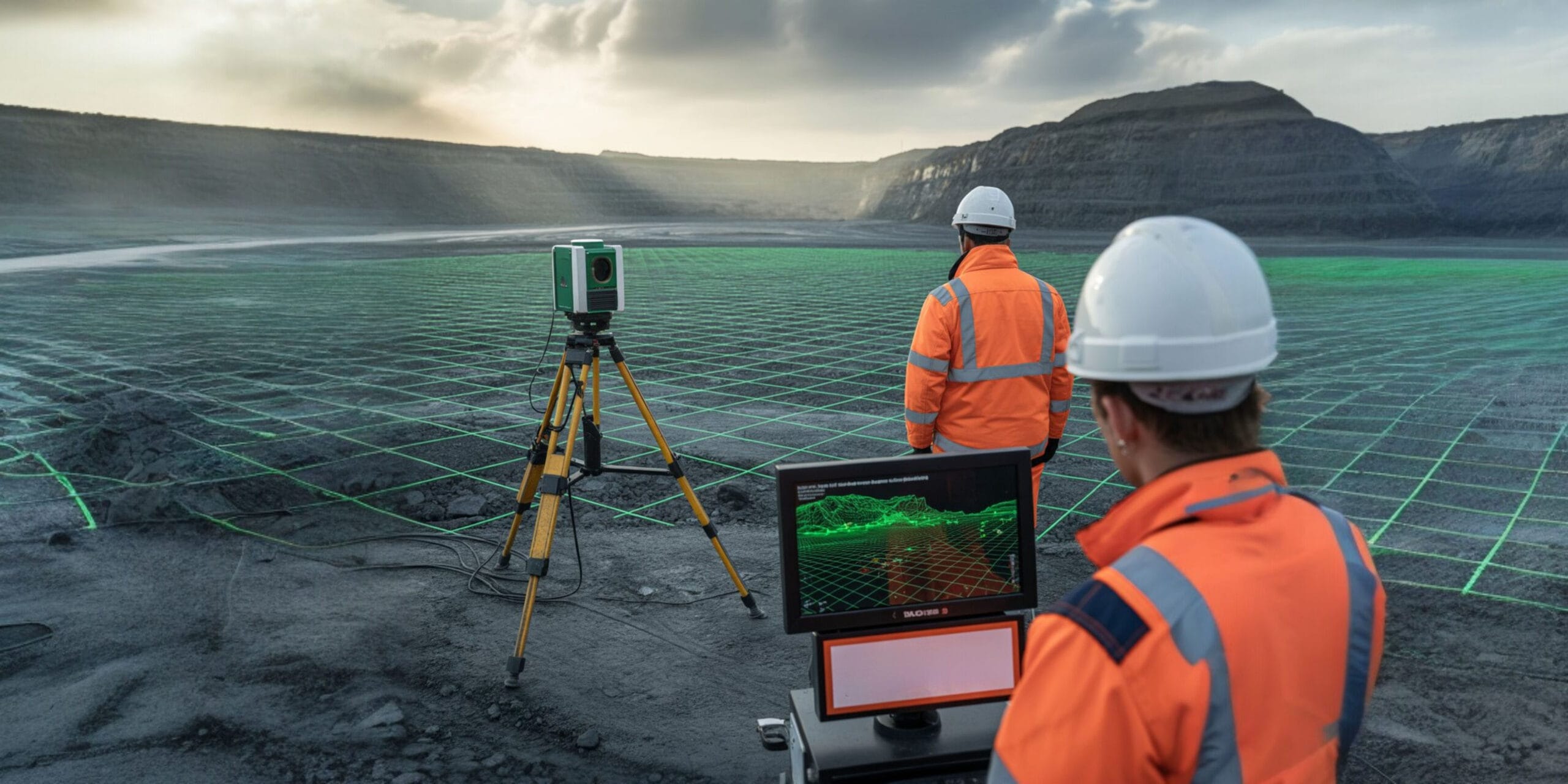
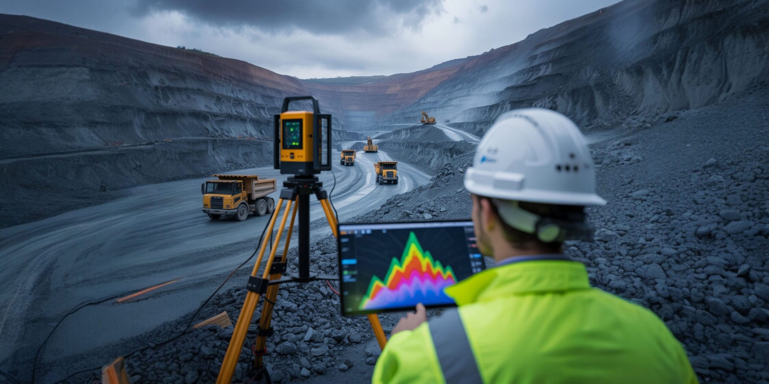
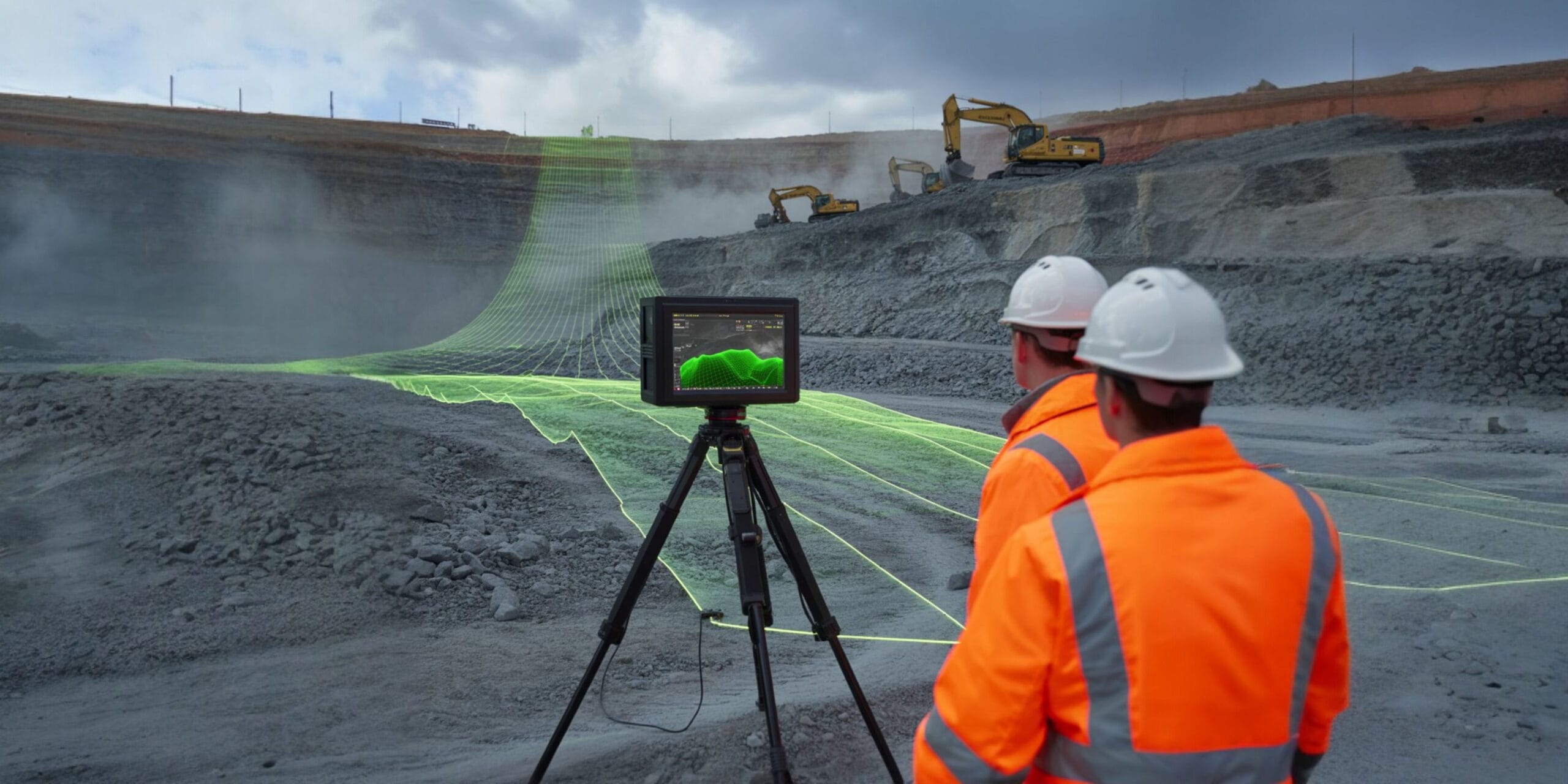
Ground-based LiDAR provides high-resolution 3D models of mine environments by capturing millions of laser points per second.
Ideal for complex terrain, underground tunnels, and structural documentation, this technology delivers detailed data where aerial surveys cannot reach, ensuring millimeter precision for critical engineering analysis.
“Future-focused, non-contact, and data-rich — essential for next-gen mining.”
PRECISION MATTERS
Why It Matters
Extreme Accuracy
Capture the finest surface details of slopes, highwalls, and underground tunnels with engineering-grade precision unmatched by traditional surveying.
Tunnel Mapping
Conduct safe, highly accurate tunnel, drift, and shaft profiling without requiring personnel to enter hazardous or unsupported areas.
Structure Documentation
Create exact digital twins of complex mining infrastructure, recording equipment foundations, retaining walls, and processing plant benches.
Abandoned Mines
Safely digitize and analyze hazardous, inaccessible, or legacy mine areas to develop accurate volumetric assessments for rehabilitation plans.
APPLICATIONS
Use Cases
Transforming physical mining environments into actionable, high-fidelity digital datasets for advanced engineering analysis.
Tunnel Profiling
Map and inspect underground passages, declines, and shafts rapidly. Generate accurate profiles without requiring manual survey entry into potentially unstable or unventilated zones.
Bench Face Modeling
Analyze slope stability, detect structural anomalies, and assess bench wall erosion with dense, ultra-realistic 3D terrain models that highlight potential failure mechanisms.
Structure Documentation
Digitally preserve and document retaining walls, foundations, surface buildings, processing plants, and critical mine utilities for reverse engineering or structural integrity audits.
LASER OUTPUTS
Deliverables
Point Cloud Data
Raw, unadulterated LAS/LAZ files containing millions of geo-referenced 3D data points for deep CAD integration.
3D Surface Models
Fully textured, triangulated meshes (TIN/DTM) ready for volumetric analysis and immersive visualization.
Cross Sections
Extracted 2D profiles, contour plans, and highwall cross-sections tailored for immediate engineering review.
Frequently Asked Questions About Ground-based LiDAR Scanning
Clear answers about service use cases, accuracy, deliverables, and mining project workflows.
It is a terrestrial laser scanning method that captures dense 3D surface data of terrain, tunnels, and structures.
It provides very high-detail surface data where aerial capture may not be enough.
It can scan slopes, pit walls, tunnels, benches, stockpiles, and structural surfaces.
Yes. It captures data without physically touching the surface, which improves safety and efficiency.
Deliverables include point clouds, 3D surfaces, contour plans, and cross-sections.
Transform Survey Data
Into Insight
Get in touch today and book your professional ground-based LiDAR scanning service with Droid Mining Solutions. Capture reality with millimeter precision.
GET IN TOUCH