Advanced Mining Survey &
Geospatial Services
Drone Survey • DGPS • LiDAR • GIS • Underground • GPR
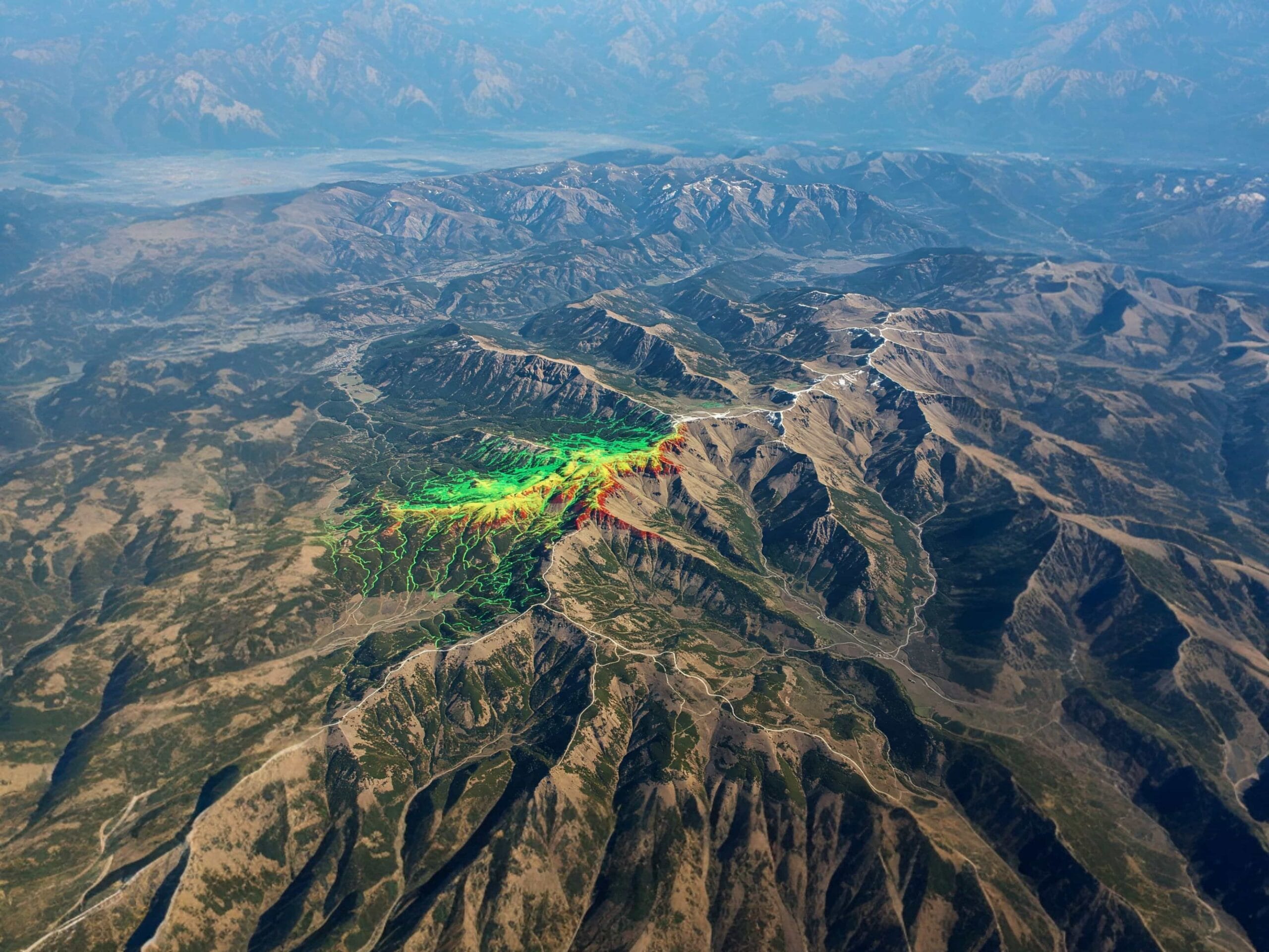
End-to-end mining intelligence solutions powered by advanced drone surveying, geospatial technology, underground mapping, and engineering visualization systems.
OUR EXPERTISE
Core Services
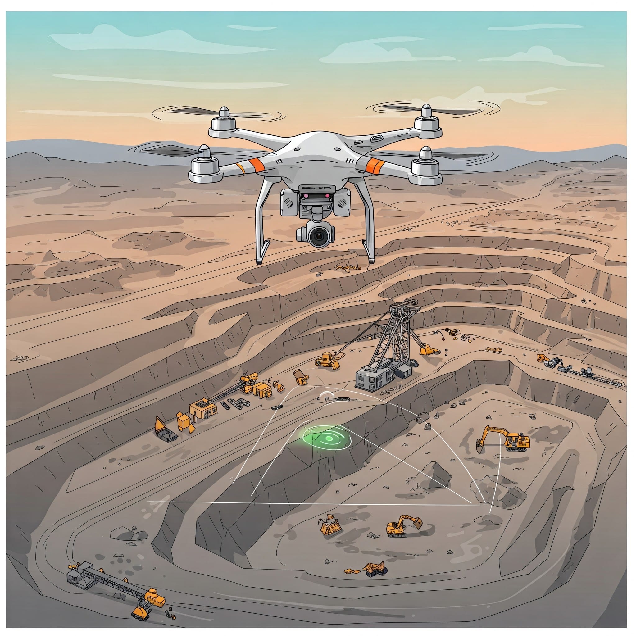
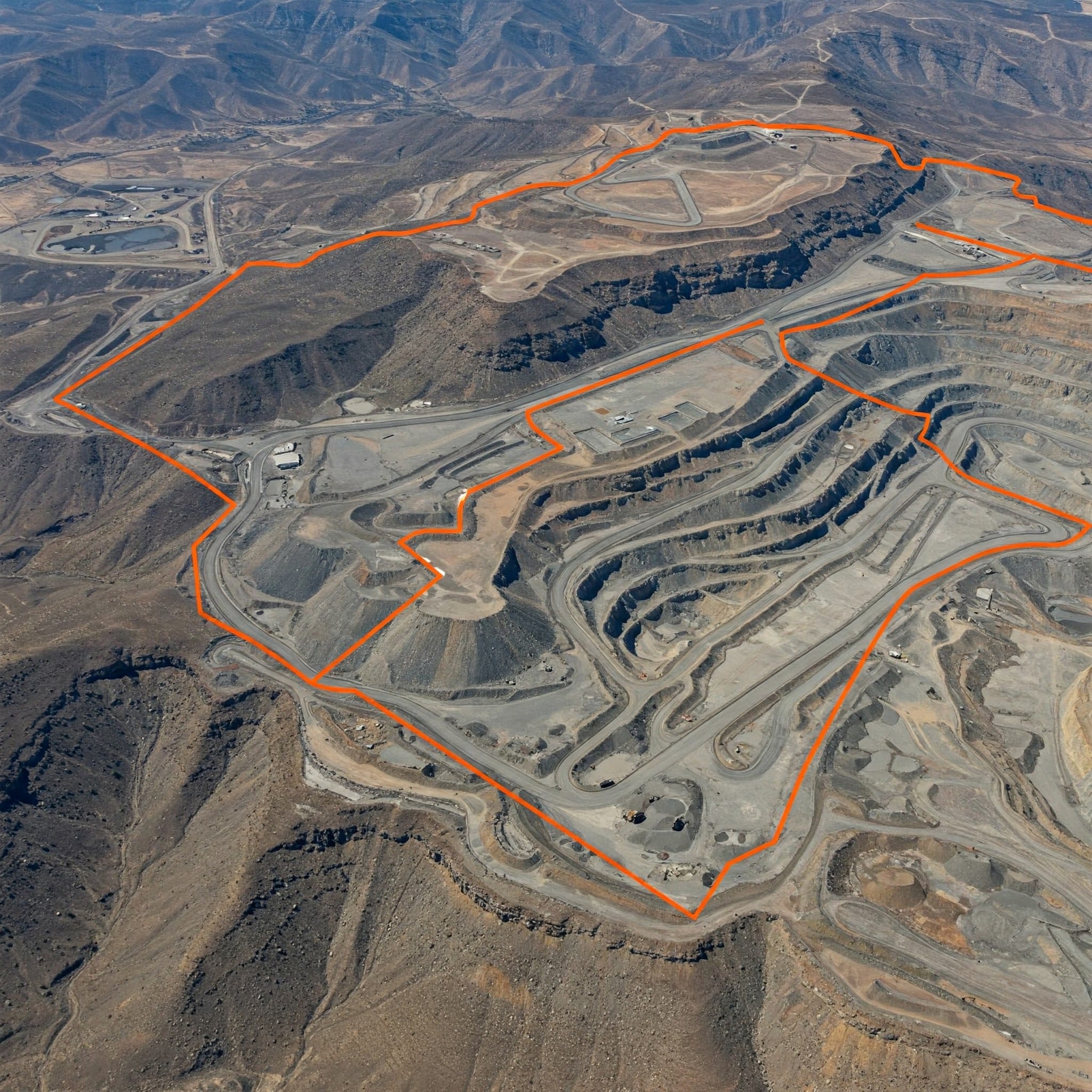
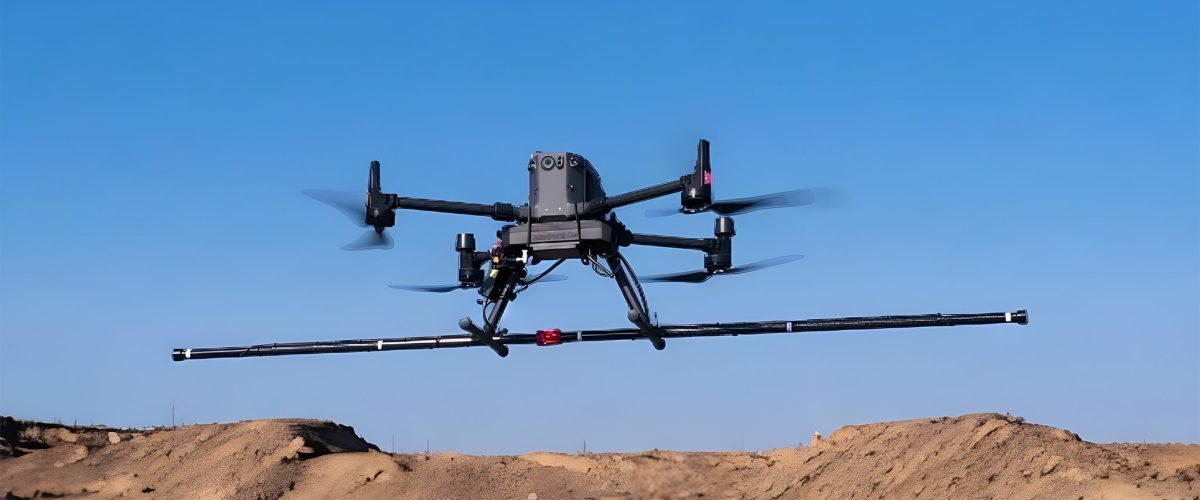
Drone Survey
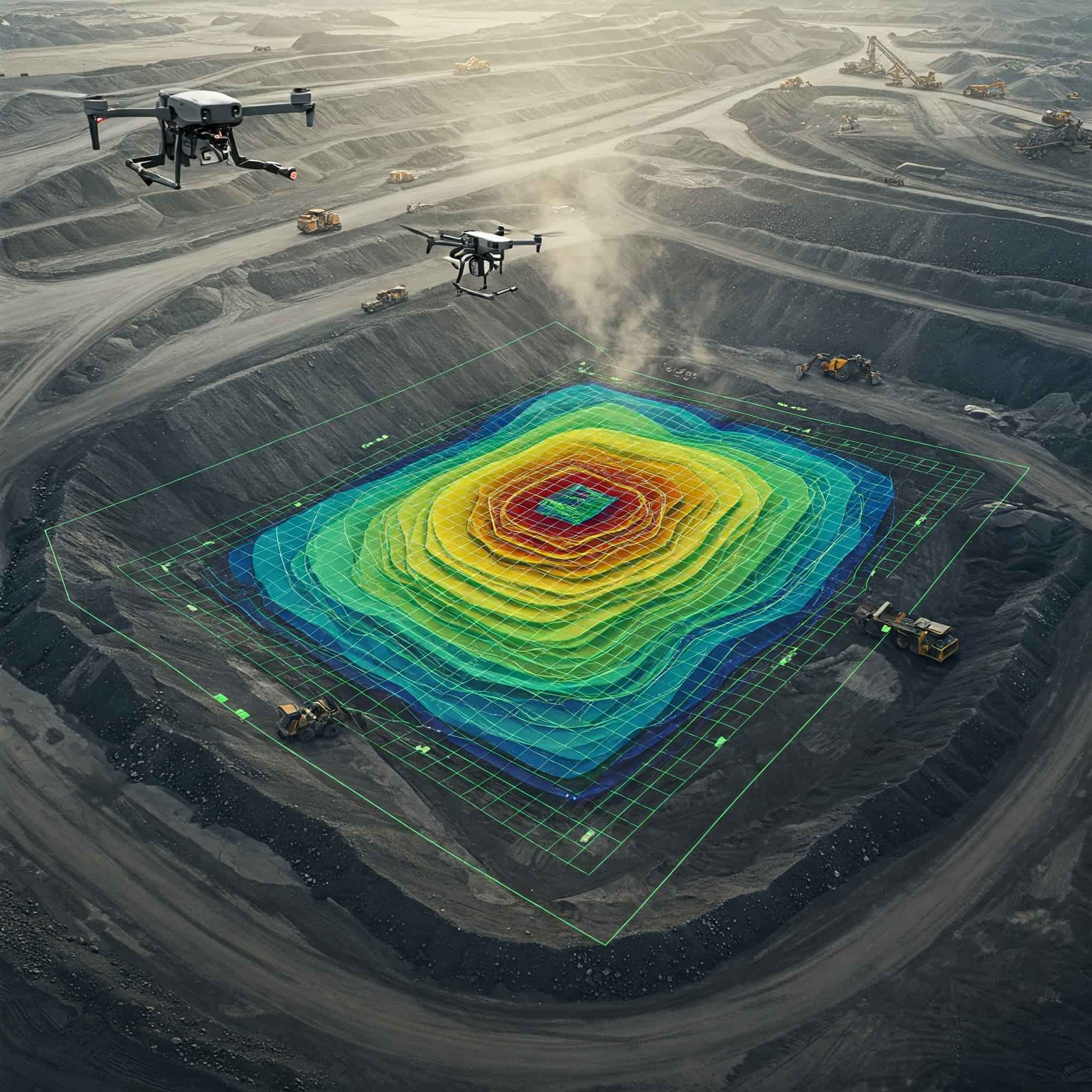
Advanced drone-based aerial survey and mine intelligence solutions for mapping, monitoring, and volumetric analysis.

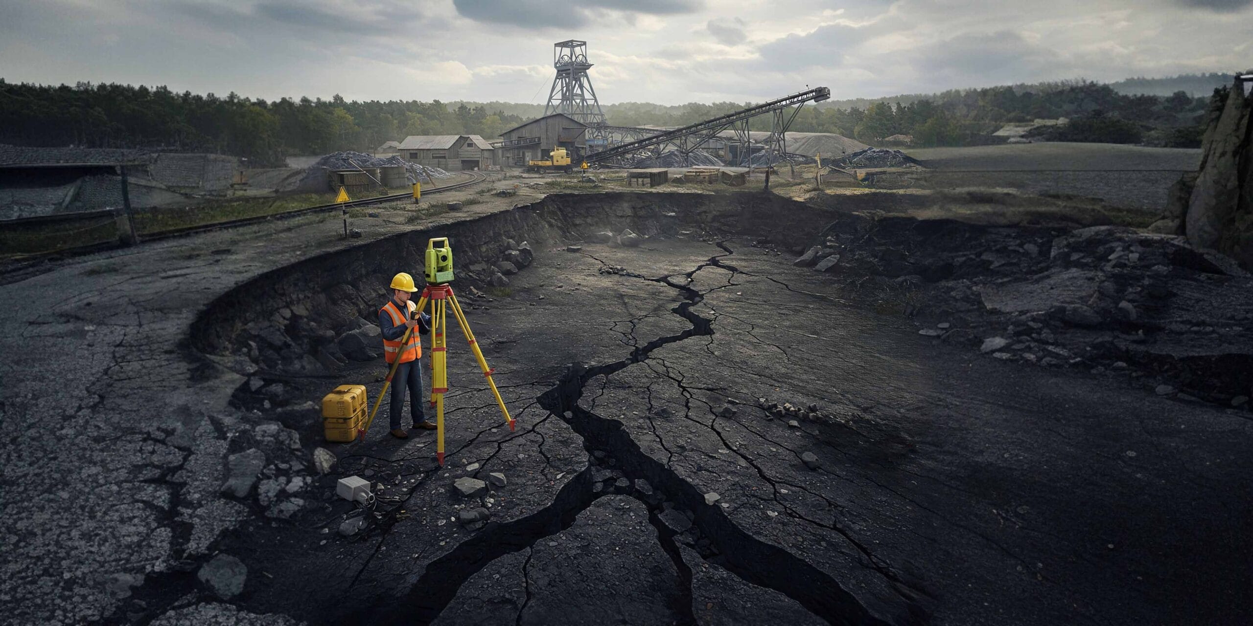
DGPS Survey
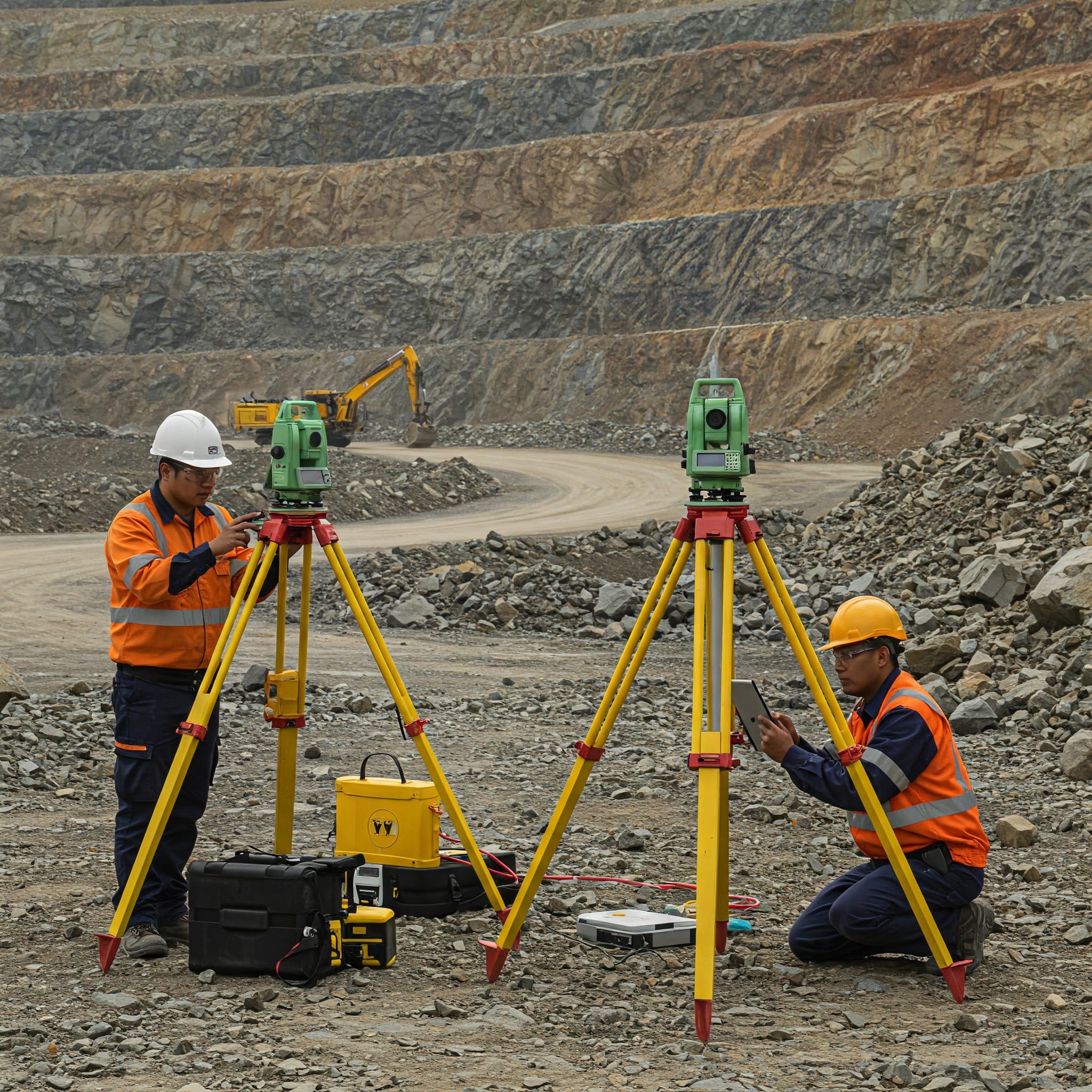
Precision DGPS survey solutions for mine boundaries, subsidence monitoring, and slope stability analysis.

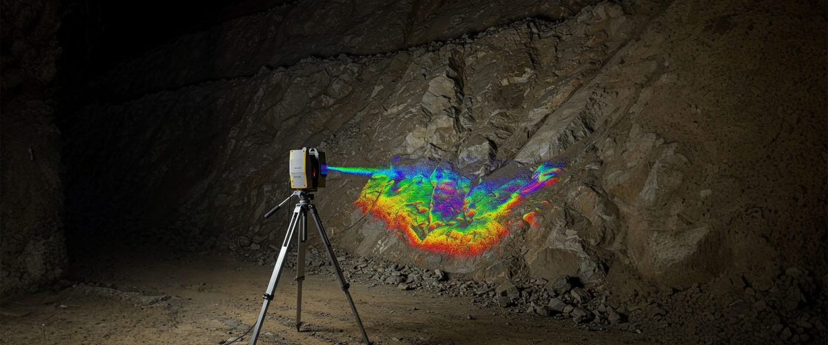
GIS & Remote Sensing
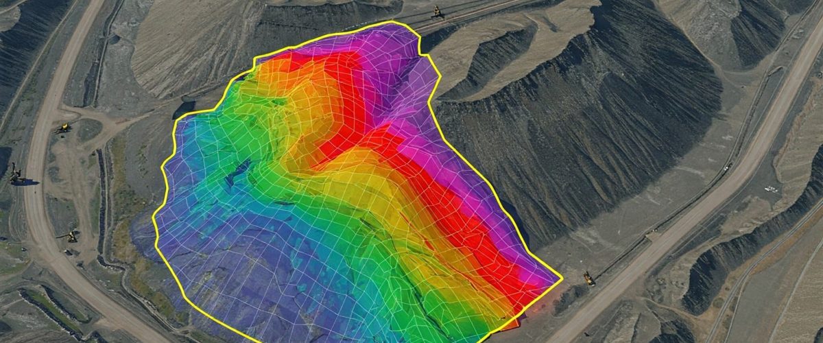
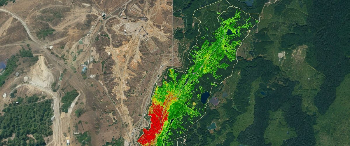
Advanced GIS, remote sensing, geophysical exploration, LiDAR mapping, and underground intelligence solutions.
GIS & Remote Sensing
Underground Mining
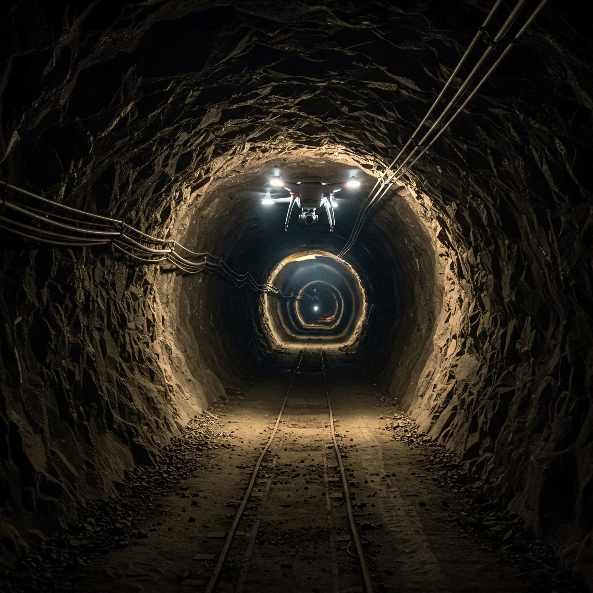
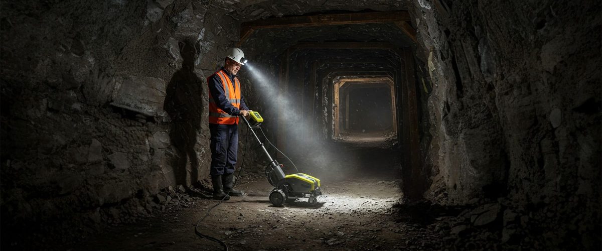
Underground inspection, monitoring, and geo-technical intelligence solutions powered by drones and LiDAR systems.
Underground Mining


Opit Blast
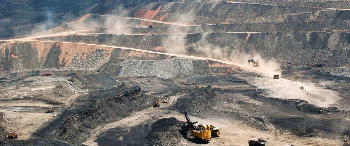
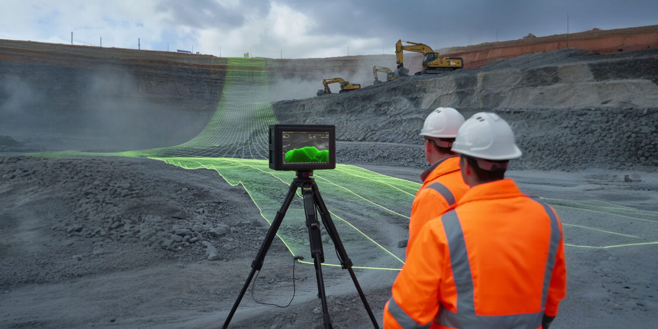
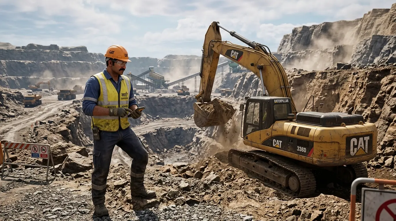
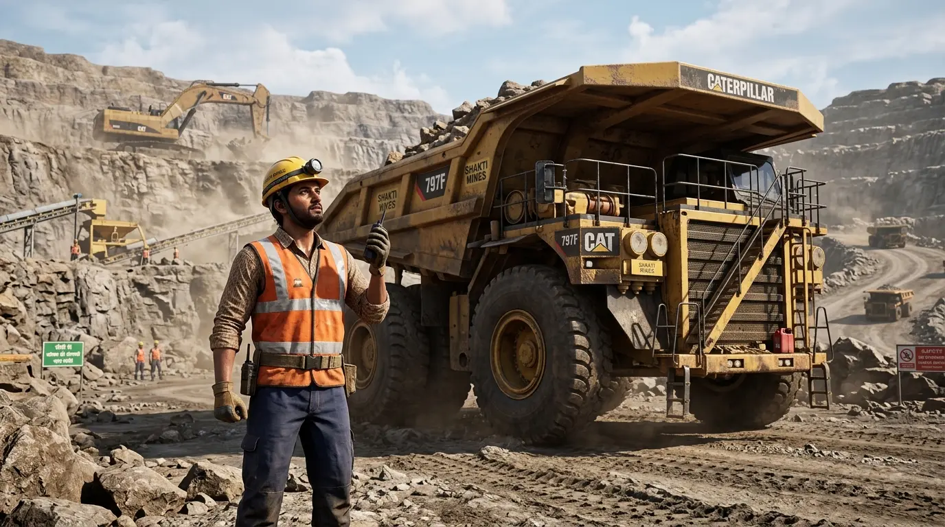
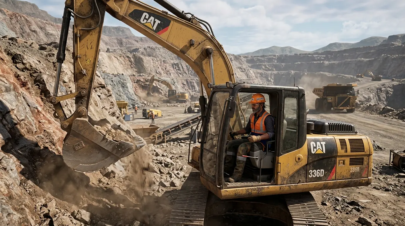
Advanced drill & blast analysis solutions for fragmentation, vibration monitoring, blast planning, and reporting.
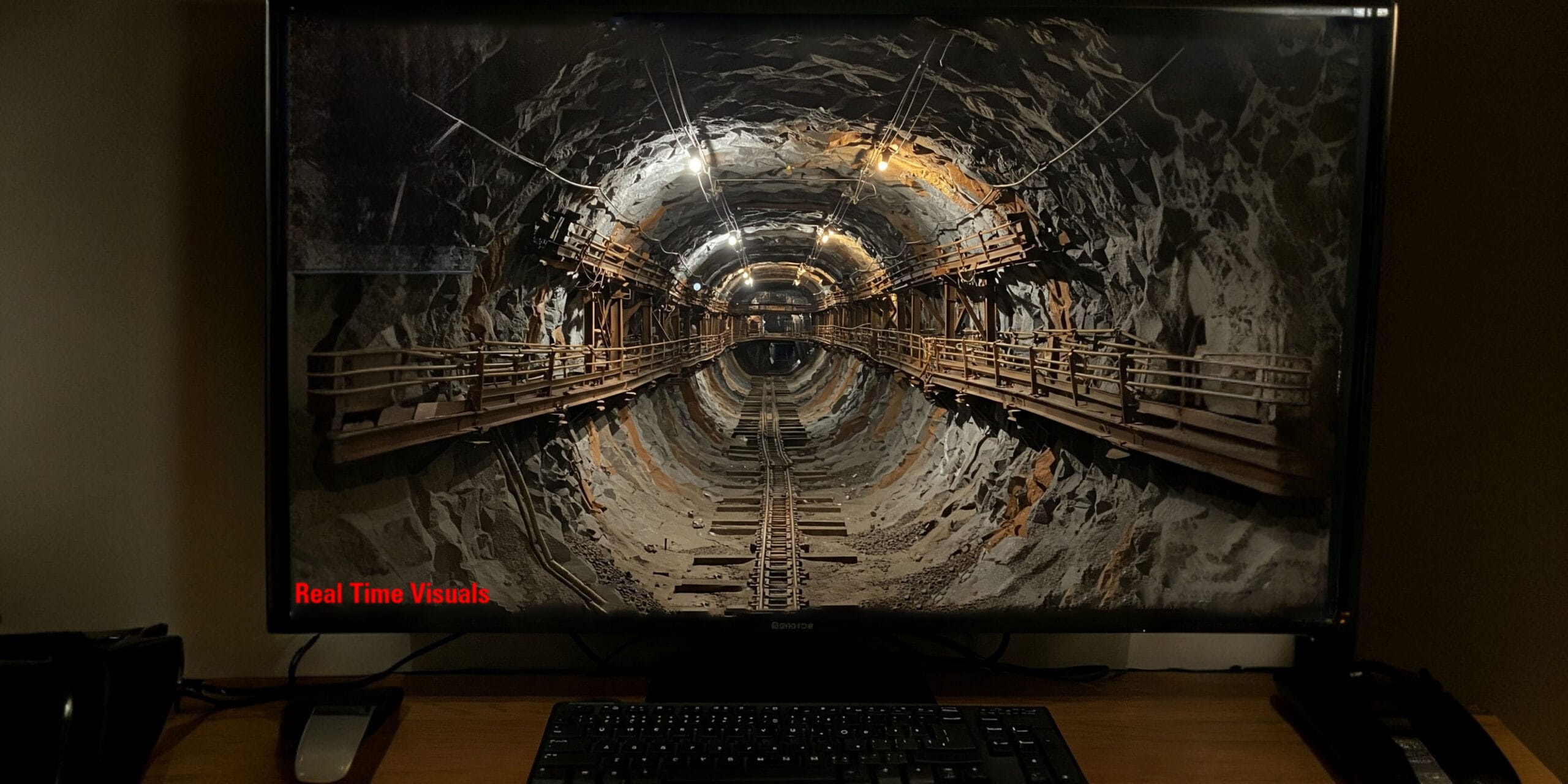
3D Animation
Industrial 3D animation, mine process simulation, walkthroughs, and engineering visualization services.
THE DROID ADVANTAGE
Why Choose
Droid Mining Solutions
- Advanced Mining Intelligence
- Drone & LiDAR Expertise
- DGPS Precision Survey
- Underground Mapping Specialists
- Enterprise Geospatial Solutions
- Fast Turnaround & Accurate Deliverables
GLOBAL REACH
Industries We Serve
Mining
Infrastructure
Construction
Geology
Environmental
Industrial Inspection
KNOWLEDGE BASE
Frequently Asked Questions
We provide drone survey, DGPS survey, LiDAR mapping, GIS & remote sensing, GPR, underground inspection, volumetric analysis, and 3D animation services.
Drone surveys improve safety, reduce field time, and provide highly accurate aerial data for mine planning and continuous operational monitoring.
Mining, infrastructure, construction, environmental monitoring, and industrial inspection industries commonly use advanced geospatial solutions for precision data.
Yes. We provide comprehensive tunnel inspection, stope monitoring, and geo-technical analysis using autonomous drones, SLAM navigation, and LiDAR systems.
Deliverables typically include orthomosaics, DEM/DTM models, point clouds, contour maps, 3D meshes, structural reports, and GIS-ready CAD outputs.
Ready to Transform Your
Mining Intelligence?
Connect with Droid Mining Solutions for advanced survey, mapping, monitoring, and underground intelligence services tailored to your operations.