Underground
Mining Solutions
Unlock Underground Safety & Intelligence
Advanced underground drone inspections, LiDAR mapping, tunnel analysis, and stope monitoring solutions designed for safer and smarter mining operations.
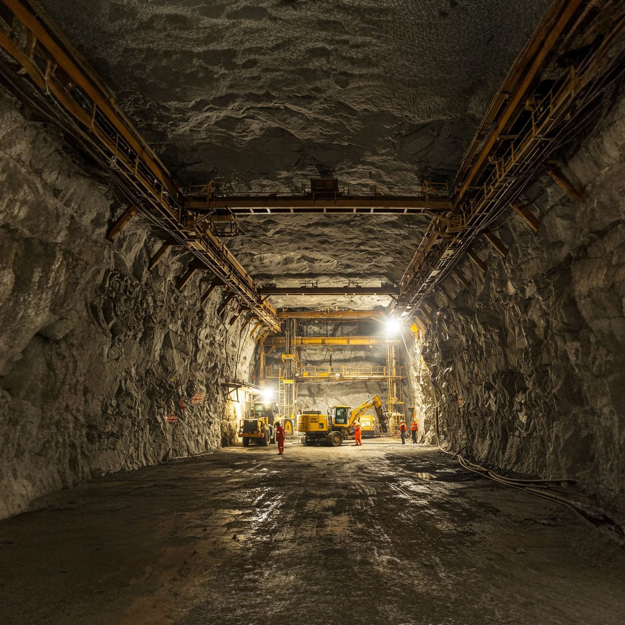
Why Underground Mining Needs Advanced Monitoring
Underground mines are complex and dangerous environments where traditional inspection methods are risky, slow, and often limited in visibility.
Our cutting-edge underground monitoring solutions use autonomous drones, LiDAR, and geotechnical sensors to deliver precise data without putting human lives at risk.
Key Advantages
- Zero human entry in hazardous zones
- BIM & DGMS compliant data outputs
- Faster inspections and better decisions
- Real-time underground monitoring
- 3D visual models for planning & documentation
Our Core Capabilities
Precision underground mapping and monitoring powered by drones, LiDAR, and intelligent analytics.
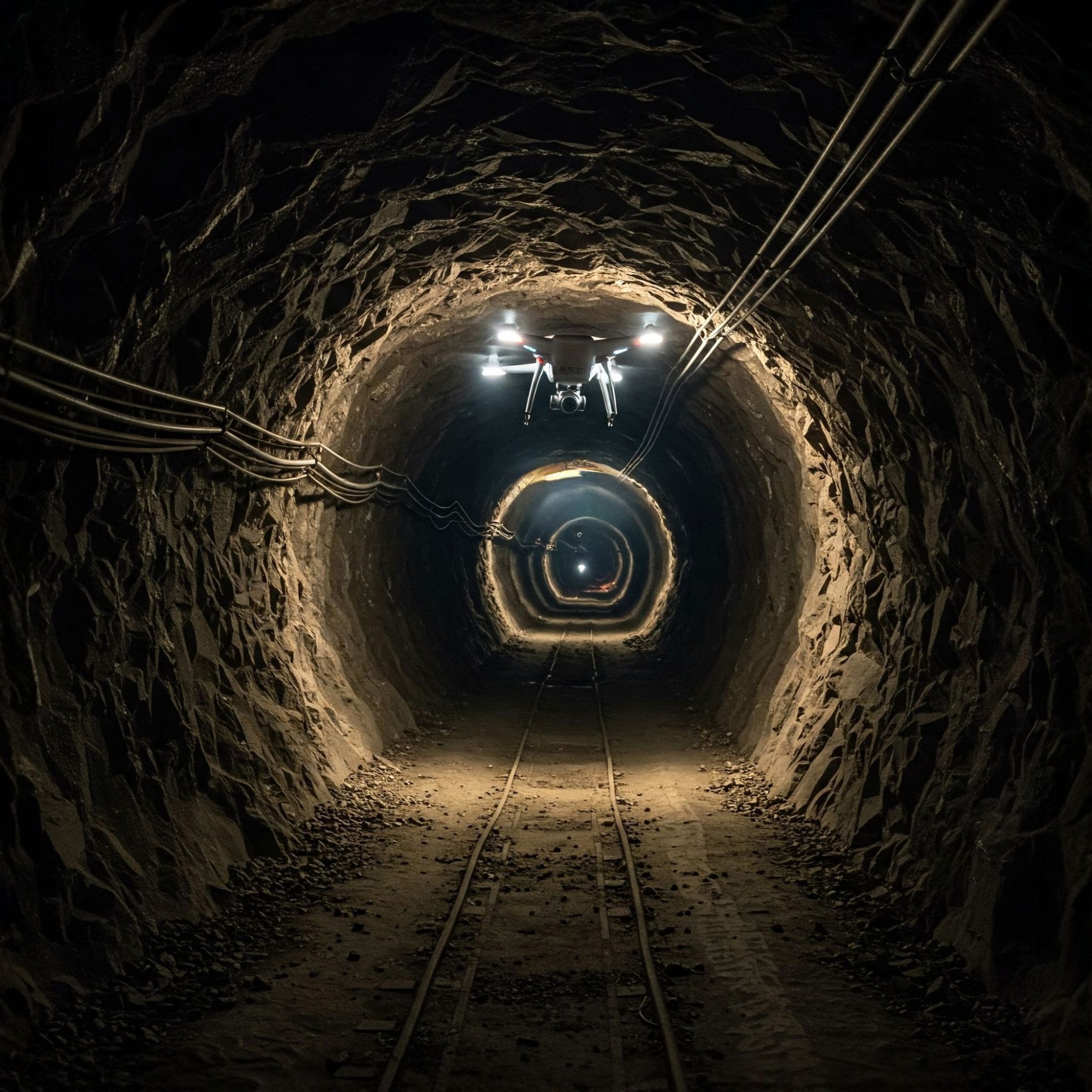
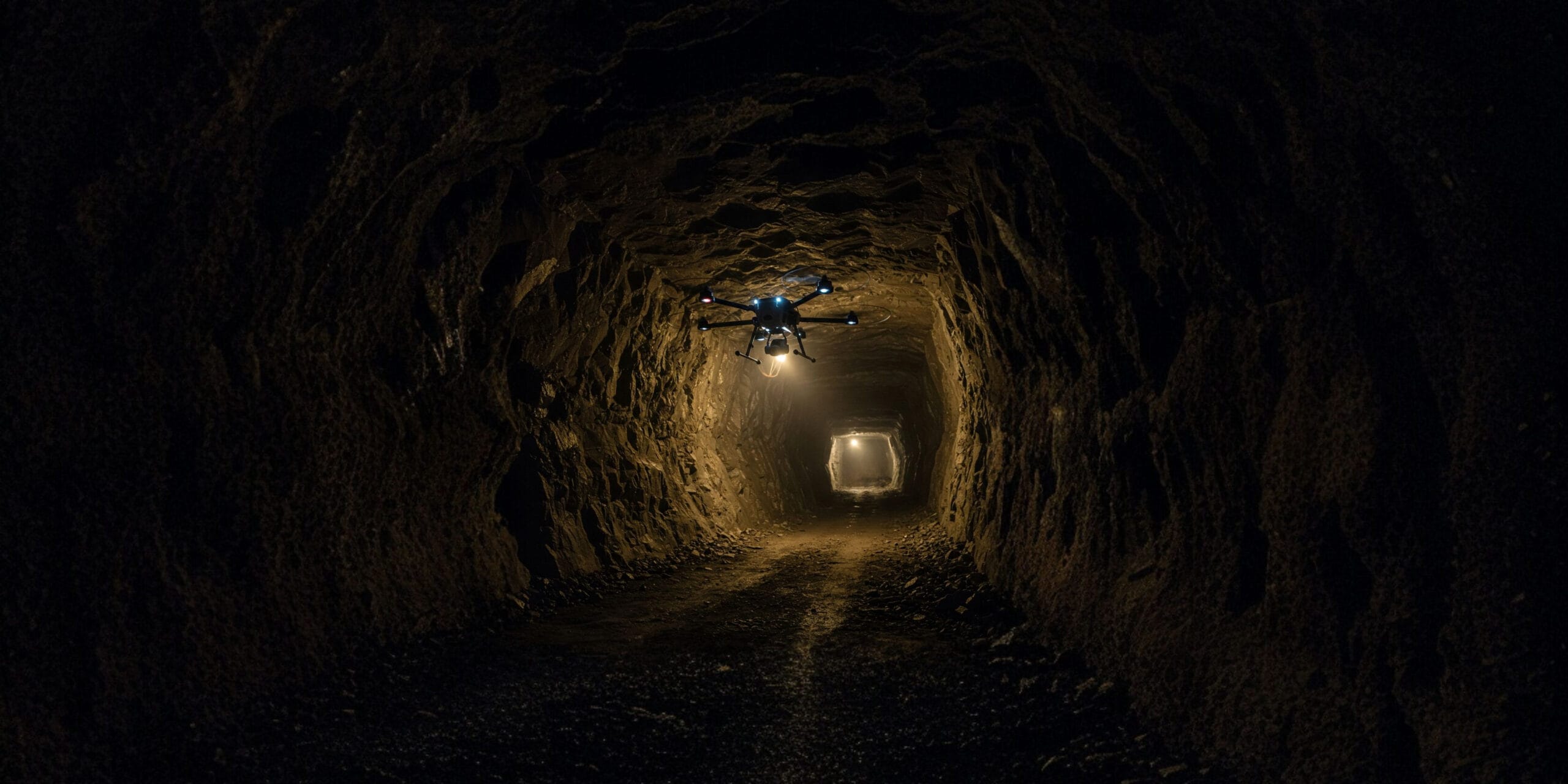
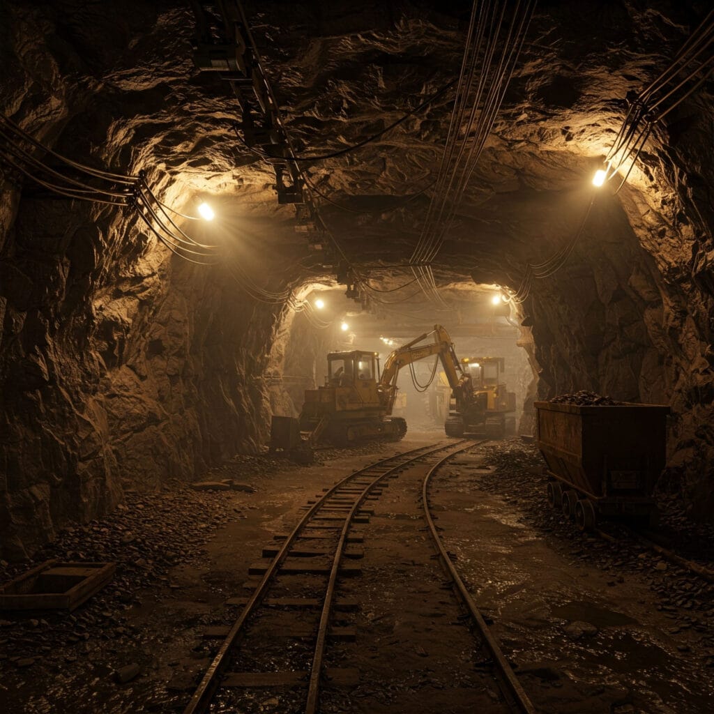
Tunnel Inspection via Drone
Navigate complex shafts and record structural visuals in real-time using autonomous underground drones. Eliminate risk while gaining unprecedented visual access to deep tunnel networks.
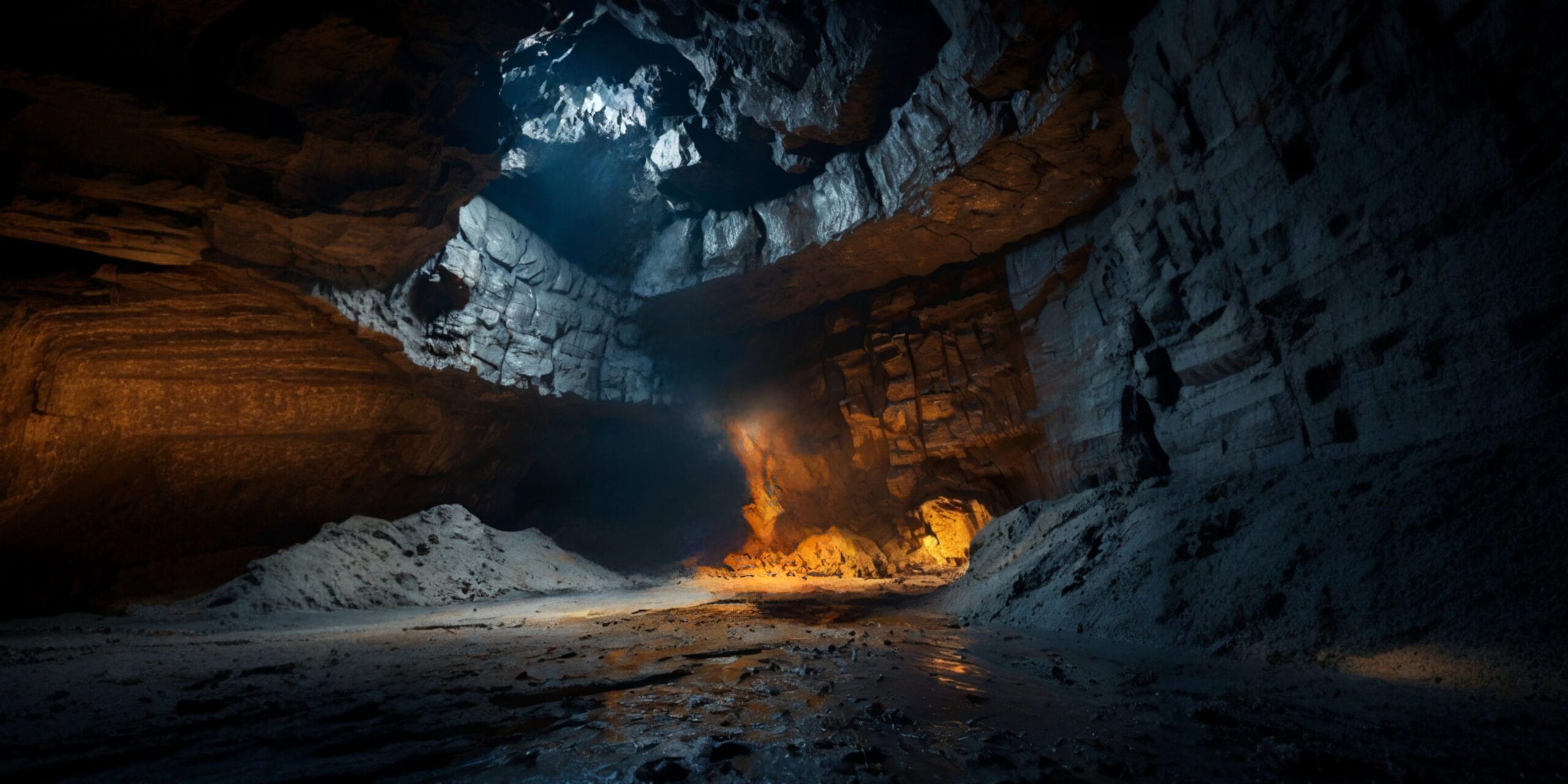
Stope Monitoring
Capture volume, fill levels, cavity mapping, and post-blast cavity data for underground mine optimization. Generate accurate 3D models of inaccessible stopes.

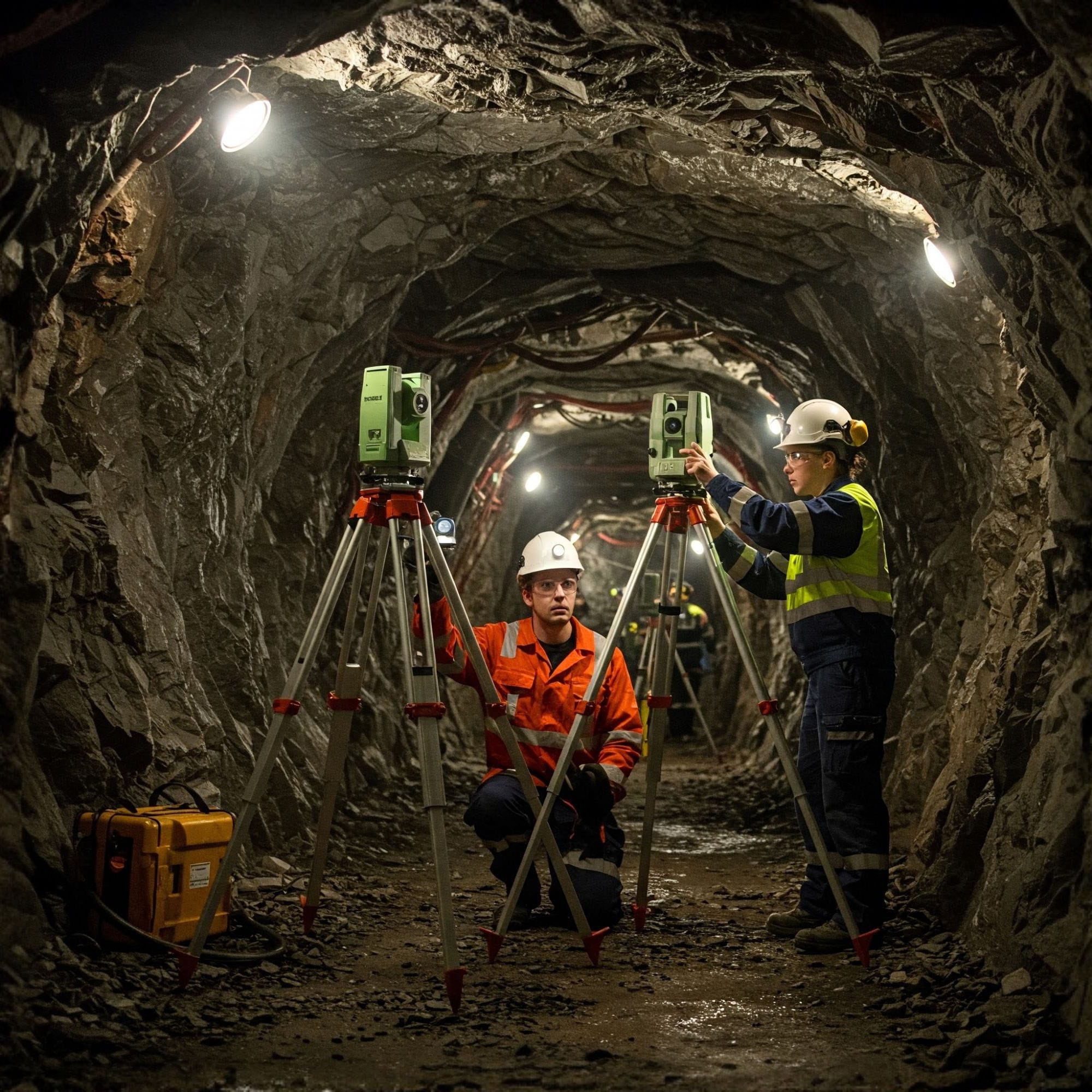
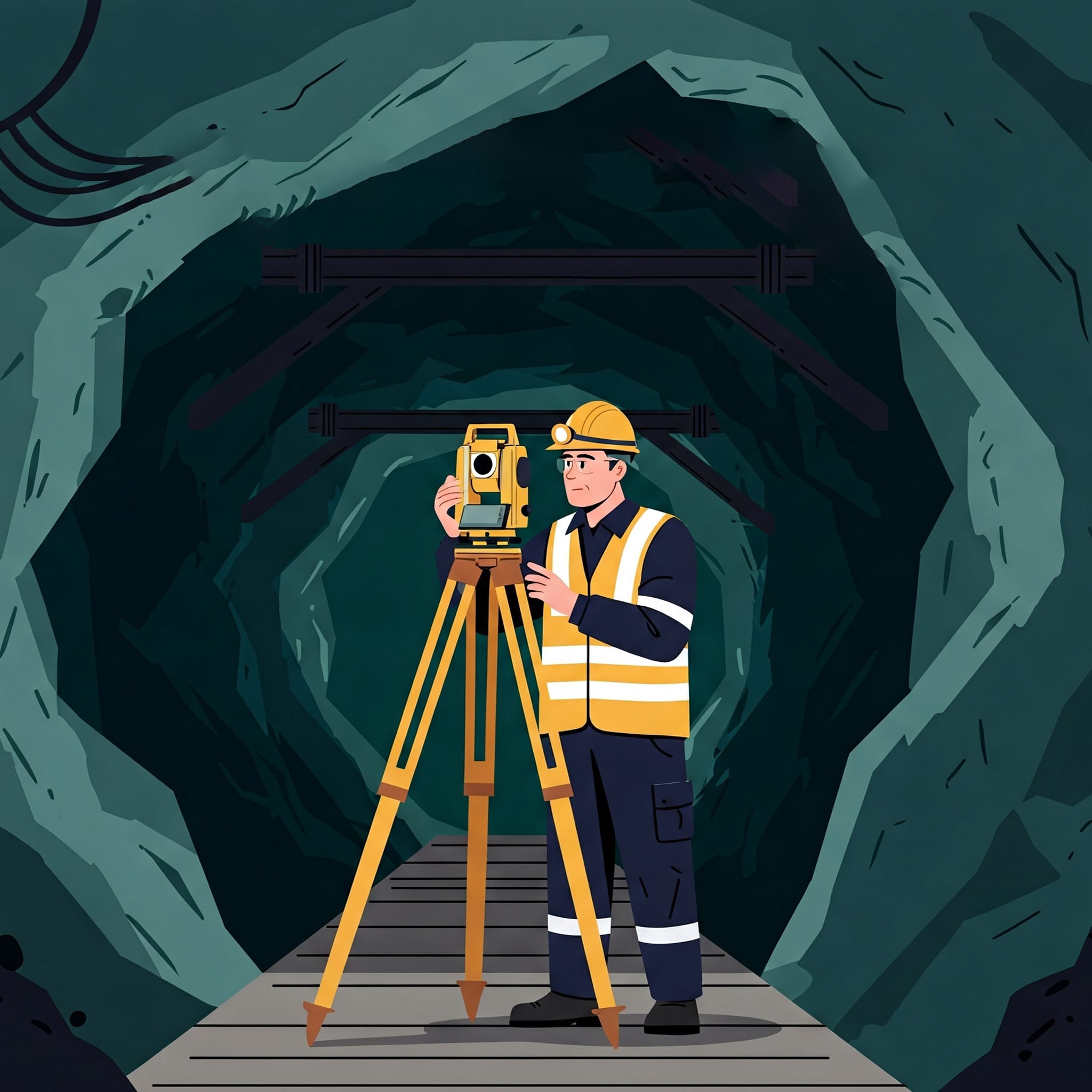
Geo-technical Analysis
Assess ground stability, convergence, structural integrity, and underground support systems with precision LiDAR data to prevent failures and ensure safety.
Underground Mining Applications
Post-blast Cavity Inspection
Monitoring Ground Movement
Structural Damage Assessment
Stope Volume Analysis
Tunnel Deformation Monitoring
Convergence Tracking for Safety
Deliverables
“From base setup to post-processing, here’s how we deliver sub-centimeter accuracy underground.”
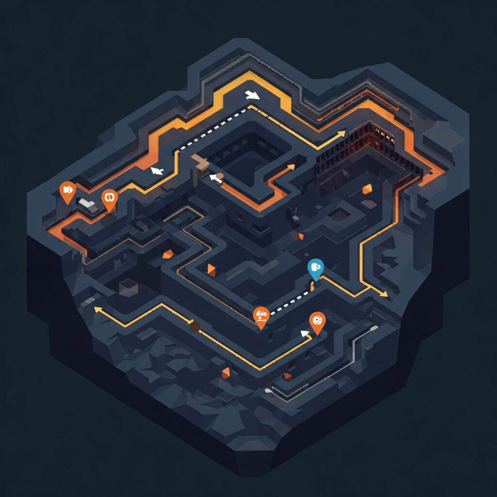
3D Tunnel Maps
Crack & Defect Reports
High-Resolution Visuals & Videos

BIM-Compliant Survey Reports
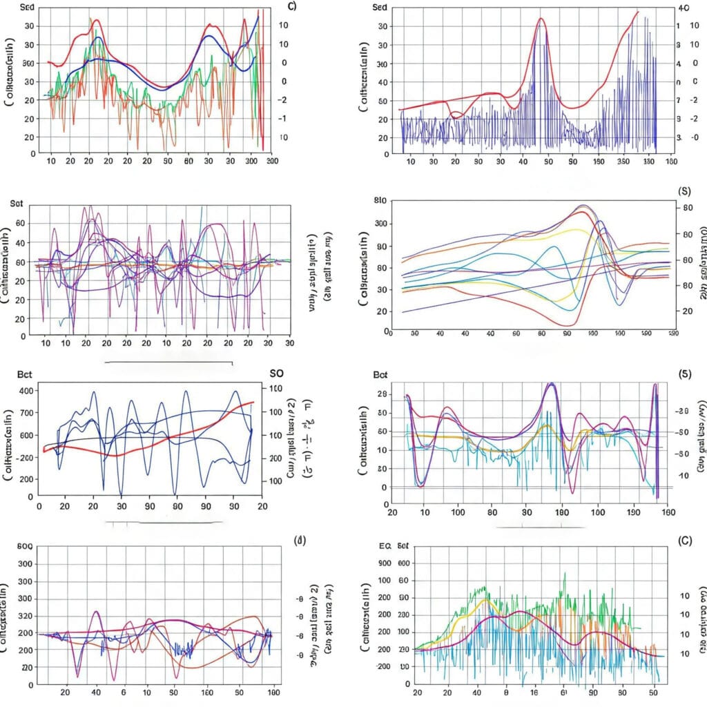
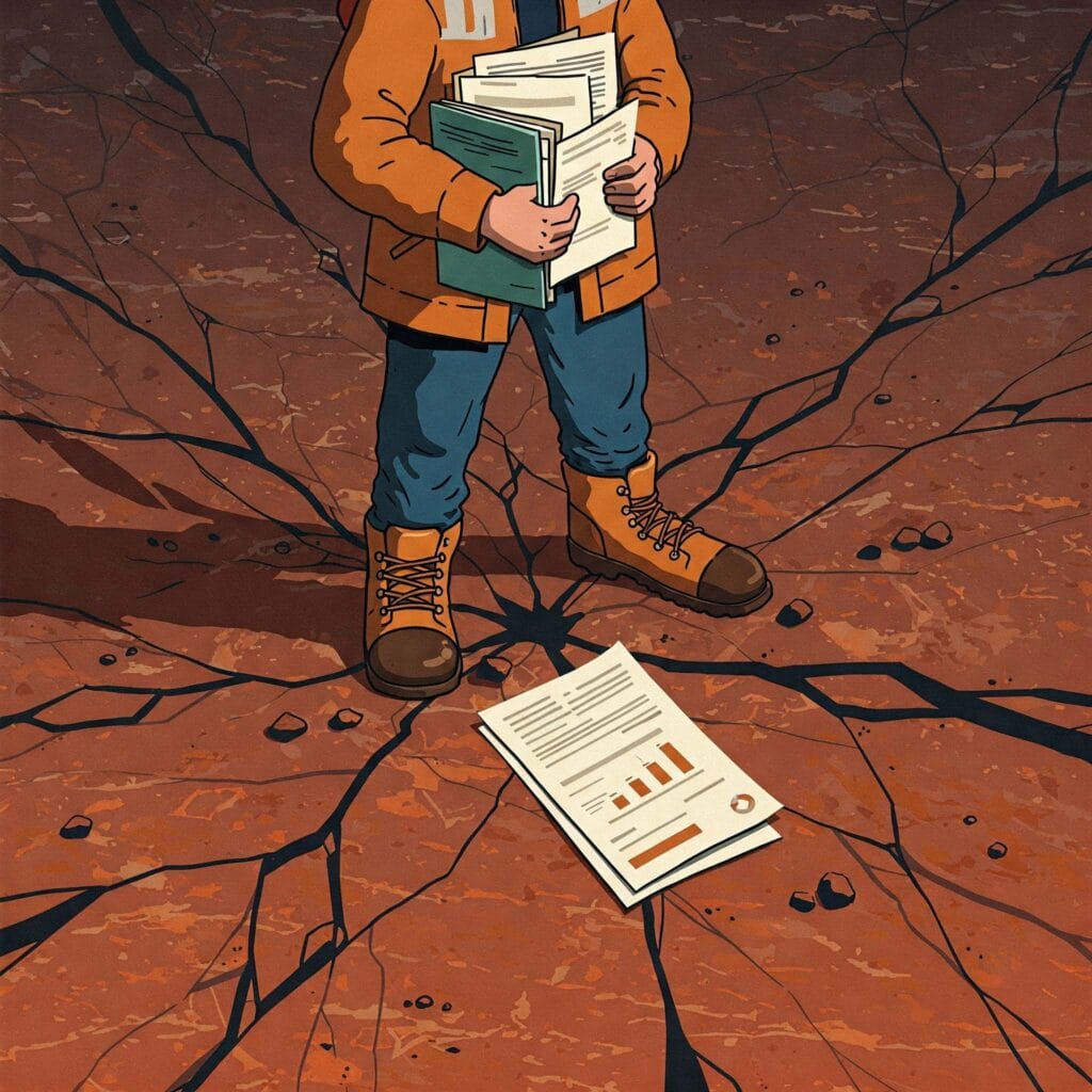
Comparative Volume & Deformation Graphs
Highly detailed engineering graphs for long-term safety and volume tracking.
Frequently Asked Questions About Underground Mining Solutions
Clear answers about service use cases, accuracy, deliverables, and mining project workflows.
They are services designed for tunnel inspection, stope monitoring, geotechnical analysis, and underground safety.
They improve safety, help manage structural risk, and support deeper mine operations.
Services include tunnel inspection, stope monitoring, underground mapping, and geo-technical analysis.
SLAM drones, LiDAR, photogrammetry, thermal imaging, and sensor integration are commonly used.
Deliverables include tunnel maps, deformation reports, crack visuals, and structural maps.
Underground Safety.
Digital Precision.
Get in touch today and book your professional underground survey and monitoring solution.
GET IN TOUCH