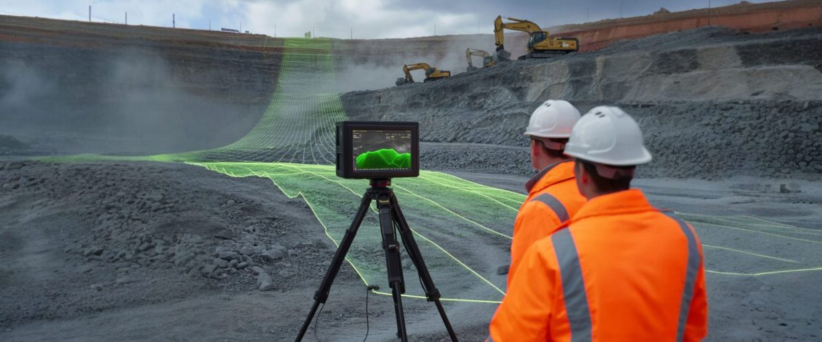
Ground-based LiDAR Scanning
“High-definition terrain capture for mining safety, planning, and documentation.”

"Bring the surface to your screen — with millimeter precision."
Ground-based LiDAR provides high-resolution 3D models of mine environments by capturing millions of laser points per second. Ideal for complex terrain, underground tunnels, and structural documentation, this technology delivers detailed data where aerial surveys cannot reach.
Future-focused, non-contact, and data-rich — essential for next-gen mining.
Why It Matters
🔎 Extreme Accuracy: Capture fine surface detail of slopes, walls, and tunnels.
🕳️ Tunnel Mapping: Safe, accurate tunnel and shaft profiling without entry.
🏗️ Structure Documentation: Record equipment foundations, walls, and benches.
⚠️ Abandoned Mines: Digitize hazardous or legacy mine areas for rehabilitation plans.
📦 Use Cases
🛤️ Tunnel Profiling
Map and inspect underground passages without manual entry.
⛰️ Bench Face Modeling
Analyze slope stability and bench wall erosion with dense terrain models.
🏢 Structure Documentation
Digitally preserve retaining walls, foundations, buildings, and mine utilities.
